Finally, something to talk about other than the heat! For at least the next few days in SE Mississippi and SW Alabama, the temperatures should stay out of the 90s. This is no doubt a relief after the intense heat.
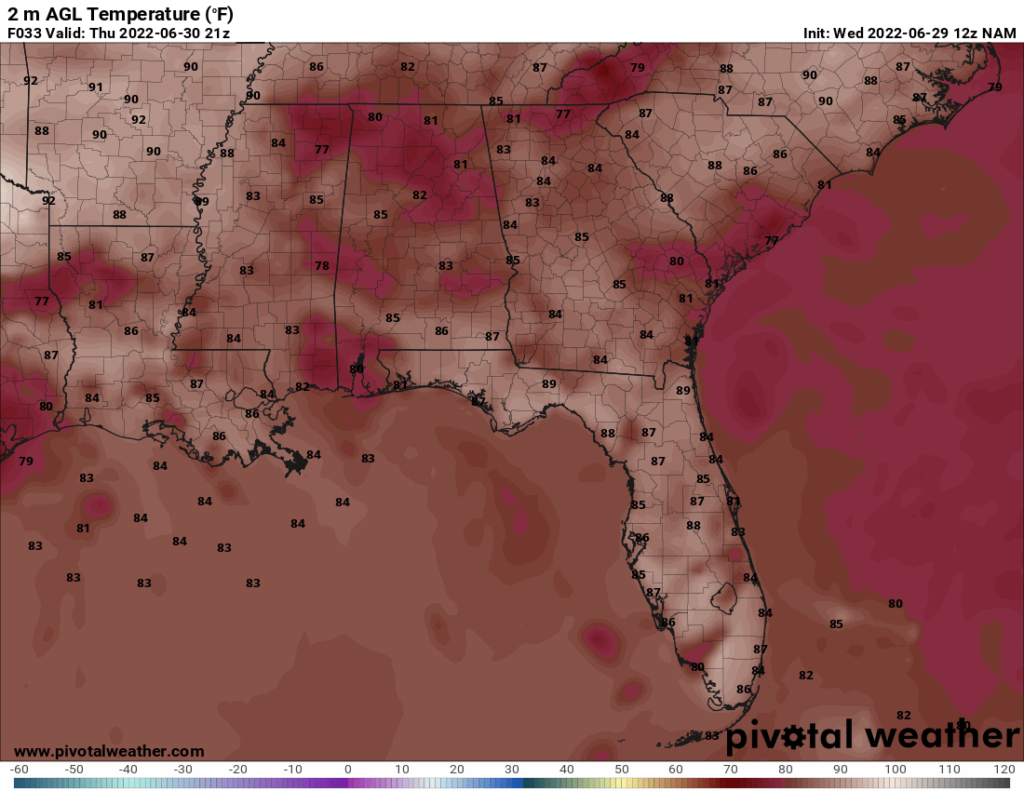
The highs today are likely to stay in the low 80s due to the abundant clouds and precipitation.
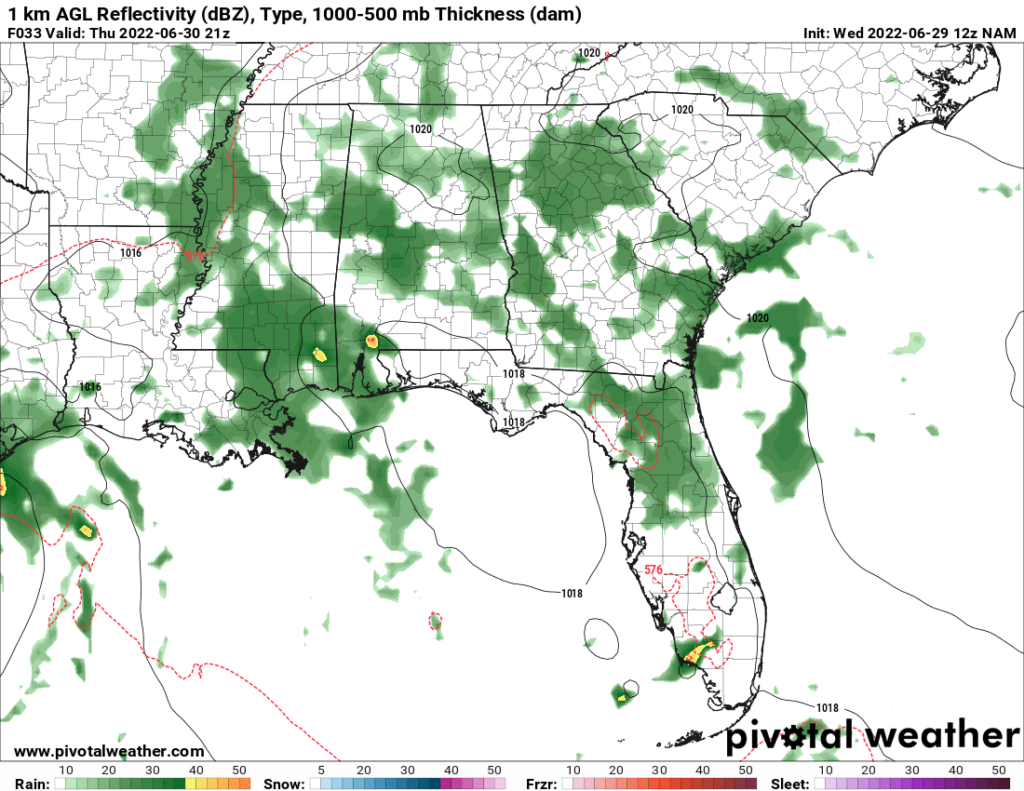
The rain chances are high today throughout the region. This will bring much needed rainfall to the region as well as bring down the temperatures. The chance for rain will persist throughout the rest of the week and through the weekend.
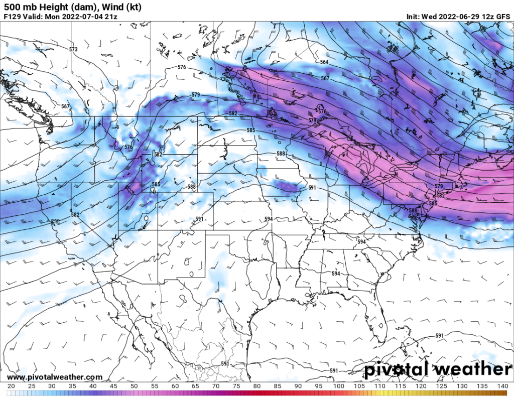
On Monday, a ridge of upper level high pressure is expected to move into the area. This ridging will result in hot temperatures that could reach the mid to upper 90s on the hottest days.
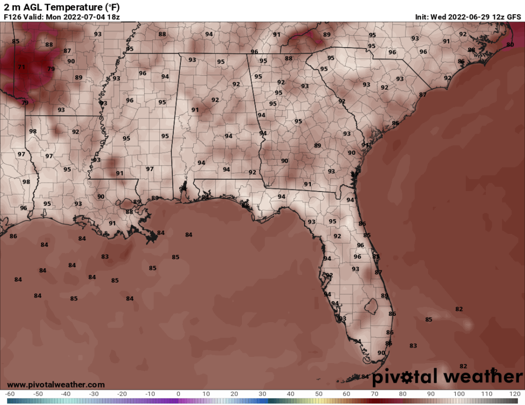
These high temperatures are expected to persist into at least Wednesday. Additionally, the rain chances are low, so there is not much hope for relief during these days.
Day to Day Forecast
Thursday
Mostly cloudy with thunderstorms. Highs in the lower 80s. Winds ESE at 5-10 mph. Chance of rain 80 percent.
Thursday Night
Mostly cloudy with a slight chance of thunderstorms. Lows in the lower 70s. Winds ESE at up to 5 mph. Chance of rain 30 percent.
Friday
Mostly cloudy with thunderstorms. Highs in the upper 80s. Winds light and variable. Chance of rain 70 percent.
Friday Night
Mostly cloudy with a slight chance of thunderstorms. Lows in the lower 70s. Winds light and variable. Chance of rain 30 percent.
Saturday
Partly cloudy with a chance of thunderstorms. Highs in the upper 80s. Heat index in the mid 90s. Winds light and variable. Chance of rain 60 percent.
Saturday Night
Partly cloudy with a chance of thunderstorms. Lows in the low 70s. Winds light and variable. Chance of rain 40 percent.
Sunday
Mostly cloudy with a chance of thunderstorms. Highs in the mid 80s. Winds light and variable. Chance of rain 50 percent.
Sunday Night
Mostly cloudy in the evening becoming clear overnight. Slight chance of thunderstorms. Lows in the lower 70s. Winds light and variable. Chance of rain 30 percent.
Monday
Mostly sunny. Highs in the mid 90s. Heat index a little over 100. Winds light and variable. Chance of rain 10 percent.
Monday Night
Mostly clear. Lows in the mid 70s. Winds SW at up to 5 mph. Chance of rain 10 percent.
Tuesday
Mostly sunny. Highs in the mid 90s. Heat index around 100. Winds light and variable. Chance of rain 10 percent
Tuesday Night
Mostly clear. Lows in the mid 70s. Winds SW at up to 5 mph. Chance of rain 10 percent.
Wednesday
Mostly sunny. Highs in the mid to upper 90s. Heat index around 105. Winds light and variable. Chance of rain 10 percent.
Wednesday Night
Mostly clear. Lows in the mid 70s. Winds SW at up to 5 mph. Chance of rain 10 percent.


