Things will be drying out for the next few days, but don’t expect it to feel like Autumn, saldy. Temperatures will still manage to climb into the mid to upper 80s during the next week and dewpoints will be in the 60s and 70s.
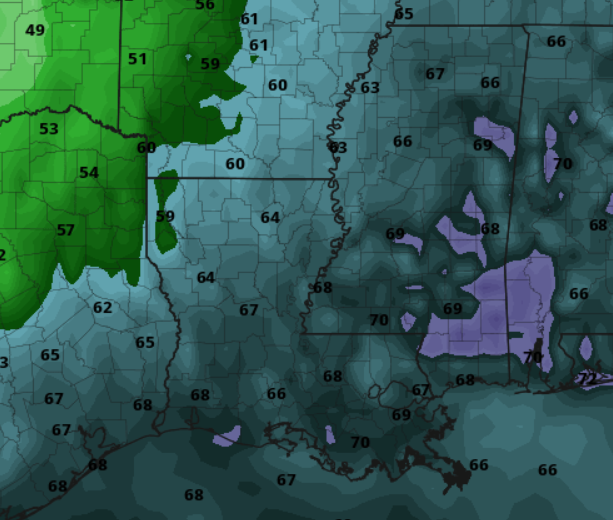


The higher humidity will start this weekend and stick around into next week. This is because a ridge of high pressure will be sliding over the region and give us “return flow” off the Gulf of Mexico.

That means it will still “feel” like late Summer. At least into, through the weekend and into next week.
Today
Areas of fog in the morning turning mostly sunny. Highs in the mid 80s.
Tonight
Patchy fog after midnight. Mostly clear. Lows around 60.
Friday
Patchy fog in the morning. Sunny. Highs in the mid 80s.
Friday Night
Clear. Lows in the lower 60s.
Saturday
Mostly sunny. Highs in the mid 80s.
Saturday Night
Mostly clear. Lows in the mid 60s.
Sunday
Passing clouds, but mostly sunny. Highs in the upper 80s.
Sunday Night
Mostly clear. Lows in the mid 60s.
Columbus Day
Passing clouds but still mostly sunny. Highs in the mid 80s.
Monday Night
Mostly clear. Lows in the upper 60s.
Tuesday
Partly cloudy with a 20-percent chance of showers. Highs in the mid 80s.
Tuesday Night
Mostly clear. Lows in the upper 60s.
Wednesday
Mostly cloudy with a 20-percent chance of showers. Highs in the mid 80s.


