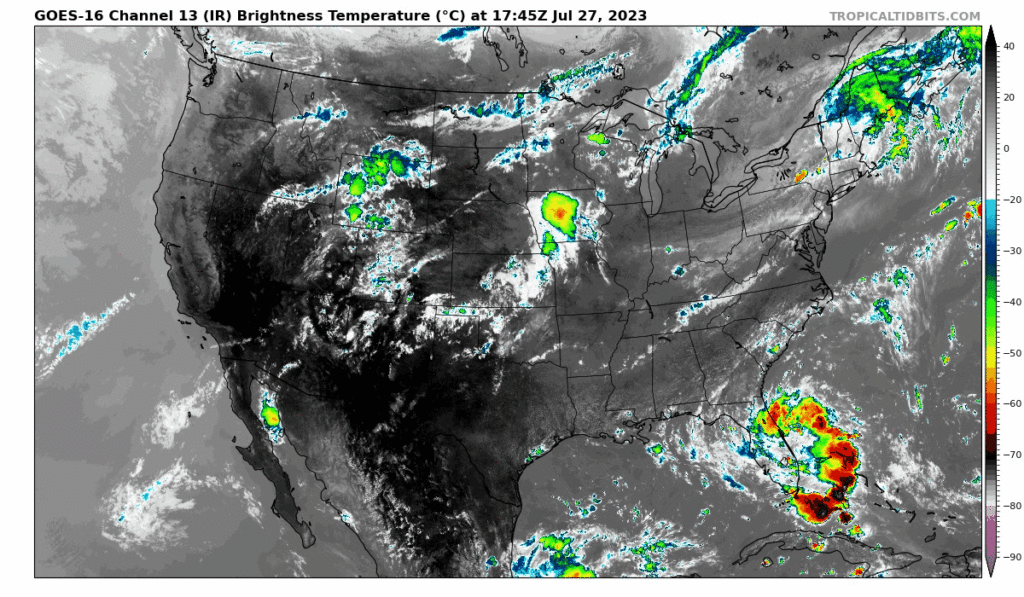
Happy Friday everyone! We will continue to see hot and dry conditions persist throughout the area for most the early foreseeable week. Thunderstorms and rain will also be popping up throughout the weekend but will not be at all very severe, leaving only the heat to really worry about in the meantime.
[wpcode id=”41149″]
Hot and Humid for this Weekend with Pop-up Thunderstorms Possible
We are starting to sound like a broken record here with more extended heat risks all throughout the Southeast and generally all of the Eastern US. As we near the end of possibly the hottest month ever recorded in recent history, there is not any sign of relief in the near future heading into August. Due to the upper-level trough de-amplifying, intense heat has been able to spread all throughout the Eastern half of the US so there is no escaping the heat this week. Sadly, the generally humid conditions here in the Southeast will allow the heat index to push into the 110s.
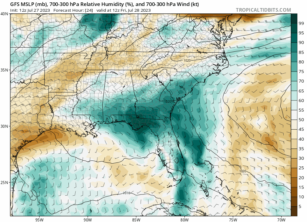
Further south along the coast will still have the highest chance for some isolated storms. With these generally pressure subsiding throughout the region, these storms will generate from the strong daytime convection mixing in the moist Gulf air. Early in the day, these storms will be along the coast and move inland throughout the day as the daytime heating gets stronger. Alabama also has a slightly higher risk of thunderstorms popping up throughout the weekend with more moisture concentrated to the east.

Another interesting feature that we will be seeing this weekend is this inverted trough moving through South Central Texas. This will move into the region from Mexico bringing some slight chances of thunderstorms into Texas. Although this will not affect our area much, the trough overall will help advect a lot of the moisture from the Gulf into our forecast region by creating those low-level southernly winds from the water.
[wpcode id=”41149″]
Extended Outlook

Looking further ahead about two weeks, typical weather should return to normal with the ridge returning back west which will bring back more average temperatures than what we have been experiencing currently. It should be back to regular schedule programming with around average precipitation and still abnormally hot temperatures for this summer.
[wpcode id=”41149″]
Regional Day-To-Day Forecast
Today: Sunny. High temperatures in the upper 90s with Heat Index into the mid 100s. Southeast winds around 5 mph.
Tonight: Partly cloudy. Low temperatures in the upper 70s to low 80s. Southeast winds around 5 mph.
Saturday: Sunny. High temperatures in the upper 90s with Heat Index into the mid 100s. West winds around 5 mph.
Saturday Night: Mostly clear. Low temperatures in the low to mid 70s. Winds southwest around 5 mph.
Sunday: Sunny. High temperatures nearing 100 degrees in most areas. Southwest becoming North winds around 5 mph
Sunday Night: Mostly clear. Low temperatures in the mid 70s. North winds around 5 to 10 mph.
Monday: Sunny and hot. High temperatures reaching into the low 100s. West Southwest winds 5 mph
Monday Night: Mostly clear. Low temperatures in the mid 70s. East winds 5 to 10 mph.
Tuesday: Sunny. High temperatures in the upper 90s to low 100s. West winds around 5 to 10 mph.
Tuesday Night: Mostly clear. Low temperatures in the upper 70s to low 80s. South winds around 5 to 10 mph.
Wednesday: Sunny. High temperatures in the upper 90s to low 100s. Southwest winds around 5 to 10 mph.


