As you wake up today, prepare for heat indices to peak at or below 100F! This morning started off with air temperatures in the mid-70s and dewpoint temperatures in the low-70s, making you feel as though the day will be hot. However, afternoon and evening rain is in the forecast; combined with cloud coverage, these factors will keep the heat indices in-between 95F-to-100F with air temperatures hovering around 90F. Compared to the last couple of weeks, this is a welcomed change.


The heat indices will peak earlier in the day at around 1pm-to-2pm before cloud coverage increases. Showers will enter the region in the mid-afternoon and persist through the early nighttime. While the rain will not be widespread, these storms will cool down the region and provide heavy, localized rainfall totals from 0.1″-to-0.25″.
Today will be an example of the pattern for the next several days, where heat indices will peak between 95F-to-100F and afternoon rain showers will dump locally heavy rainfall totals. Slowly, the region will warm back up with heat indices beyond 100F as Independence Day approaches.

Be sure to enjoy the near normal temperatures this week before high temperatures begin to increase next week. Additionally, as you attempt to enjoy the afternoon, keep in mind: when thunder roars go indoors! There will be many afternoon showers, some producing locally heavy rain and lightning. As a result, stay weather aware by keeping in touch with your local weather service.

Also, as always with this time of year, keep an eye on the tropics. For more information about the tropics, visit that part of our website by clicking here and going to the outlook and latest tabs. Posts with more specific information will also be made here.
Day-to-Day Forecast
Tuesday
Partly cloudy skies with a 60-percent chance of an afternoon or evening thunderstorm. High temperatures near 90F are likely with heat indices approaching 100F; overnight lows in the low-70s are expected.
Wednesday
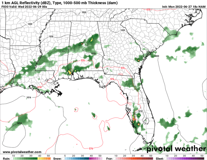
Partly cloudy skies with a 70-percent chance of an afternoon or evening thunderstorm. High temperatures near 90F are likely with heat indices approaching 100F; overnight lows in the low-70s are expected.
Thursday
Partly cloudy skies with a 70-percent chance of an afternoon or evening thunderstorm. High temperatures near 90F are likely with heat indices approaching 100F; overnight lows in the low-70s are expected.
Friday
Partly cloudy skies with a 70-percent chance of an afternoon or evening thunderstorm. High temperatures near 90F are likely with heat indices approaching 100F; overnight lows in the low-70s are expected.
Saturday
Mostly sunny skies with a 60-percent chance of an afternoon or evening thunderstorm. High temperatures near 90F are likely with heat indices approaching 100F; overnight lows in the low-70s are expected.
Sunday
Mostly sunny skies with a 50-percent chance of an afternoon or evening thunderstorm. High temperatures near 90F are likely with heat indices around 100F-to-105F; overnight lows in the mid-70s are expected.
Independence Day
Partly cloudy skies with a 40-percent chance of an evening or overnight thunderstorm. High temperatures in the low-90s are likely with heat indices between 100F-to-105F; overnight lows in the mid-70s are expected.


