Multiple rounds of showers and thunderstorms will continue to impact most of the Gulf Coast states and the southeast, while summertime heat continues to grip the south-central United States in the coming days. Along with daily chances of showers and storms, the potential for organized tropical development does exist off the coast of Georgia.

Rounds of showers and thunderstorms continue to soak most of the southeast, as the tropical airmass responsible sits across much of the southeast US. This airmass will be pretty unmoving as the ridge of high pressure keeping it at bay continues to persist over the week and into the weekend. With high PW (Precipitable Water) values up near or above 2 inches, these showers and thunderstorms will be very efficient producers of heavy rainfall.

Further off to the west, high temperatures will continue to hang around the region. Temperatures through this week into the weekend may regularly reach the mid to upper 90s, or possibly even the low 100s, for those along and east of I-35 all the way to the Mississippi River. Heat indices may well clear the century mark to upwards of 105°.

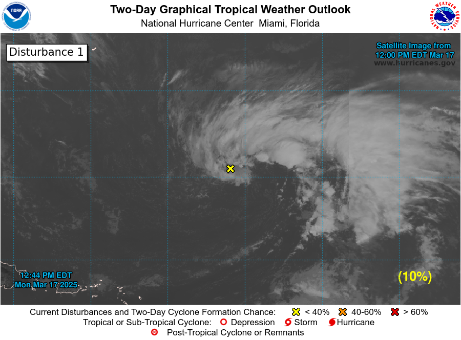
Another development that will be needing to be watched is the potential for tropical development off the coast of South Carolina. As off 11:17pm, the National Hurricane Center is giving this area of interest a 40% chance of developing into a tropical depression or storm through the next 5 days. This area of interest is slated to move along the coast of South and North Carolina over this coming week. Regardless, if it attains tropical depression or storm status, heavy rains and potential flooding will be possible as this area of low pressure moves north.
| Dallas, TX | ||
| Saturday | Sunday | Monday |
| High: 97°F | High: 98°F | High: 101°F |
| Low: 79°F | Low: 80°F | Low: 80°F |
| Precip: 20% | Precip: 20% | Precip: None |
| Houston, TX | ||
| Saturday | Sunday | Monday |
| High: 92°F | High: 93°F | High: 93°F |
| Low: 78°F | Low: 78°F | Low: 78°F |
| Precip: 30% | Precip: 20% | Precip: None |
| New Orleans, LA | ||
| Saturday | Sunday | Monday |
| High: 89°F | High: 90°F | High: 90°F |
| Low: 79°F | Low: 79°F | Low: 79°F |
| Precip: 70% | Precip: 60% | Precip: 40% |
| Little Rock, AR | ||
| Saturday | Sunday | Monday |
| High: 91°F | High: 89°F | High: 95°F |
| Low: 74°F | Low: 75°F | Low: 77°F |
| Precip: 40% | Precip: 30% | Precip: 20% |
| Memphis, TN | ||
| Saturday | Sunday | Monday |
| High: 93°F | High: 92°F | High: 94°F |
| Low: 76°F | Low: 76°F | Low: 78°F |
| Precip: 40% | Precip: 50% | Precip: 40% |
| Birmingham, AL | ||
| Saturday | Sunday | Monday |
| High: 91°F | High: 90°F | High: 90°F |
| Low: 73°F | Low: 73°F | Low: 74°F |
| Precip: 50% | Precip: 60% | Precip: 40% |
| Atlanta, GA | ||
| Saturday | Sunday | Monday |
| High: 89°F | High: 89°F | High: 90°F |
| Low: 72°F | Low: 73°F | Low: 74°F |
| Precip: 60% | Precip: 50% | Precip: 50% |

