In the absence of potent trough ejections, high-end severe weather setups, and tropical development, we have a big blocking high over the southwestern US that has been the main show as of late. This has not come without its own forms of weather, with most notable being the soaring of temperatures across the central US. Along with this, some isolated severe weather may be possible across portions of the northern US and Midwest region, with a couple disturbances expected to move through over the course of the next week. In the desert southwest, monsoon season continues to shower the region with daily chances of showers and thunderstorms. These showers and thunderstorms will have the potential for localized flooding as some locations may receive multiple rounds of rain over the span of a couple hours.
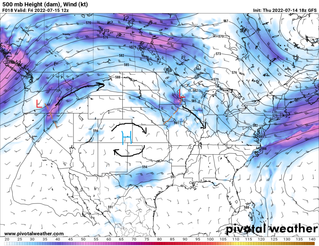
The most notable feature that one can identify over the US is this upper-level ridge sitting over the southwestern and south central US. This region of high pressure has, and will continue to, help temperatures soar across the Great Plains. Temperatures look to reach triple digits anywhere from central and southern Texas up to southern Nebraska.
Within this region, areas approaching 105°F to 110°F are possible for places in northern Texas, Oklahoma, and Kansas. Adding to this, fire weather will begin to be a concern due to the high heat and lack of moisture. These conditions will also cause drought conditions currently gripping the region to worsen over the next week.

Further north, isolated severe thunderstorms are possible across portions of Montana and the western Great Lakes region today. Tomorrow, this area will shift eastward into the Dakotas. A shortwave trough will move through Montana today and will help be a trigger for storms there. The main hazards with any storms that do form will be areas of damaging wind gusts as well as marginally severe hail. Further east, another shortwave trough diving southeast will help foster thunderstorm development in the morning and afternoon for Minnesota, Wisconsin, Illinois, and Iowa. A cold front advancing southward will interact with a relatively unstable airmass and help produce showers and thunderstorms. locally damaging wind gusts and hail will be the main threats.
Later into the week, an upper-level low will advance eastward around the north side of the ridge of high pressure through the northern US and will eventually dive southeastward across the Midwest. Severe weather may be possible on a day-by-day basis as this trough moves through, but warm air aloft will help cap the environment, leaving most storms, if any that do form, isolated in nature.
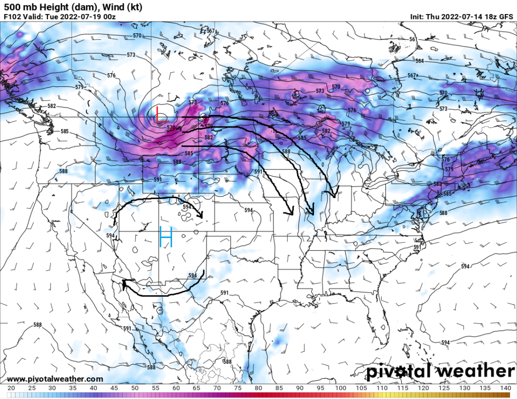
Out in the Four Corners region of the US, daily chances of showers and thunderstorms will continue to inundate the area. These storms will present a flood hazard to any area that sees the entraining of multiple thunderstorms, as the region has received greater than average rainfall over the past several weeks. We can expect these showers and thunderstorms to continue through the next week, as the overall monsoonal pattern that has been present for the last several weeks continues to hang around for the foreseeable future.


