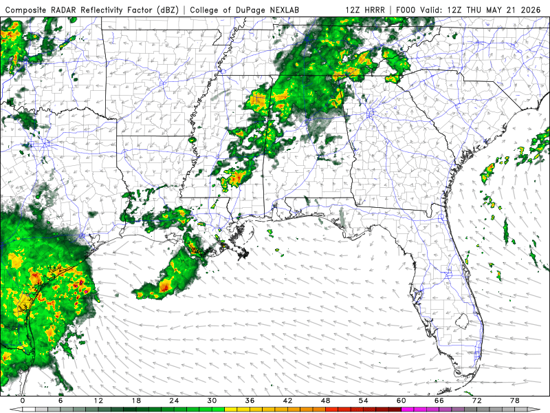
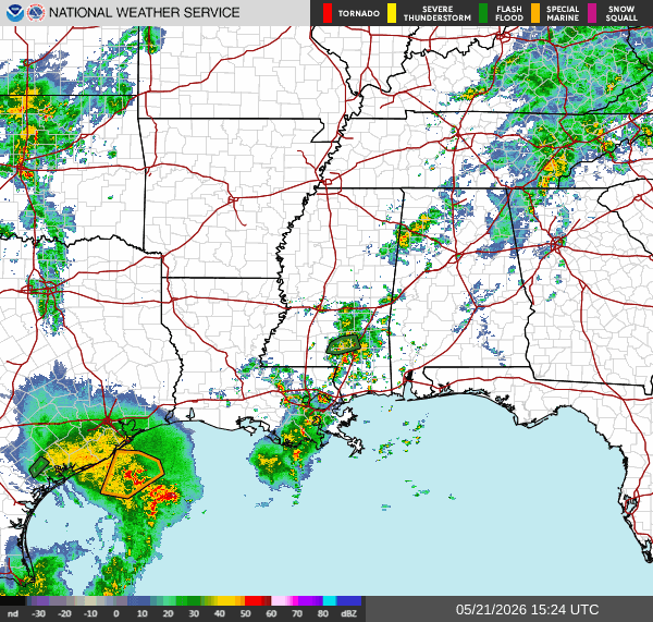
Our current conditions are scattered thunderstorms in Southeastern LA, South MS, and Northwest AL. We have a flash flood warning Northwest of Hattiesburg, MS. Looks like Southwest of LA, there will be general thunderstorms rolling in around the late afternoon into the nighttime hours and early morning.
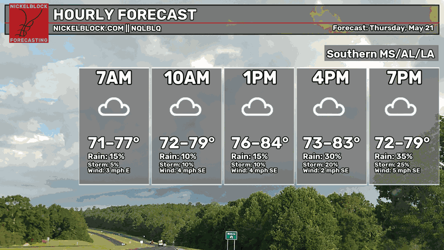
Temperatures will reach the mid-80s with relatively calm winds in most of the area.
Tonight
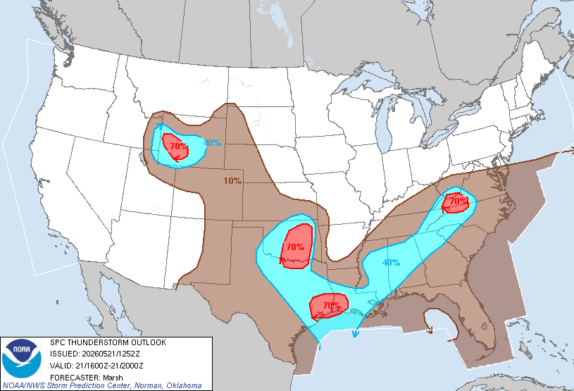
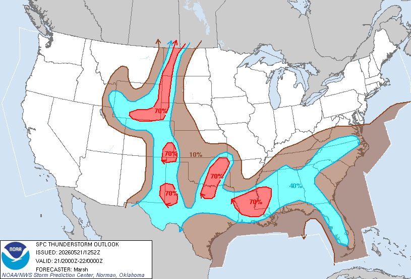
The SPC has the Southern region above 40% for the rest of today into tomorrow morning. Make sure as you go about your day, you have your raincoat and umbrella with you.
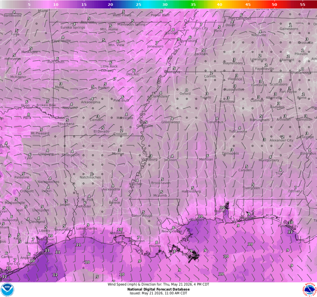
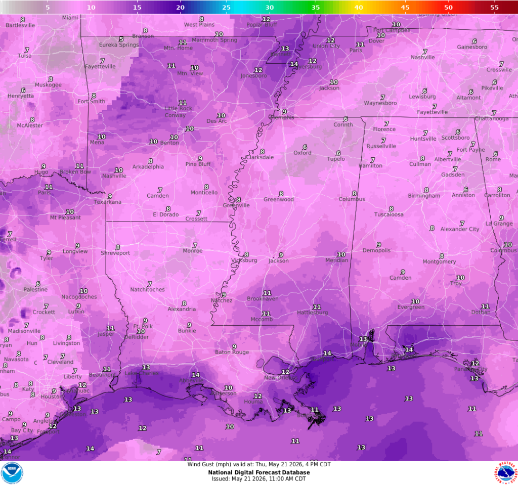
Winds will be coming from the south-southwest 5-10mph with gusts up to 15mph.
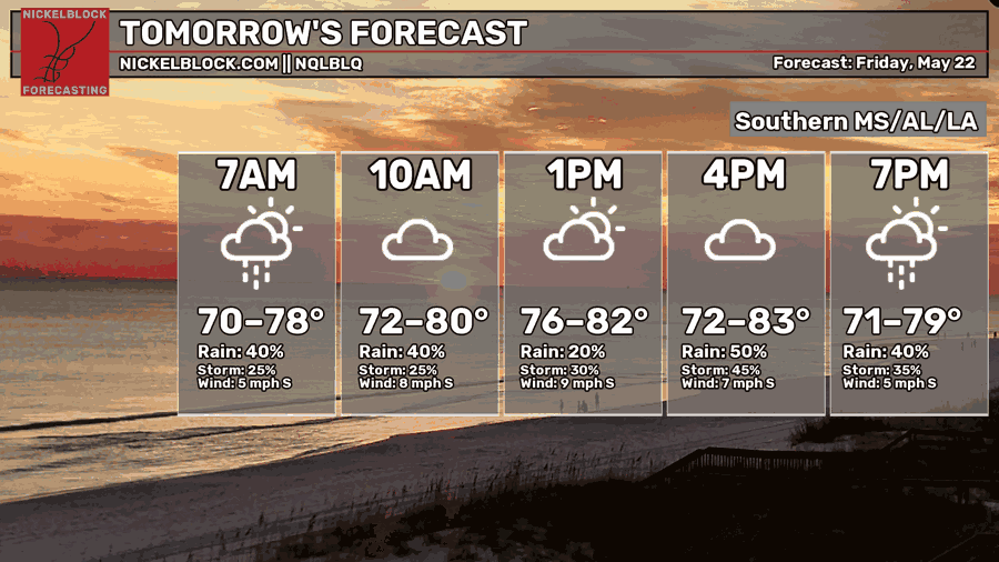
Tomorrow
Temperatures will reach the lower to mid-80s. We’re looking at a pretty rainy Friday with most of our region seeing rain or scattered thunderstorms throughout the day.
Rest of the Week
It will be a pretty rainy and stormy rest of the week. Over the next two days or so, most of our region will experience rain and possible scattered thunderstorms. Winds will be prevailing from the south-southwest and interacting with that lingering front, which is fuel for rainy and stormy weather.