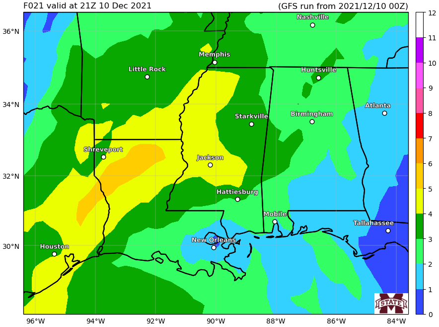
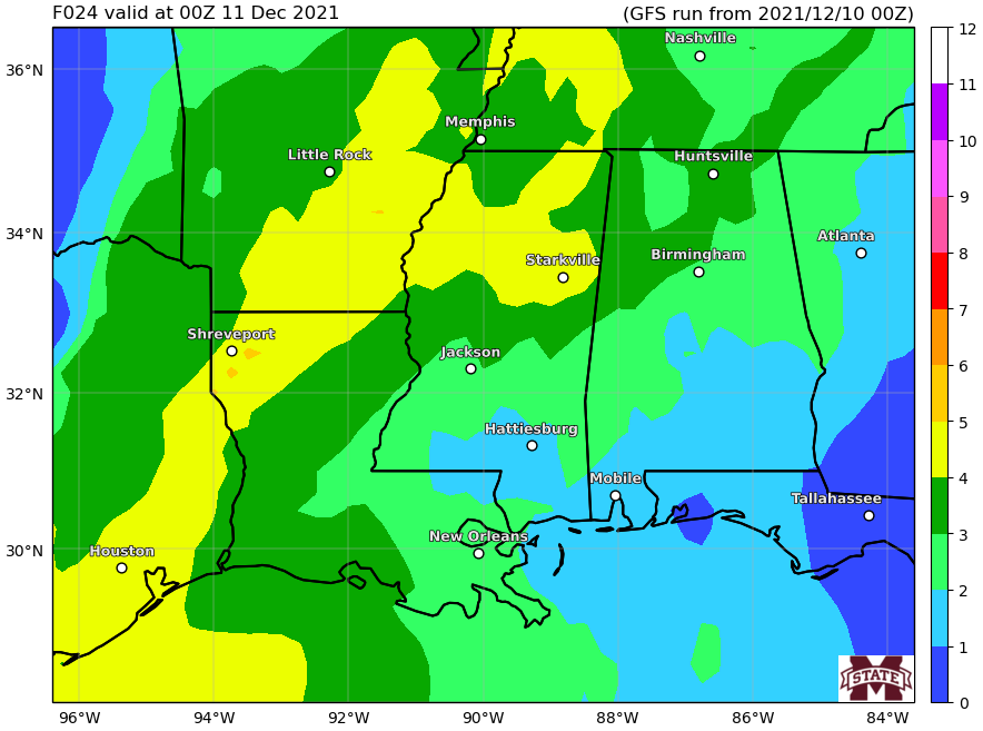
Showers and storms still look to be on=deck overnight tonight. I’ll have a full breakdown of the severe weather threat out a bit later today. This morning I’ve been a bit busy with a bunch of other weather riff-raff at my “regular job.”
I ran the Karrie Meter this morning and it is still underwhelmed about this event for the region during the day today.


But that may change overnight tonight and into and through tomorrow morning. That is something I will check out a bit later today.
Once we get through this front, things are looking a lot nicer – and a bit breezy – as we move through Sunday and into next week.
Day to Day Forecast
Today
Patchy fog in the morning. Chance of showers and slight chance of drizzle in the morning, then a slight chance of showers and thunderstorms in the afternoon. Cloudy. Highs in the upper 70s. South winds 5 to 10 mph increasing to 10 to 15 mph in the afternoon. Gusts up to 25 mph in the afternoon. The chance of rain 30 percent.
Tonight
A 20 percent chance of showers and thunderstorms after midnight. Cloudy. Temperatures nearly steady around 70. South winds 10 to 15 mph.
Saturday
Showers and thunderstorms. Mostly cloudy. Highs in the mid 70s. Southwest winds 10 to 15 mph becoming northwest in the afternoon. The chance of rain near 100 percent.
Saturday Night
Mostly cloudy with a 30 percent chance of light rain in the evening, then partly cloudy after midnight. Much cooler. Lows in the lower 40s. North winds 5 to 10 mph.
Sunday
Sunny, cooler. Highs in the lower 60s. Northeast winds 5 to 10 mph.
Sunday Night
Mostly clear. Lows in the lower 40s.
Monday
Sunny. Highs in the upper 60s.
Monday Night
Mostly clear. Lows in the upper 40s.
Tuesday
Mostly sunny. Highs in the lower 70s.
Tuesday Night
Partly cloudy. Lows in the lower 50s.
Wednesday
Mostly sunny. Highs in the mid 70s.
Wednesday Night
Partly cloudy. Lows in the mid 50s.ThursdayPartly cloudy. Highs in the mid 70s.

