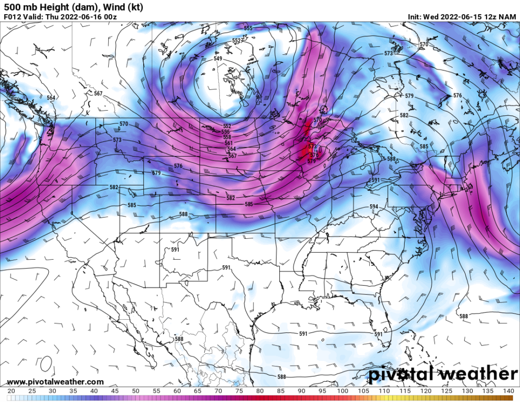
The string of hot days continues with high temperatures and humid conditions being present over the next week. The high-pressure system responsible does not look to budge and give us any long-term relief anytime soon. However, chances for showers and thunderstorms will be present over the next week in the evening and overnight hours.
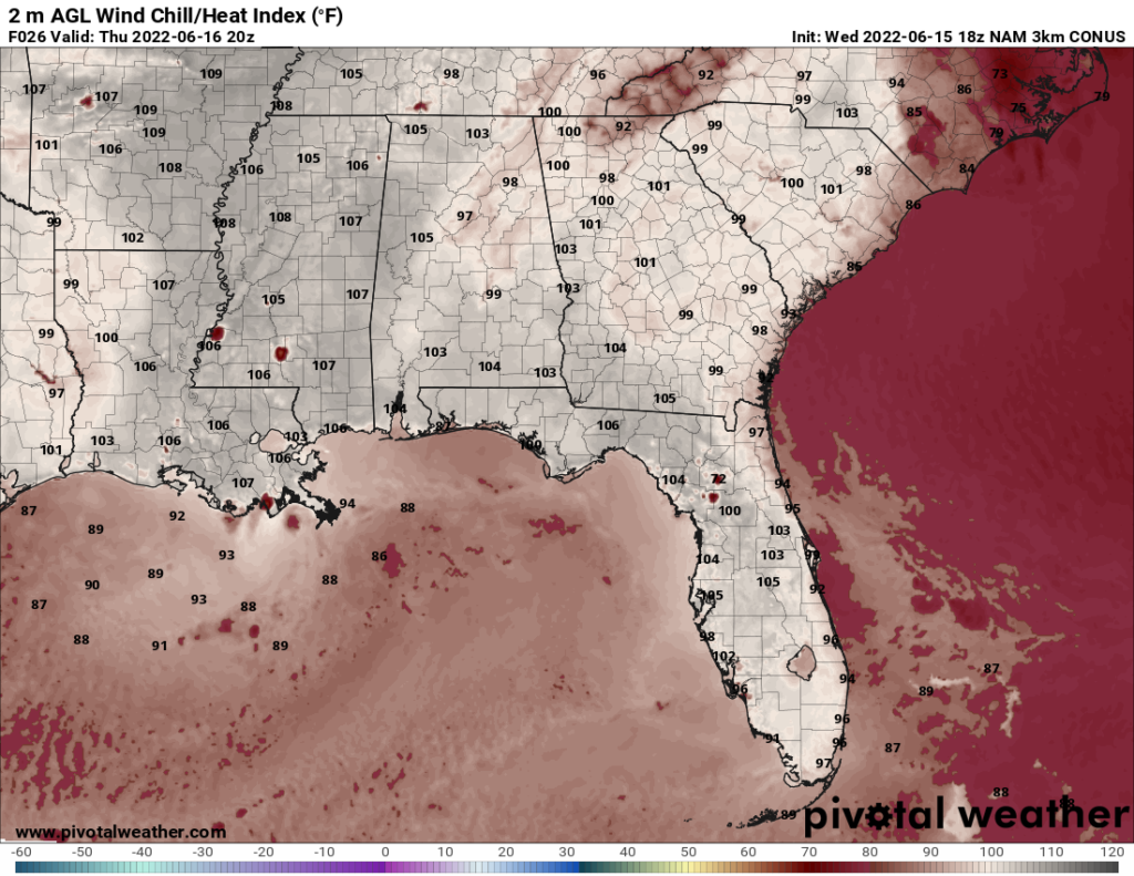
Very moist air will continue to overspread the area, which in conjunction with the heat will make for very hot and sticky weather. Heat indices will range between 100F to 110F through to next week.
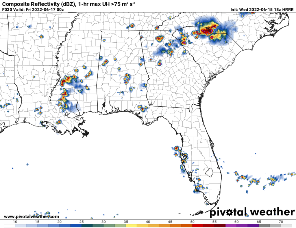
Beginning tomorrow, we do see chances of rain in the evening from systems coming in from the north as well as possible development along the coast for Thursday and Friday.
Day to Day Forecast
Thursday
Partly cloudy skies. High temperatures in the mid 90s with heat indices reaching 100F. Low temperatures in the mid 70s. Scattered showers and thunderstorms possible in the evening and overnight. Chance of rain 50-percent.
Friday
Partly cloudy skies. High temperatures in the upper 90s with heat indices reaching 105F. Low temperatures in the mid 70s. Scattered thunderstorms possible in the evening. Chance of rain 50-percent.
Saturday
Partly cloudy skies. High temperatures in the upper 90s with heat indices reaching 105F. Low temperatures in the upper 60s. Showers possible in the evening. Chance of precipitation 30-percent.
Sunday
Sunny skies. High temperatures in the mid 90s. Low temperatures in the low 70s.
Monday
Partly cloudy skies. High temperatures in the upper 90s. Low temperatures in the low 70s.
Tuesday
Partly cloudy skies. High temperatures in the upper 90s. Low temperatures in the mid 70s.
Wednesday
Sunny skies. high temperatures in the upper 90s. Low temperatures in the mid 70s.


