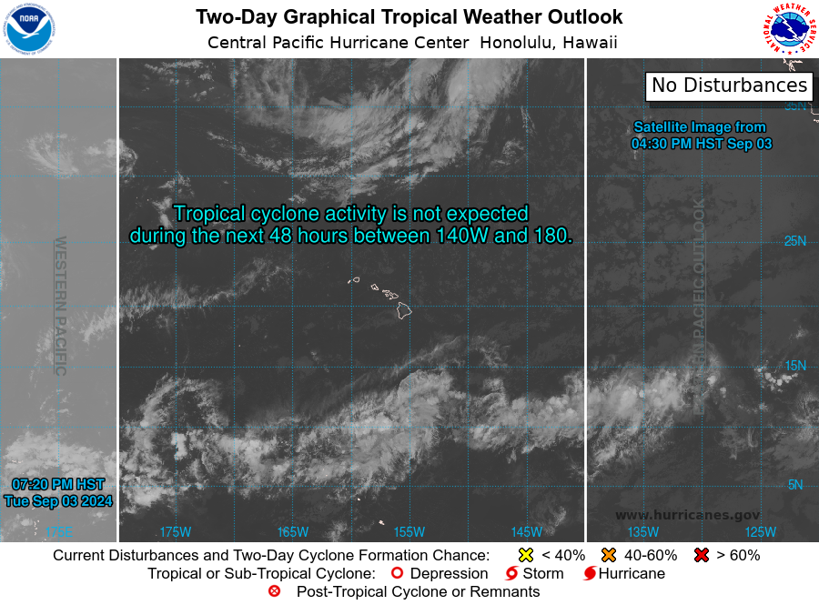
The Atlantic Basin has been spicing up over the weekend as we are continuing to track the development of Tropical Storm Bret with another disturbance trailing behind. Meanwhile, the Pacific keeps calm as minimal activity is expected for the rest of the week.
Atlantic Basin

A tropical wave off East Africa has sparked significant area of convection over the Central Tropical Atlantic that has slowly been organizing over the past several days. This has led to the formation of two developing systems, one of which has already reached the status of tropical storm.


This storm, along with the trailing disturbance, is heading almost directly west at roughly 15 mph and expected the Lesser Antilles Islands by Thursday night. There are some environmental conditions that are favorable for further development of this storm. However, there is a strong agreement among the long-range models that Tropical Storm Bret will not strengthen beyond a Category 1 hurricane. This will cause little trouble for the US but will definitely disrupt any travel plans for vacationers this week. Although this is looking to be a rather weak storm, it will bring strong winds, heavy rain, and the possibility of flooding and storm surge to the Caribbean.
The trailing disturbance behind TS Bret is looking at 50% chance of developing into a Tropical Depression over the next 48 hours. However, the environment will remain generally unfavorable for any strong development as strong wind shear North of the disturbance will prevent further strengthening. A large swath of dry air sitting to the North will also prevent any strong development of either of these systems.
Pacific Basin

Outside of the Atlantic, the Pacific Basin is looking uneventful for the June season with little activity expected over the next several days. The Eastern Pacific is looking much the same will high shear and low moisture dominating the tropical Eastern Pacific.
Extended Outlook
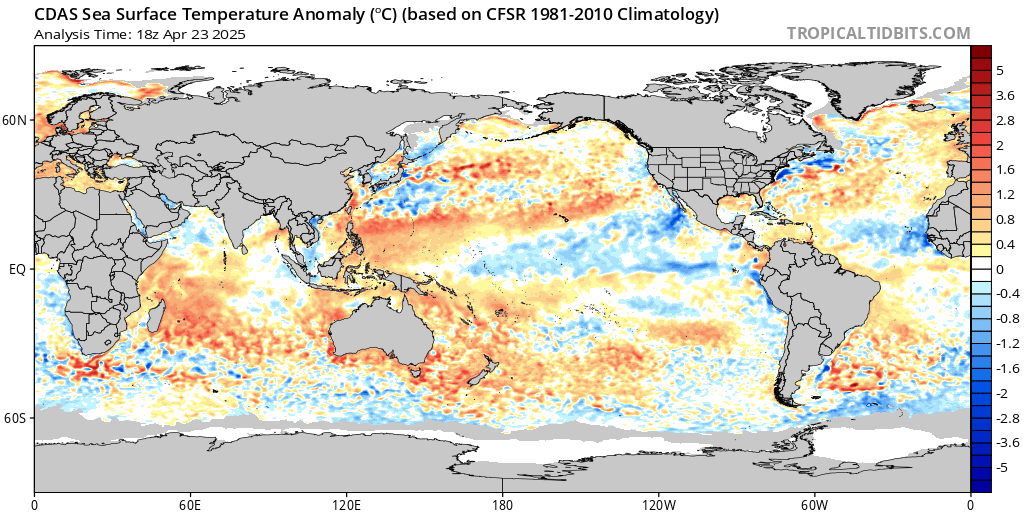
While it may seem that the Atlantic will be brewing many storms this season, it is still early into the hurricane season as the Eastern Pacific continues to warm up. As El Nino continues to strengthen, we could start to see greater activity in the Pacific as greater wind shear and trade winds develop in the Atlantic. But as of now, the Central Atlantic Basin remains a favorable environment for tropical development. The Pacific has no cyclone activity expected within the next couple days.
June and early July tends to be relatively inactive to later in the season from August to September so this early activity in the Atlantic could be an omen to the rest of the season. As sea-surface temperatures continue to rise, so will the possible intensity of storms. So as a reminder, always be prepared for the threat of hurricanes, especially if you live in high risk areas such as the coastal Southeast US.

Conclusions
The US will remain unaffected by the tropics for the coming week as conditions remain calm in the Pacific and Gulf with little potential development. Tropical Storm Bret will continue to propagate westward towards the Lesser Antilles Island over the week with a disturbance of little worry trailing behind.

