Pretty typical summertime weather pattern we have in place over the next week for the contiguous US, with high pressure in the west and low pressure to the east. What this will help translate into is rising temperatures in the west, rain chances in the Plains (with the potential for severe thunderstorms also), and a fairly consistent pattern of heat and storms in the Southeast. Let’s go more in depth below and break this all down!
High Pressure Builds in the Southwest
Did someone say heat? Cause we got plenty of that on tap in the Desert Southwest over the next 7 days. A region of high pressure will continue to sit over Arizona and New Mexico and keep on building the scorching heat in the region. Temperatures in southwest Arizona and southeast California especially will have no difficulty regularly clearing the century mark and encroaching on the 110°-115°F mark as well. Heat safety precautions should be taken when outdoors for even short periods of time in order to reduce heat-related illnesses. Stay well hydrated, get in the shade, and take plenty of breaks to avoid the heat.
Wet and Stormy in the Plains States
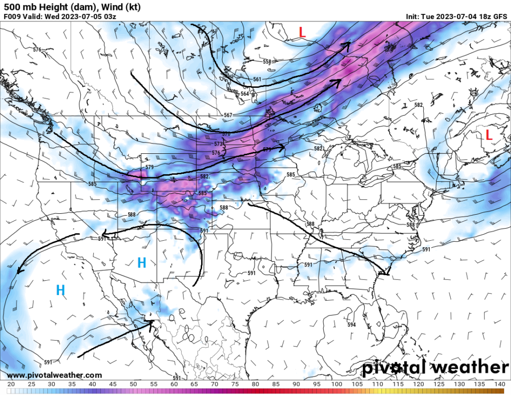
Bringing much needed rainfall over the next few days, the central US will see the potential for round after round of showers and thunderstorms, with the potential for some to be severe over the next couple of days. An advancing cold front coming through the central and southern Plains will provide the primary source of lift for these storms, and ample west-northwesterly flow aloft will help keep these storms sustained and organized. Today, the primary risk areas will affect those from as far west as Colorado and New Mexico, to as far east as Illinois. Primary risk across these areas will include damaging winds and large hail, as a multicell storm mode will be largely favored.
Tomorrow, attention will shift further west from western portions of Kansas and Oklahoma, all the way up to South Dakota and Montana. Remnants of the cold front will be draped across the area will help to kick things off as the air becomes more unstable through the afternoon and early evening hours. Wind profiles will support supercell thunderstorms initially capable of all hazards, before taking on a more multicell identity and be capable largely of large hail and damaging winds. Due to the amount of instability present and the upper-level support, it would not be shocking to see the severe threat continue well after dark.
Seasonal in the Southeast
Overall, typical summertime conditions will be in play for much of the southeast US, especially those nearer to the Gulf of Mexico. Temperatures will range from the upper 80s to upper 90s throughout the days, with dew point temperatures averaging in the mid 70s. This will help keep around that tropical feeling to the air and move heat indices up to the low 100s. Scattered showers and thunderstorms are virtually possible every day for the next week or so, particularly as you get closer to the Gulf. Placement of these storms will vary widely from day-to-day, as local mesoscale factors will dictate storm location.
Extended Outlook
Overall, this air pattern should remain fairly consistent through the next 7 days. High pressure will continue to hover over the southwest and keep temperatures up, west-northwesterly flow aloft will help to maintain rain chances and potentially severe weather for the central US, and general upper-air patterns over the southeast US will keep the seasonal weather in play without much change in the way of temperatures or rainfall potential at this time.
Travel Impacts
Potential travel impacts would largely be in the Plains where thunderstorms (some severe) could bring hazardous road conditions and flight delays or cancellations over the next week. Outside of showers and thunderstorms in the eastern half of the country, travel conditions should be quite pleasant across the United States. Make sure the AC works in your vehicle, especially if you travel through the southern and western parts of the country where temperatures will be quite hot and toasty.
Conclusion
Bit of a shorter forecast this time, with much of the country experiencing the same conditions in the short-term as well as the long-term. A dome of high pressure over portions of the southwestern US will keep temperatures around or exceeding 100°F over the course of the week, showers and thunderstorms in the Plains fueled by westerly flow and moist, unstable air will remain a possibility through the near future, and the southeast should experience familiar summertime conditions for this time of the year.


