The Atlantic remains quiet for the time being and isn’t expected to increase in activity until later this month/early August. On the other hand, the East Pacific has been active with a more favorable environment for tropical activity.

Friendly reminder that the peak of hurricane season is yet to come, with an upslope of activity usually occurring in August. In addition to this climatological uptick, some conditions favorable to tropical activity and development are forecasted to arrive late this month/early August, but for now, let’s look at what’s keeping the Atlantic relatively uneventful.

There are multiple tropical waves traveling westward across the Atlantic and Main Development Region (MDR) as we speak, but tropical development and thunderstorm activity remains minimal. Dry and dusty air from the Sahara Desert has made its way over the Atlantic, which combined with the strong wind shear has made it difficult for the tropical waves to develop into anything more significant.

A large weather feature known as a Tropical Upper Tropospheric Trough (TUTT) is creating detrimental wind shear over a large portion of the ocean. This shear isn’t expected to diminish anytime soon either: this TUTT is forecasted to move into the Gulf of Mexico while another TUTT moves over the Atlantic over the next 7 days.

Looking at the relative humidity between 700mb and 300mb, it is notably dry across the Atlantic to keep tropical development at a minimum thanks to the Saharan Air Layer (SAL). The Atlantic and MDR are expected to stay mostly dry over the next 7 days; however, the Gulf of Mexico may experience an increase in tropical moisture during the middle of next week.
The East Pacific has been a different story, as moist air and sufficiently low-enough shear has allowed Hurricane Bonnie to continue its trek westward, and a new area of investigation has been announced. Bonnie is currently encountering drier air and stronger shear as it moves westward and is expected to weaken to a tropical storm sometime today if it hasn’t already. The storm has created strong swells causing dangerous surf and rip currents for parts of the coast of SW Mexico.
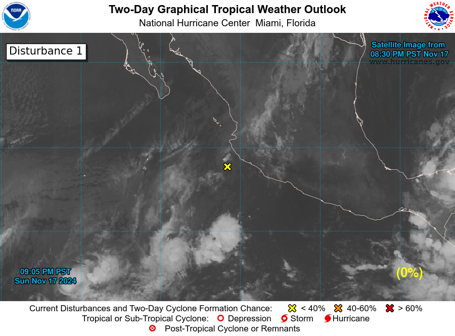
In my last tropical update I highlighted an area of disorganized thunderstorms near Panama which has since moved into the EPAC just south of Mexico. There is a 30-percent chance of cyclone development within the next 48 hours and a 70-percent chance within the next 5 days as the storm traverses warm ocean waters in a moist environment. This system will be monitored in the coming days for further development, but I suspect it will face the same fate as Bonnie: develop into a hurricane as it moves westward away from land, eventually being dismantled by dry air and wind shear.


