The weather pattern during the next 10 to 12 days will look more like June than April. The temperatures and humidity, though, may feel more like October. It is a weird setup for this time of year.
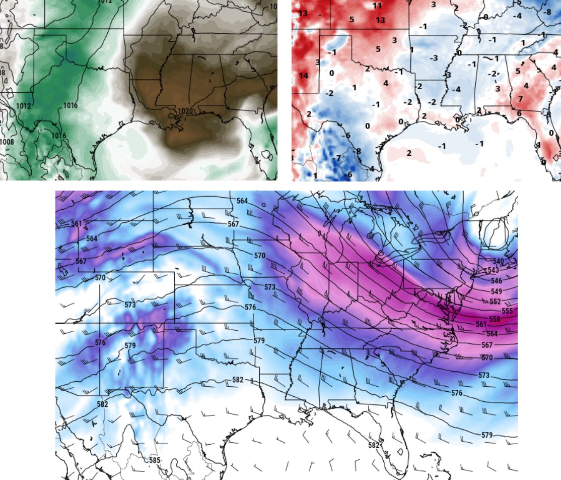
The above images show that drier air is going to settle across the area this week (through Thursday night) while temperatures will be running near or below-average. At the same time, the region will be under a NW flow aloft.
All of those things together spell a good stretch of weather for the next next three or four days. And into the weekend, the other thing that changes is a return flow from the Gulf and some increased humidity.
Otherwise, things are looking good through the next seven days.
On top of that, I have some – sort of – good news:
Severe Weather Season is basically over.
That doesn’t mean there won’t be any Severe Thunderstorm Warnings or Tornado Warnings again until October. But what it does mean is that the every four to either day threat for storms is ending and we and slowly transitioning to dealing with decaying MCS clusters that move our way from Oklahoma or Tennessee as well as the every day afternoon storms.
The decaying MCS threats are usually heavy rain and gusty wind overnight. Afternoon storms are usually, well, in the afternoon (big surprise, I know)!
Generally, that means a lower tornado threat (especially stronger tornadoes), a lower ‘big hail’ threat, and a lower wind gusts in excess of 70mph threat.
Instead, we now are more likely to storms that are less organized. That means brief flash flooding, downbursts with brief very heavy rain and brief wind gusts up to 50mph, and pea-sized hail. Can we still have tornadoes? Yes. Are they the big ones? Generally, no. We can still see EF-0, EF-1 and the occasional EF-2, but generally the atmosphere is moving away from being able to develop and sustain storms capable of producing tornadoes that are stronger.
As we move into May and June, we shift into the ‘between season’ as I call it where we can’t get the big gnarly severe storms and we aren’t quite worried about big hurricanes yet, either.
So take a breath and enjoy the weather in the coming days!
Day to Day Forecast
Today
Mostly cloudy. Highs in the mid 70s.
Tonight
Mostly clear. Lows around 55.
Wednesday
Sunny. Highs in the upper 70s.
Wednesday Night
Clear. Lows around 50.
Thursday
Sunny. Highs in the lower 80s.
Thursday Night
Partly cloudy. Lows in the mid 50s.
Friday
Mostly sunny. Highs in the mid 80s.
Friday Night
Mostly clear. Lows in the lower 60s.
Saturday
Mostly sunny. Can’t rule out an afternoon storm. Highs in the upper 80s. Chance for rain around 10-percent.
Saturday Night
Partly cloudy. Lows in the mid 60s.
Sunday
Mostly sunny with another you-can’t-rule-it-out chance for a storm. Highs in the upper 80s. Chance for rain around 10-percent
Sunday Night
Partly cloudy. Lows in the mid 60s.
Monday
Partly sunny with a slightly better shot for a storm. Highs in the mid 80s. Chance of rain 20-percent.


