Dry and cold start to first week of New Year: CONUS Monday-Thursday forecast: 12/31/2023

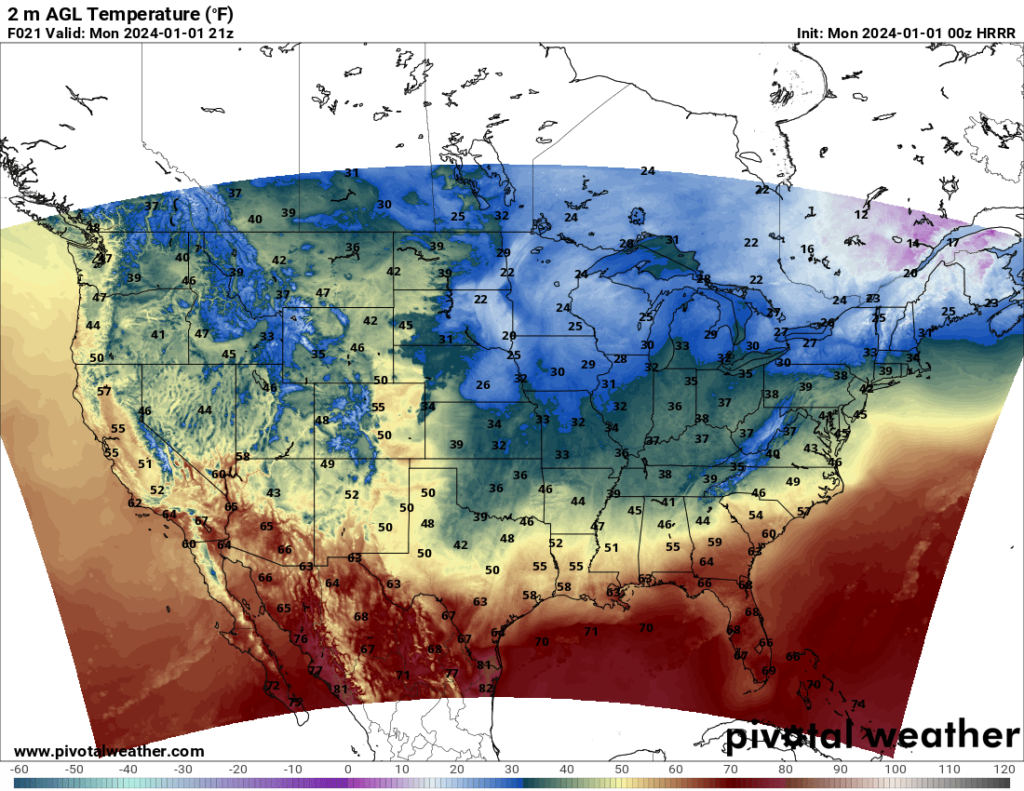
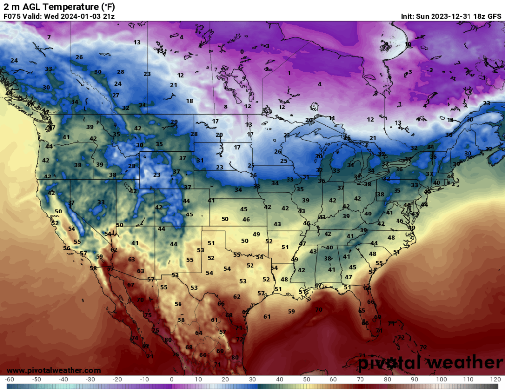
Heading into the next week, and the New Year, it will definitely feel like winter. Highs in the 40s, 30s, and 20s can be expected for much of the country, depending on where you’re located. The northern Plains and Midwest will see the coldest temperatures.

Temperature estimate 3 PM CST Monday according to HRRR model // Courtesy: Pivotal Weather
Temperature estimate 3 PM CST Wednesday according to GFS model // Courtesy: Pivotal Weather

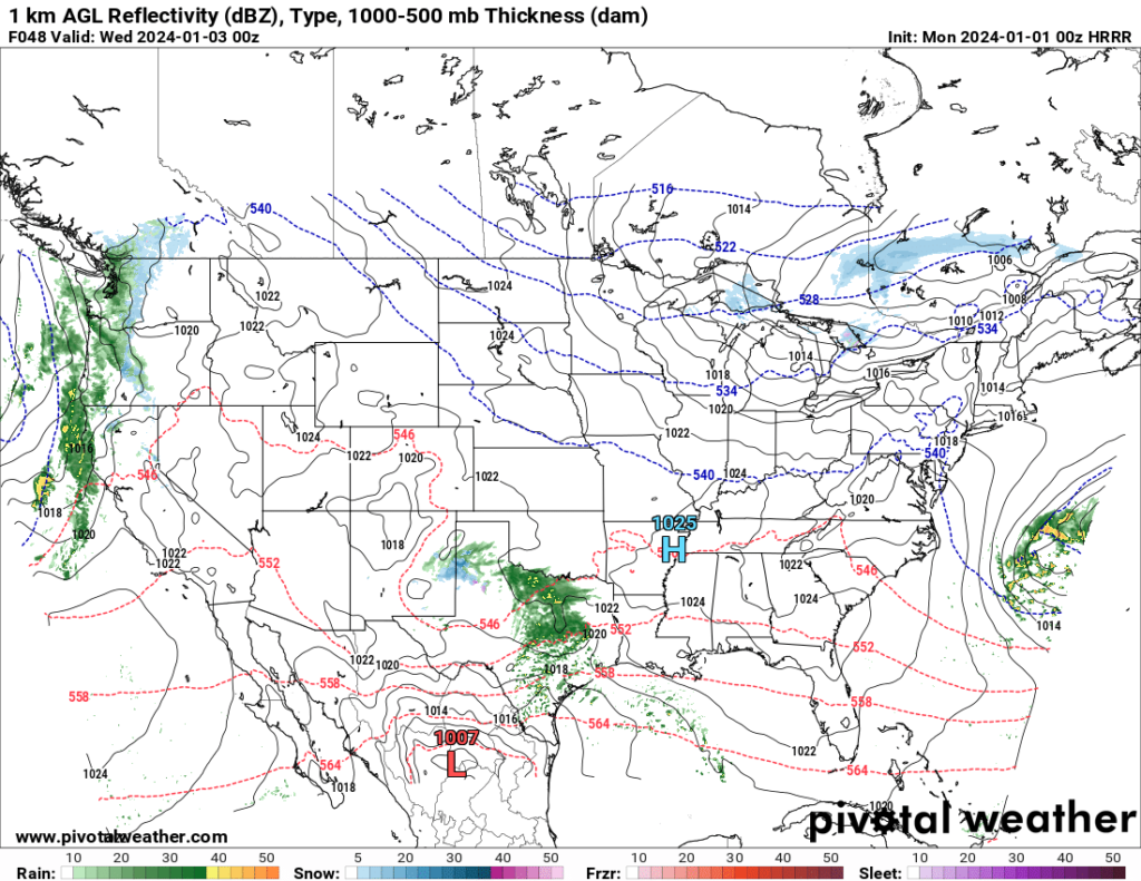
Most of the country will remain dry for the first part of the week. Rain can be expected in parts of the South Tuesday and Wednesday, and some states in the West should see rain between Tuesday night and Thursday, but otherwise, dry conditions can be expected around the country.

Radar reflectivity estimate 6 PM CST Tuesday according to HRRR model // Courtesy: Pivotal Weather


Author of the article:


Patrick Kulynych

I am a recent graduate from the University of Alabama in Huntsville with a Bachelor's Degree in atmospheric science. My focus is on forecasting, especially for severe weather events. It is my dream to one day live out in the Great Plains, where I can not only forecast as a career but also go out and chase storms as a hobby!