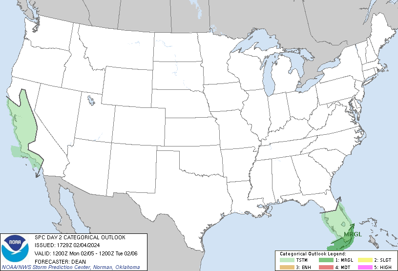
Not much interesting activity, weather-wise, is expected for the first half of the week. With the exception of some showers and thunderstorms in the Southeast on Monday (particularly Florida), the eastern half of the US should be dry for a few days. The SPC has a Marginal Risk tomorrow for the southernmost part of Florida, with the risk being an isolated wind or hail threat, but other than that, severe weather is not anticipated.
The western states may see a fair amount of precipitation, including the Southwest and Rocky Mountain states. Precipitation will be in the form of both rain and snow, depending on elevation. This precipitation is largely the result of the system that brought the drenching rain to California today.
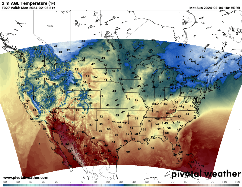
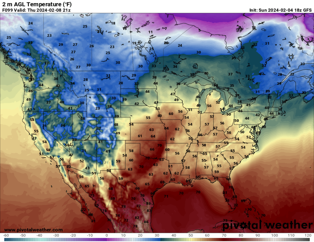
In terms of temperature, nothing too unusual is expected for this forecast period. Temperatures across many CONUS states will be close to average for this time of year.