For those that haven’t melted away yet, find a beach to visit today as that will be the best way you can cool off this weekend. With rain chances remaining minimal and a heat advisory in effect from 10:00 am to 7:00 pm CDT, coastal communities will see heat indices reach 108F-to-113F in the afternoon and evening.


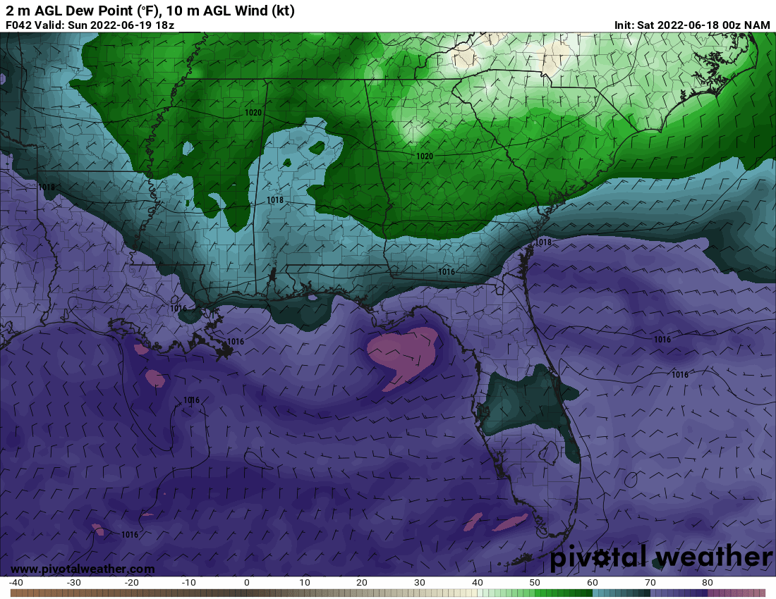
Now for hope! Though today will be blisteringly hot, tomorrow’s heat indices will recede to 100F. This reduction shows a pattern change as winds shift to northeasterly, bringing in air temperatures around 90F-to-95F. Additionally, dewpoint temperatures will fall by 10 degrees to a less tropical 65F. While still warm and muggy, these conditions will provide a mild relief through the beginning of next week.
While coastal MS/LA/AL will be partially reprieved from the brutal southeastern heatwave, temperatures are still expected to run approximately 5F above normal. According to the Climate Prediction Center, a persistent eastern high pressure system will continue to dominate, creating a southerly wind flow that brings in warmth and moisture from the Gulf of Mexico. As a result, there is a 70-to-80-percent chance of above average temperatures in the region through June 27th. The ridge is generally expected to influence the south-central US in the month of July, leading to a 50-to-60-percent chance of abnormal warmth for the Northern Gulf Coast.


Stay cool and continue to follow local guidelines about taking breaks when working in the heat and humidity. Also, click here to read the symptoms of heat-related illnesses.
Day-to-Day Forecast
Saturday
Hot and mostly sunny skies with a 20-percent chance of an evening or overnight shower. High temperatures in the mid-to-upper 90s are likely with heat indices approaching 110F; overnight lows in the mid-70s are expected.
Sunday
Hot and sunny skies with no rain expected. High temperatures in the mid-to-upper 90s are likely with heat indices around 100F; overnight lows in the mid-70s are expected.
Monday
Sunny skies with no rain expected. High temperatures in the low-to-mid 90s are likely with heat indices around 100F; overnight lows in the mid-70s are expected.
Tuesday
Sunny skies with no rain expected. High temperatures in the low-to-mid 90s are likely with heat indices around 100F; overnight lows in the mid-70s are expected.
Wednesday
Hot and sunny skies with no rain expected. High temperatures in the mid-to-upper 90s are likely with heat indices approaching 110F; overnight lows in the mid-to-upper 70s are expected.
Thursday
Hot and sunny skies with no rain expected. High temperatures in the mid-to-upper 90s are likely with heat indices approaching 110F; overnight lows in the upper 70s are expected.
Friday
Hot and sunny skies with with a 20-percent chance of an evening or overnight shower. High temperatures in the mid-to-upper 90s are likely with heat indices approaching 110F; overnight lows in the upper 70s are expected.


One thought on “Heat advisory in effect and heat to persist, according to Climate Prediction Center’s monthly outlook: Coastal MS/LA/AL Weather Forecast – 6/18/22”
Comments are closed.