In case you missed here, here is a look at the Summer Outlook as well as an update on Hurricane Season: 2022 Summer Outlook & Hurricane Season Update
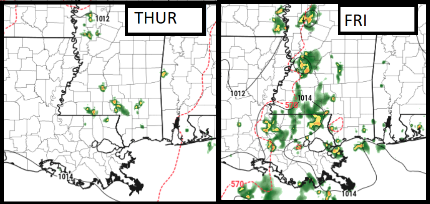
There will be a chance for showers and storms today and tomorrow with the Storm Prediction Center highlighting the region with the potential for severe weather. The main concern will be brief heavy rain, lightning, gusty wind and small hail from the strongest of storms.
Otherwise, just regular Gulf Coast summertime-style storms are most likely.

Model guidance isn’t very “sold” on the potential for storms today. Though it does show a better chance for storm coverage tomorrow than today. One important thing to note is that storms will be moving from north to south. So if you look out on the northern or northeastern horizon and see a storm and think, “that’s alright, it is probably moving away from us” because usually that is the case… this time it will not be.
Neither day offers a threat for tornadoes, really. It will take a very specific circumstance to pull a tornado out of the clouds. nstead, rain and wind are the main concerns. Both days.
Then Saturday morning, there may be a larger cluster of storms that dives south from Arkansas and Tennessee to offer a chance for some rainfall. This couldn’t be as robust, but would be a bit breezy and pretty rainy. For the moment, though, it is unclear exactly where that cluster of storms will track.
Day to Day Forecast
Today
Mostly sunny. A chance storms. Highs in the lower 90s. Chance of rain 50-percent.
Tonight
Mostly cloudy with a few rogue storms possible. Lows in the mid 60s. Chance for rain around 20-percent
Friday
Mostly sunny with a 40-percent chance for storms. Highs around 90.
Friday Night
Mostly cloudy with a few storms possible. Lows in the mid 60s. Chance for rain around 20-percent
Saturday
Mostly sunny with a 60-percent chance for storms. Highs in the mid 80s. Some storms may be strong with brief heavy rain, lightning, gusty wind and small hail.
Saturday Night
Partly cloudy. A slight chance of showers and thunderstorms in the evening. Lows in the lower 60s. Chance of rain 30-percent.
Sunday
Mostly sunny with a 30-percent chance for storms. Highs in the upper 80s.
Sunday Night
Partly cloudy. Lows in the mid 60s.
Monday
Mostly sunny. Highs in the lower 90s.
Monday Night
Partly cloudy. Lows in the mid 60s.
Tuesday
Sunny. Highs in the mid 90s.
Tuesday Night
Mostly clear. Lows in the mid 60s.
Wednesday
Sunny. Highs in the mid 90s.


