While I’ve already made a quick video about this summer and the outlook for Hurricane Season, I wanted to follow that up with a real, actual post. Because while I did discuss a few things, I didn’t really get into the nitty-gritty details.

… Not that Gritty.
The details that went into the forecast for this summer and why I think the Gulf may be a bit more ‘open’ to tropical systems this summer. And why it may not be.
A quick note
Summer Outlook: Hot and humid. With occasional thunderstorms.
That would be something you might read in the Farmer Almanac. And while I know some folks swear by that thing for one reason or another, weather forecasting is not something I would rely on it for at all. Their “Secret Sauce” isn’t skill, it is vaguery (if that is even a word).
Head over to the Ole Farmer’s Almanac and it showed, “May 1-9: Sunny; cool, then warm”
You could say, “Well Nick, it was Sunny most days. Cool in the morning and warm in the afternoon… so it was right!”
But, c’mon. That’s like forecasting the sun rising. If you’re wrong about that one, we have problems.
I won’t hate too much on the Farmer’s Almanac. But I will point to their forecast for last Winter. Here was the winter outlook from last year:
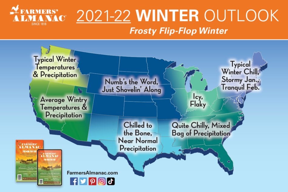
None of those give any kind of actual idea about what winter will bring. And they were wrong for a vast majority of the country.
Here is a look at how it actually shook out:


And you guys know me. I’ll be the first one to tell you when I fail and where in a forecast I have low confidence. I’ll even tell you when I flatly don’t know.
And I fail to have any confidence in their forecasts and I flatly don’t know why anyone would take it seriously. Sure, its fun to look at and giggle about how warm or cold it might be for a season baed on their super secret forecast machine. But they leave a lot to the imagination.
How did my Winter Outlook do? Not perfect, by any means. But I called for warmer and slightly drier. And the area was warmer and drier.

I also outlined a handful of anomalous events…
- This year will likely feature at least two snow events south of I-20 for the region. One of those will be in December
- There will be at least one freezing rain event south of I-20. One will be in January
- Despite February warmth, there will be a stretch of below-average temperatures
- Sub-freezing overnight lows will occur at least once down to the Gulf Coast
- There will be at least a dozen Slight Risk days from the SPC across the region between Nov 1st and March 31st
- Late season cold possible in the Carolinas & Georgia, but less likely west
- HAPPENED
- HAPPENED
- HAPPENED
- HAPPENED
- HAPPENED
I might not offer a completely accurate forecast. But at least I tell you more than just “mild and muggy” while also explaining how I got there and why I feel that way.
Summer Outlook
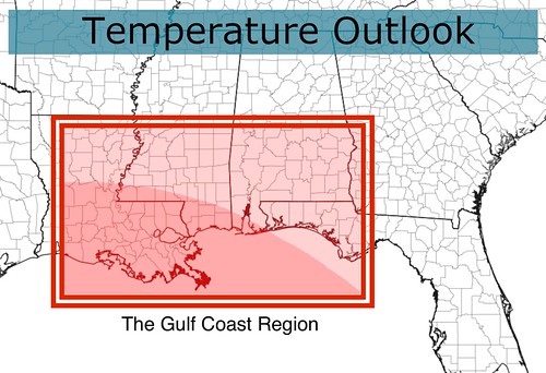
I want to share the forecast from the Climate Prediction Center first. They are calling for a warmer and wetter summer for parts of the central Gulf Coast.


This official forecast takes into account the potential La Nina this summer as well as the developing drought in the Plains and other climatological factors. Here is a snippet of their seasonal discussion:
For the summer seasons (JJA through JAS), the combined signals from dynamical model guidance, soil moisture, ENSO composites, and trend favor above normal temperatures for almost the entire CONUS as well as much of northern and eastern Mainland Alaska. The strongest warm signals remain over much of the Interior West and the Northeast, where dynamical models , trend, and ENSO composites are all in good agreement. Confidence is reduced over the east-central CONUS as a cool soil moisture signal dampens the tilt toward above normal temperatures depicted by dynamical model guidance. A slight tilt toward warmth is indicated for northern and eastern Alaska due primarily to trend and ENSO composites.
The CPC is a great resource. But I disagree slightly on the localized outlook. For my outlook I broke down the normal summertime parameters I tend to follow: ENSO, Sea Surface Temps in the Gulf and Caribbean, The 500mb anomalies, and the meridional wind (how much north-south wind in the region). Based on analogous winters, and projecting forward through the summer, I took a look at the standard deviation and built a ‘fence’ around the numbers for 2022 and found years similar.
Those analogous years were 1997, 1999, 2001, 2005, 2006, 2009, 2011, 2012, 2017, 2018, 2019, and 2020. This is actually a pretty healthy set. Looking at those years, you get these maps:


But since these are simply analogs, I tend to think things will be a bit warmer and a bit drier givent he current developing drought across Texas and the Plains. I also think that belnding the CPC outlook for higher rainfall is worthwhile here.
So an outlook for temps and precip are as follows:


Hurricane Season
This will be a quick look at the outlook for Hurricane Season. For a few reasons. Topping the list is that I can only add punctuation, so to speak, to the outlook from Colorado State and the upcoming outlook from NOAA. I am not a tropical meteorologist. I am not a guy with a Ph.D in this stuff. Just extrapolating the local outlook to make some extra points about what Hurricane Season may offer given some of the data I showed above.
And that data suggests that the Gulf of Mexico may be just as active as recent years.
The lingering La Nina will allow for a more active tropical season, very generally speaking. If you layer the analogs I pulled above on top of that, you get maps that show an opening from the Caribbean into the Gulf.

Breaking that out into the anomalies, that shows low heights across the east coast.

What does that mean? It means that ‘home cooking’ is more likely to be a problem during hurricane season as opposed to a bunch of hurricanes tracking from the coast of Africa all the way across the Atlantic as behemoth storms. I’m certain that will happen at least once, but the more pressing concern would be storms developing in the NW Caribbean and Gulf.
Looking at the most analogous years (the top 5), you get a map that shows many tropical systems that passed through the central/northern Gulf. But only two that traversed the Atlantic as named systems to get there. Both Major Hurricanes. One was Harvey in 2017 the other was Isaac in 2012.

A wider look at every year, and of the 40 named systems in the Gulf across all of those years, only six were named storms in the Atlantic.

So this is going to be a year where we have to watch things closer to home rather than way out in the Atlantic.


Thanks for your outlook on the upcoming weather and hurricanes. Weather is a science that can use history and modern technology to make predictions. The problem comes in with an unexpected anomaly. Sometimes a high or low does not perform like it is supposed to and will move the storms around. I consider your time in Hattiesburg about 99% accurate. Thanks for your concern for our area.
I miss your input. You did a great job!