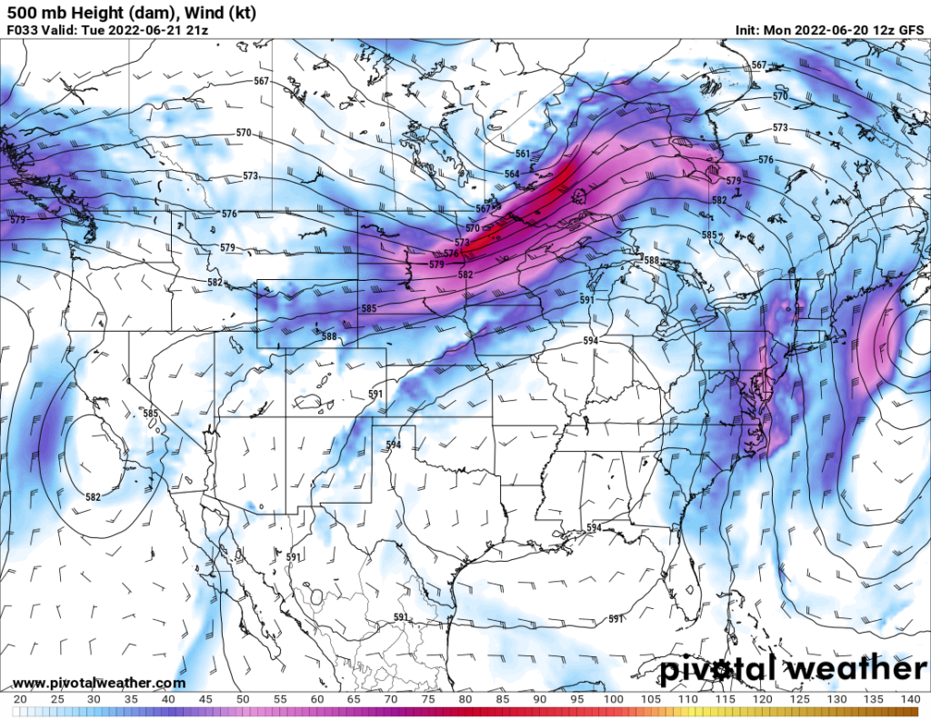
The heat and humidity continues to make itself across the southeastern United States, as a dome of high pressure continues to sit over the region. Further out west, monsoon season looks to get underway across the desert states with several days possible of showers and thunderstorms. Northward in the Great Lakes region and northeast US, an ejecting trough continues to make its way through southern Canada, bringing opportunities for showers and thunderstorms to the area.
Southeast US
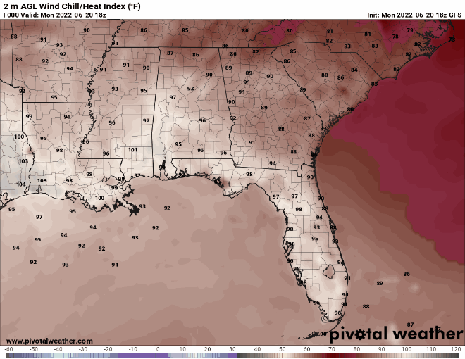
The area of high pressure responsible for the high heat across the area continues to stick around and remind us of its presence. Southerly flow coming off the Gulf of Mexico continues to bring in very moist air, with widespread dew points in the 60s and 70s across the entire area. These factors will help to cause heat indices to regularly reach the 90s and 100s, as well as the chance for some pop-up showers and thunderstorms. This pattern looks to hold throughout the week and into the weekend.
Beginning this weekend into early next week, the dome of high pressure looks to advance westward, allowing more northwesterly flow aloft to enter the picture and possibly bring opportunities for showers and thunderstorms.
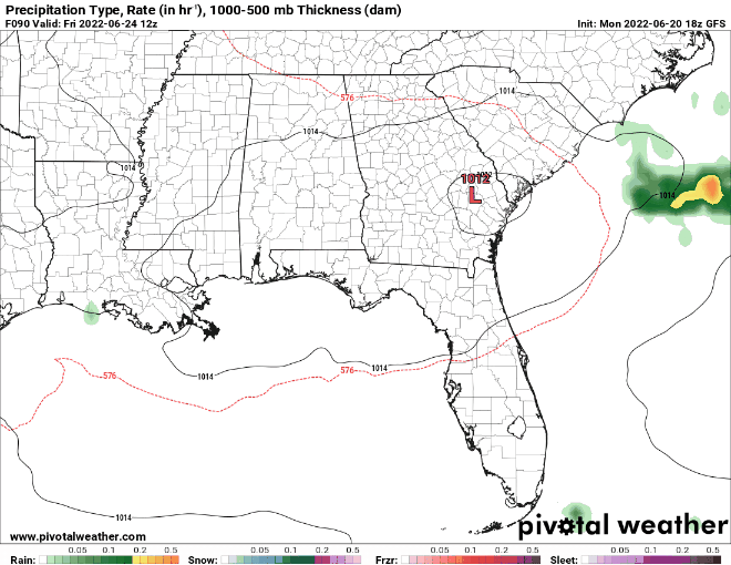
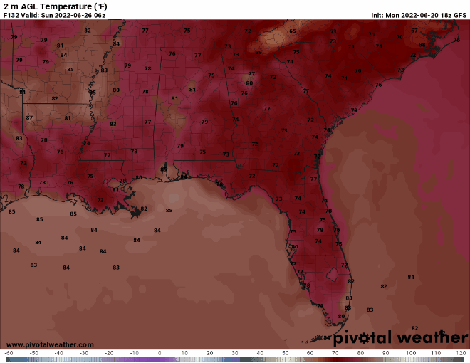
Current guidance has multiple cold fronts coming in from the north and moving through the region by early next week, bringing possible showers and thunderstorms, as well as a noticeable change in temperature down to the upper 80s and lower 90s.
Southwest US
The monsoon rains have started arriving over the desert southwest. Moisture originating from the Gulf of Mexico and the Gulf of California is being funneled between a high-pressure system off in the southeastern US as well as an upper-level low off the coast of California. This coupled with substantial cooling with height and ample moisture aloft will allow for multiple days of showers and thunderstorms across the area.
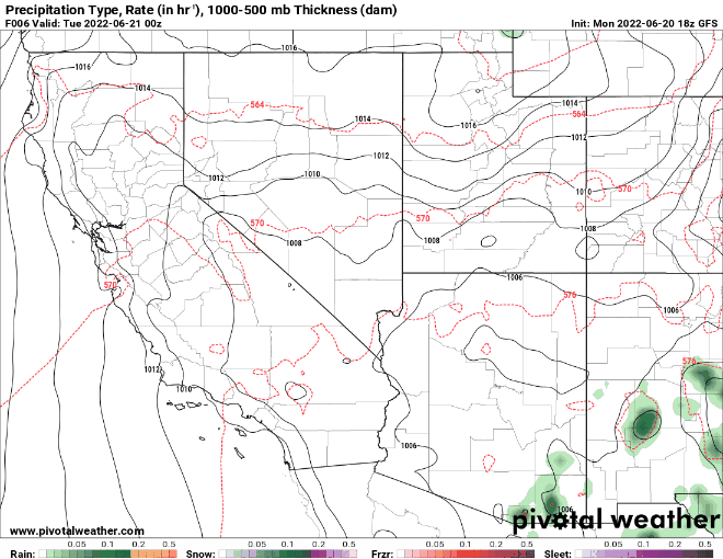
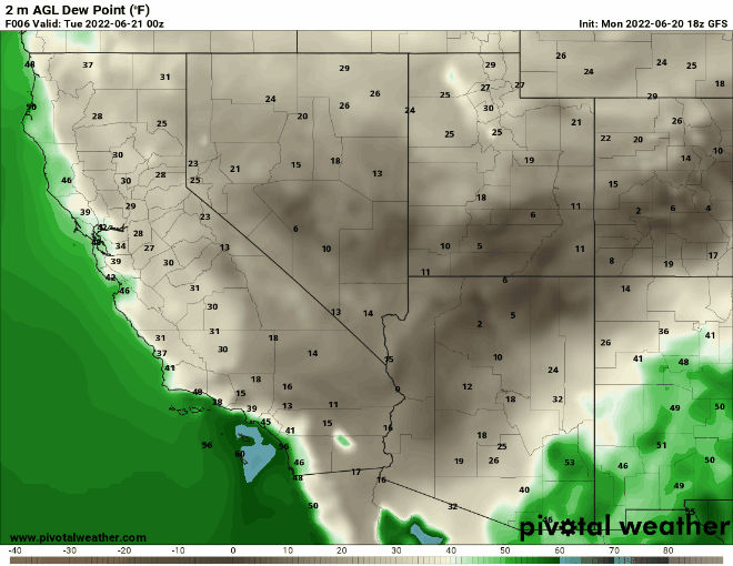
These repeated rounds of rain showers look to hang around through to next week.
Great Lakes and Northeast US
A trough continues to eject across portions of the Great Lakes region and northeast US. By Tuesday, a warm front will be lifting through the northeast US, bringing a rise in temperatures into the upper 70s and 80s as well as an increased chance of rain. Further west, a cold front will move in from the west and impacting the areas around Lake Michigan, Lake Superior, and Lake Huron, bringing chances for widespread showers and thunderstorms.
On Wednesday, the cold front will push into the northeast US and will once again increase the chances for showers and thunderstorms and bring temperatures down to the mid 70s and low 80s. Conditions will be calmer, and temperatures will begin to rise heading into the weekend before another cold front crashes through the region by this weekend into early next week. This system will once again bring the potential for showers and thunderstorms, as well as cooler temperatures.


