Happy Tuesday everyone! Today we will be continuing to monitor Hurricane Dora as it continues out West nearing Hawaii. Post-Tropical Cyclone Eugene is also dying down as the Atlantic remains calm… for now.
Hurricane Dora
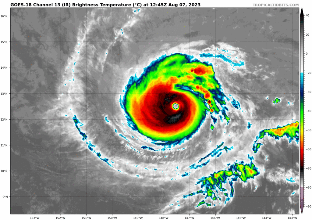
Reaching Category 4 over the weekend, Hurricane Dora is continuing to make it way westward over the Central Pacific while passing by Hawaii on its southern edge. As of today, Hurricane Dora will be roughly about 500 miles directly south by this afternoon and will leisurely make it way further west as it slowly begins to die down by the end of the week.

Although Dora will not bring any rain to the islands, Hurricane Dora will still contribute a bit to the heavy wave swells and winds throughout the next few days. However, Dora is not the main culprit as an upper-level trough to the northwest in combination with Dora will create an intense pressure gradient for these winds to really surge around Hawaii today. These winds will continue for the next couple days as Dora is not looking to go down easy. Dora will continue to maintain its moderate strength for at least the next couple days as conditions remain favorable ahead of its path.

Pacific Basin – Tropical Storm Eugene

We were looking at Invest 97E last Friday which developed into a tropical storm Eugene over the weekend, and as quickly as it came, Eugene has already fallen to Post-Tropical Cyclone status as it made its way up the West Coast of Mexico. By tomorrow into Thursday, Eugene will likely return to a cluster of storms as it once was. Another cluster of storms around a low pressure system is developing further south this week but currently is looking at around 30% chance over the next 7 days. If this disturbance does develop, it will likely follow the same path as Dora following in its wake.

Already in its post-tropical cyclone phase sitting around 30 knots of sustained winds, Eugene is going to curve back northeast into South California. But by that time, there likely will not be a Eugene left to impact the coast in any major way. For now, it may produce isolated thunderstorms and heavy rain but likely won’t produce the damaging winds expected from a tropical storm.
Extended Outlook in the Atlantic Basin
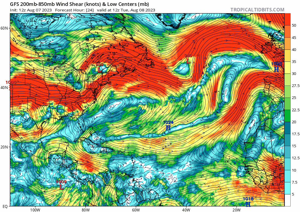
The Atlantic basin is looking cool and calm for this week as no disturbances expected in the basin for the short term. However, this isn’t to say we are clear for this week as favorable conditions over the weekend could possibly spark up some storms in the Central Atlantic.

As we look further into the start of the weekend, strong shear throughout the tropical Central Atlantic will begin to move out of the area which can lead to favorable development of tropical storms moving into the Gulf region. These are the most concerning for the Southeast US so it will be very important to keep a check on the Atlantic this week as tropical waves develop off of Africa.

Conclusions
Hurricane Dora will indirectly produce some moderate wind storms around Hawaii today as Eugene curves back towards Southern California. Luckily for the both states, the impact of both storms will be relatively minimal in terms of rainfall, especially for Hawaii. The Atlantic will be quiet for the time being but later development this weekend could produce some interesting storms for us during this August season.


