Upper-level ridging will persist for the new few days before backing away towards the west into the weekend. Much of a similar pattern that the past few days have been will continue throughout the rest of the week. High temperatures will generally be in the upper 80s to low 90s while low temperatures only drop to the mid-to-upper 70s. Not much of a relief after sunset as the air will still be very humid.
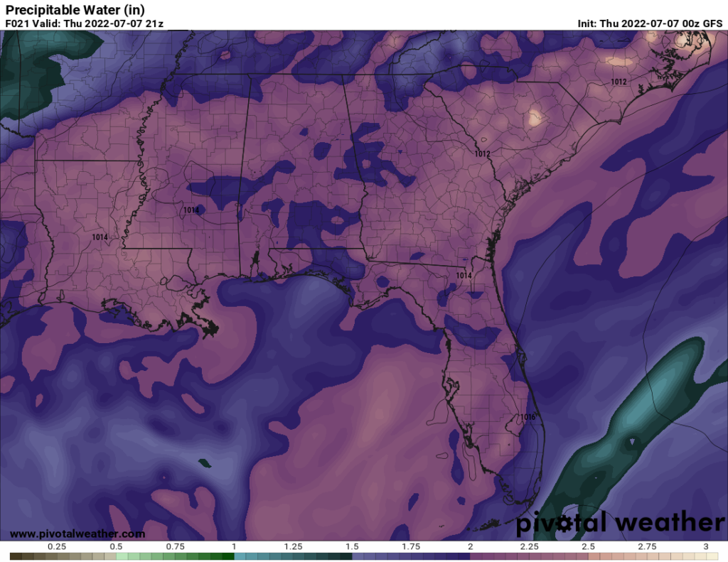
Speaking of heat and humidity, these two factors will help contribute to the rain chances we have heading towards the weekend. Surface winds will generally be southerly, advecting warm, moist air from the Gulf of Mexico. Dewpoints in the mid-to-upper 70s will keep it feeling humid and sticky outside. Precipitable water values will be north of 2.0″ indicating that there is plenty of moisture in the atmosphere for storms to produce locally heavy rainfall.
Showers and storms Thursday will be isolated to scattered in nature as they take advantage of daytime heating with temperatures into the 90s to initiate convection. The sea-breeze will also help some to produce lift for storms to fire off. Weak winds aloft will not allow for any good steering of these storms; therefore, locally heavy rainfall could be an issue if storms sit over the same area for a while.
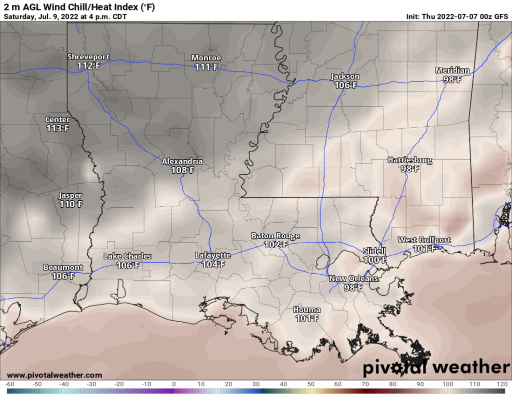
Temperatures for the next few days will be around the 90s with heat indices nearing the 100s. Rainfall should keep these in check and below the heat advisory criteria. Make sure to stay on top of any messages from the local NWS office if the heat indices do require heat advisories. Heading through the weekend, those heat indices could increase a bit into the 100s for some areas.
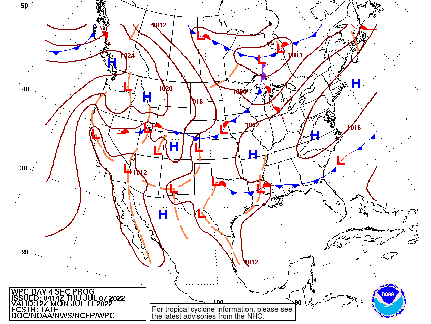
For next week, troughing from the Northeast will push towards the south allowing the ridge to move back towards the west. This could allow a frontal boundary to make its way to the gulf coast. Unfortunately, the drier airmass will be kept to the north and the more moist air will be near the coast still. Diurnally driven showers and storms will still be possible next week in the area.
Day-to-Day Forecast
Thursday
Partly cloudy with a 40-percent chance of showers and storms early afternoon and evening hours. Highs upper 80s and low 90s with the heat index reaching the upper 90s. Lows in the upper 70s.
Friday
Partly cloudy with a 50-percent chance of showers and storms in the afternoon hours. Highs in the low 90s with the heat index reaching 100F in some areas. Lows in the upper 70s.
Saturday
Partly cloudy with a 50-percent chance of showers and storms in the late afternoon/evening hours. Highs in the mid 90s with heat indices between 100F and 105F. Lows in the upper 70s.
Sunday
Partly cloudy with a 70-percent of precipitation. Highs in the low 90swith heat indices between 100F and 105F. Lows in the upper 70s.
Monday
Partly cloudy with a 60-percent chance of precipitation. Highs in the low 90s with heat indices reaching 100F. Lows in the upper 70s.
Tuesday
Partly cloudy with a 50-percent chance of precipitation. Highs in the upper 80s with heat indices reaching 100F. Lows in the upper 70s.
Wednesday
Partly cloudy with a 50-percent chance of precipitation. Highs in the upper 80s with heat indices in the mid 90s. Lows in the mid 70s.


