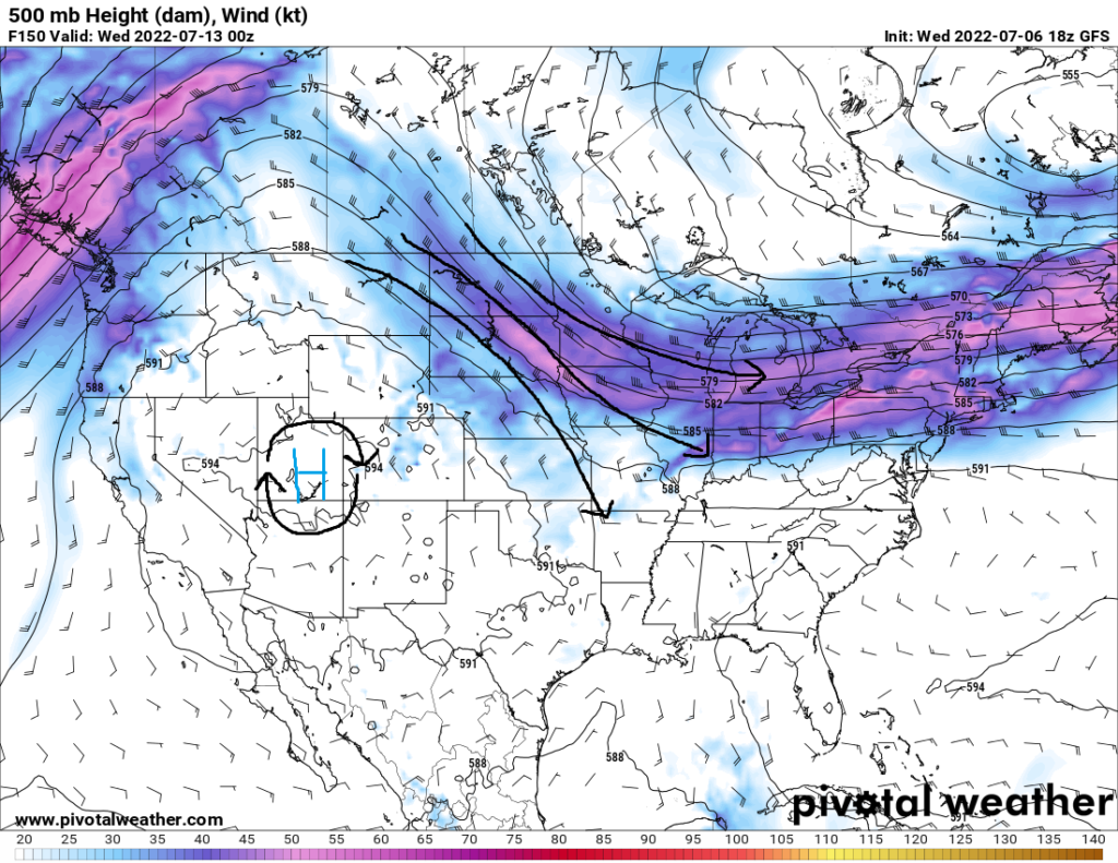
The humid heat and repeated opportunities for rain showers continue to be the staple of the weather for the region. A mid-level ridge remains hovering over the southeast US, allowing for hot, summer temperatures to persist. The good news is the influence of this high pressure system will begin to wain somewhat due to a shortwave trough ejecting across the northeast US on Friday. By the weekend and into next week, northwesterly flow aloft will overspread the area, as persistent troughing over the eastern US will help to bring in greater chances for rainfall.

Over today and Friday, potentially hazardous heat will hang around for much of the area. Temperatures in the low to mid 90s and dew point temperatures in the low 70s will help raise the heat index to near or above 105°F. As such, areas in the northern part of the region are under a Heat Advisory today and potentially Friday and Saturday. Areas further south and east will also have to be monitored for a Heat Advisory should the criteria be met.

NAM 3km Wind Chill/Heat Index (°F) for Friday at 4:00pm CDT // Courtesy: Pivotal Weather
Rain chances will be predominantly isolated through the late week and into the weekend. Any showers that are able to form will be as a result of the diurnal heating and cooling process, as well as any existing outflow boundaries from previous storms. Any storms that do form will still be efficient rain producers, with PW values approaching 2 inches due to the moist airmass in place.
By Sunday, a break of sorts from the heat may be on the way, as the high pressure ridge moves westward, and northwesterly flow aloft replaces it. This will help to lower temperatures as well as increase rain chances across the area. This regime will persist through next week, although the heat will begin to rise by mid next week.
Day to Day Forecast
Thursday
Mostly sunny. High temperatures in the mid to upper 90s. Low temperatures in the mid to upper 70s. Heat indices may reach up to 105°F to 110°F. Chance of rain 30-percent.
Friday
Mostly sunny. High temperatures in the mid to upper 90s. Low temperatures in the upper 70s. Heat indices may reach up to 105°F. Chance of rain 30-percent.
Saturday
Partly cloudy. High temperatures in the low to mid 90s. Low temperatures in the mid 70s. Chance of rain 50-percent.
Sunday
Partly cloudy. High temperatures in the upper 80s to low 90s. Low temperatures in the mid 70s. Chance of rain 50-percent.
Monday
Mostly sunny. High temperatures in the low to mid 90s. Low temperatures in the low to mid 70s. Chance of rain 30-percent.
Tuesday
Partly cloudy. High temperatures in the low to mid 90s. Low temperatures in the low to mid 70s. Chance of rain 30-percent.
Wednesday
Partly cloudy. High temperatures in the low to mid 90s. Low temperatures in the mid 70s. Chance of rain 40-percent.


