With Post-Tropical Don finally coming to end today, the tropics here around America is very calm, at least compared to our friends in the Philippines who are currently be hit by Super Typhoon Doksuri which is the equivalent of around a Category 3 Hurricane here in the states. We have two disturbances to look into this week in the Atlantic with the Pacific looking cool and calm.
The Atlantic Basin

There is currently two tropical disturbances out in the Atlantic Basin, one sitting northwest off the Turks and Caicos Islands with another one further southwest off of the eastern side of the Caribbean Islands. These disturbances both have very low chances of formation throughout the next 7 days around 10-20%.
The first disturbance AL95 further south will be moving pretty quickly westward into the Caribbean Sea. By the late afternoon today, the this system will move over the Windward Islands but conditions should not be that severe as any significant development is very unlikely even as it continues west. Ahead of the disturbance will be an area of strong shear and upper-level winds that prevent this storm from really developing over the Caribbean.
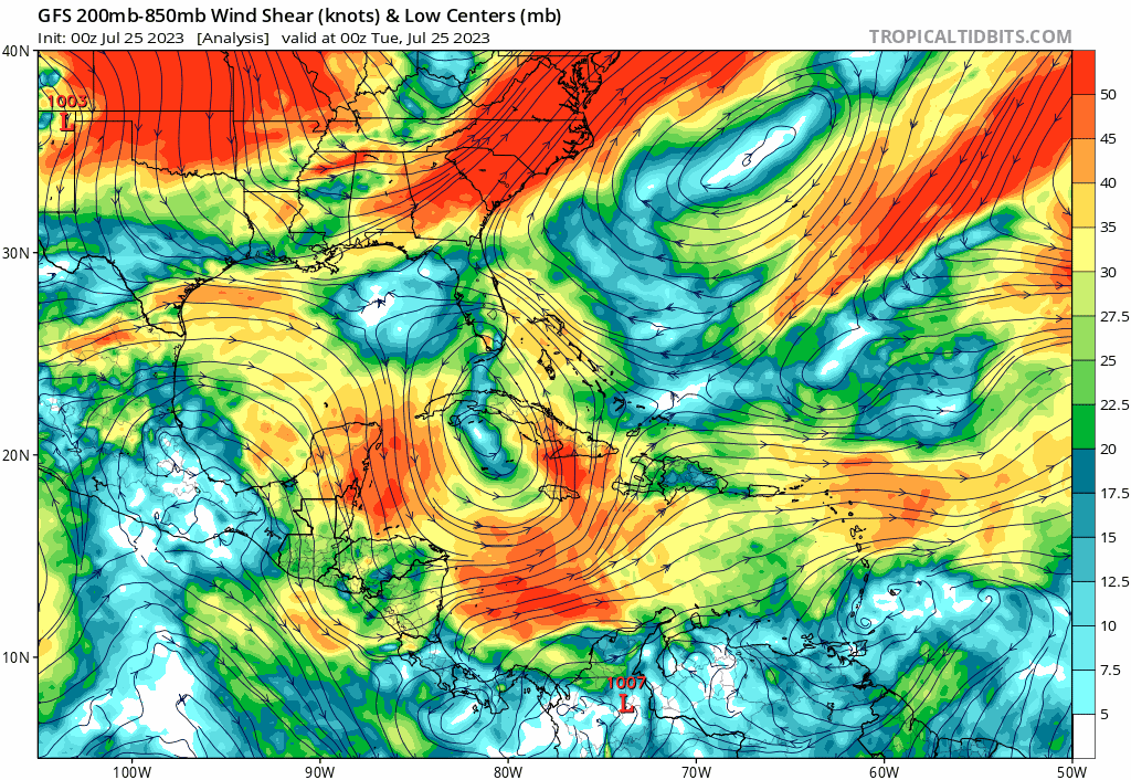
The second disturbance closer to US south of Bermuda will be a slightly more interesting story as the week progresses for us as this low pressure system is making its way towards the Southeast Coast later this week. However, this system likely will stay just a collection of thunderstorms which will reach Florida coast later this week.
The Pacific Looking Calm this Week
After Tropical Depression Four-E last week, activity in the Pacific has been looking pretty uneventful for the next week with no expected development of any tropical disturbances or storms. While moisture and rain will still be plentiful along the Southwest coast of Mexico, these systems will struggle to organize into any significant convection

Extended Outlook

As we start to see more activity in the Atlantic, it is important to monitor the 500 mb heights where we can start to see the Gulf possibly open up a bit for tropical development to hit the Southeast coast. With the higher pressure further northeast, tropical storms from the Caribbean and tropical Atlantic to spin northwest into the Bahamas and Florida Coast. Especially as we inch day by day closer to the month of September, we could start to see some dangerous storms.
Quick Look at this Super Typhoon!
Although we are not typically interested in weather outside the US-focused area, it is interesting to see the spin up of a pretty severe typhoon. This is the same type of weather that we would call a hurricane, simply just a different naming system. While devastating to see the destruction this will bring to the Philippines and local countries, let us be thankful for an easy season for hurricanes here in the US.


