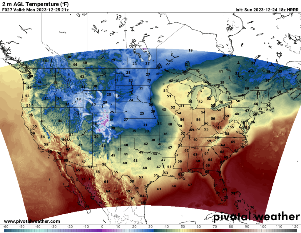
Merry Christmas, everyone! As for how the Christmas forecast looks, that depends on which part of the country you’re in. The Southeast will see relatively mild temperatures, while the Plains will see colder than average temperatures. A cold front is currently moving through the central US and will continue to advance eastward over the next few days.
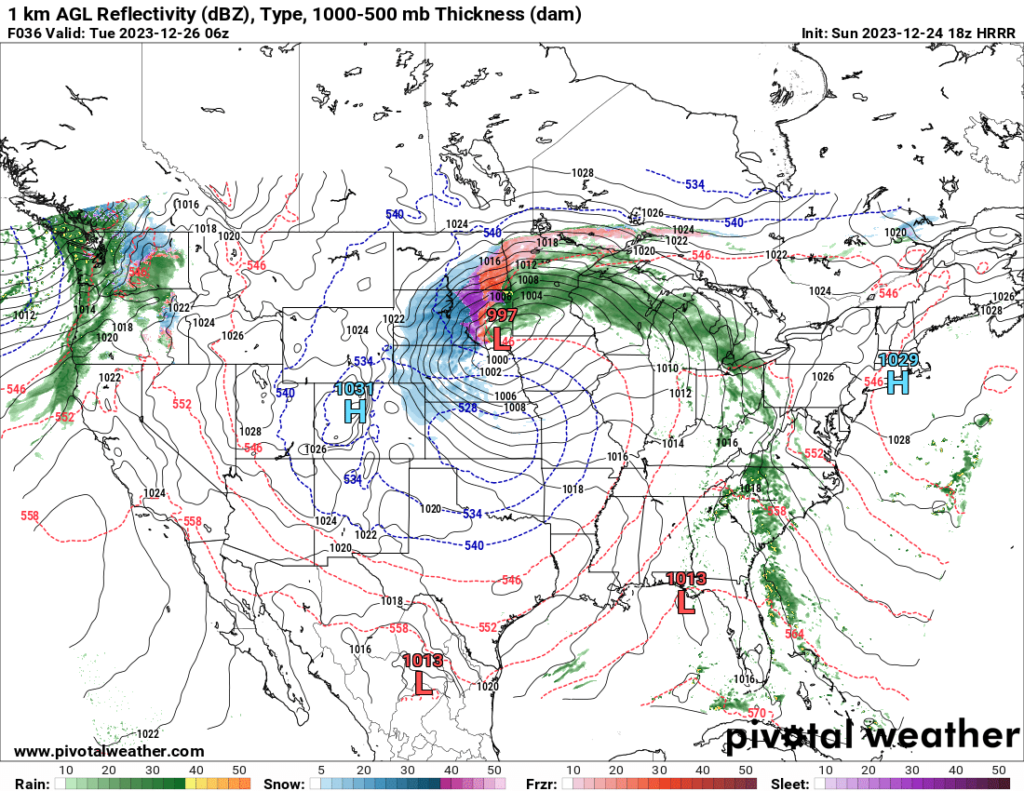
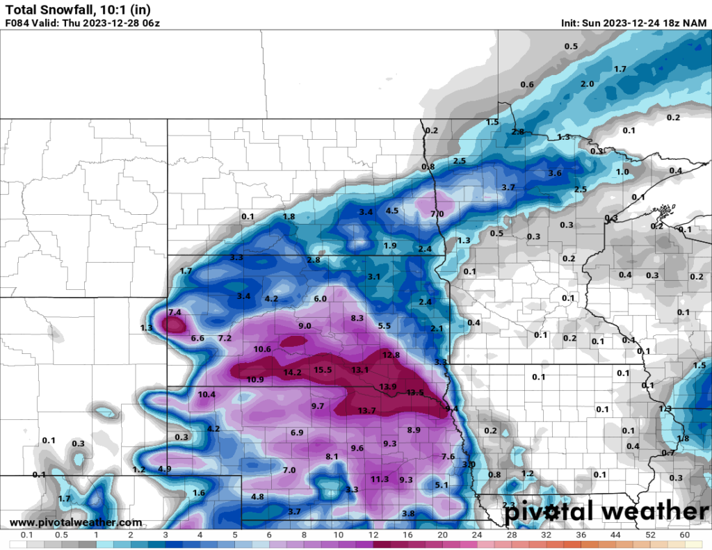
The front is associated with a developing midlatitude cyclone. The low-pressure center of the system is expected to hover over the northern Plains states and Midwest states of Iowa and Minnesota. The system is expected to bring a fair amount of snow to the northern Plains states over the next few days, particularly Nebraska and South Dakota.
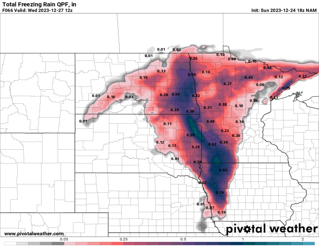
What I’m more concerned about is the potential for freezing rain with this system. In western Iowa and Minnesota and the eastern part of the Dakotas, the temperature profile seems very favorable for freezing rain, as elevated warm air should be present above the cold air associated with the surface cold front. This will likely result in freezing rain for those areas late tonight through the end of the day Tuesday. Freezing rain is very dangerous to drive in, even more so than snow.
Farther south, the midlatitude cyclone will bring rain to the Southeast and some of the other Midwestern states, which will eventually move towards the Northeast. Many Southeastern states will see rain on Christmas Day, which is the South’s version of a white Christmas (since we rarely get them here). Notice the precipitation on the map below forming a comma shape around the low in South Dakota, with the “comma head” in the northern Plains and the “comma tail” in the Southeast. That comma shape is typical for a midlatitude cyclone. If there were severe weather, it would be in the tail region, but severe weather is not currently expected with this system.