It was the best of times, it was the worst of times.
A Tale of Two Cities is a great read. But not a great title for a storm chase.
But this time, the two cities were Shamrock and Childress. And neither offered much to look at.
Chris and I started out in Amarillo, Texas and cruised east toward Shamrock, Texas. We pulled off to the side of the road to watch the first developing cell near McLean, Texas.
The cell eventually dissipated. We decided to head south to developing convection near Memphis, Texas. As we pulled into the intersection of FM 2437 / HWY 83, the News 9 storm chasers out of Oklahoma City went cruising by us. They too were heading south.
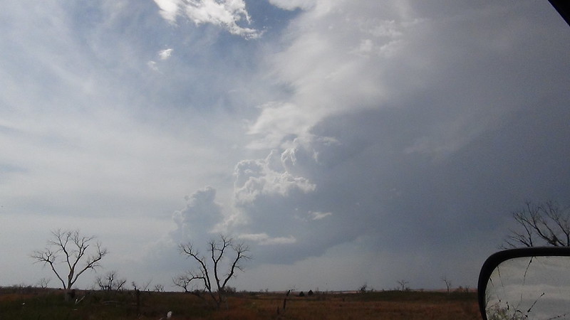
We noticed these storms firing when we stopped a few minutes earlier.
On radar, the storms were robust, but lacked organization. The common theme for the day was CAPE south, shear north. The storm to the south was having trouble getting organized for two reasons: Lack of shear, and a few other storms started bubbling up around it.
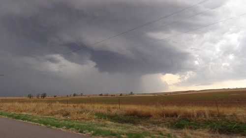
When we were driving on HWY 83 south, we eventually encountered some hail from the storm that was moving northeast. We met the hail just north of our original target, Shamrock.
Right after the hail, Reed Timmer’s Dominator when cruising by. Right before getting into the hail, I was able to grab a quick picture of a small meso trying to break away from, the now cluster, or storms.
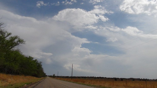
As we drove through Shamrock, the largest of the cluster of cells was trying to organize just to the northeast of Wellington, Texas. We decided to “punch the core” of the storm, so to speak, understanding that this wasn’t a true “punch” because the “core” of the storm was already on the east side – continuing to the northeast – of HWY 83.
The chase, though, was cut short when the east/west road we needed to use to get around the storm and into proper position for a good view was closed. HWY 203 into Oklahoma was closed and the detour pushed us about 15 miles to the south and by that time the storm was out of our chase area.
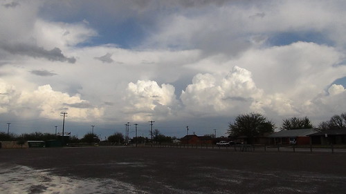
Instead, we continued south to Childress, Texas with hopes of catching a developing cell before it moved into Oklahoma, too. Though it never truly “grew” into anything worth chasing.
It did offer a good picture, though.
And a decent panorama.


