I asked ChatGPT to rewrite my forecast as a Film Noir. It may be the best one yet.
INT. DARK ROOM – NIGHT
A dimly lit room with a single desk cluttered with papers. The room is filled with smoke, creating an eerie atmosphere. The sound of a typewriter fills the silence.
The words emerge on the page, each keystroke echoing through the room. The date, May 19, 2023, appears on the top-right corner, a constant reminder of the passing time.
“Issued at 414 AM CDT Fri May 19 2023. Today and tonight:“
The words carry a sense of urgency, revealing a world cloaked in darkness. Satellite imagery reveals a sinister presence, a closed low spinning ominously over the U.S./Canada border. Its surface low lurking, waiting to unleash its wrath upon the unsuspecting.
A cold front creeps towards the northwest, its arrival delayed, as if savoring the anticipation. A storm brews, its ferocity concealed, lurking in the shadows of the night.
There remains a low chance, a flicker of danger, as midnight descends upon the northwest. The threat of fierce storms lingers, their fury ready to unleash. Damaging wind gusts and hail, a torrent of destruction, threaten to engulf the land.
As the sun rises, an eerie fog blankets the southeast, shrouding it in mystery. Dense and suffocating, it veils the secrets hidden beneath.
But as the morning progresses, a shift occurs. A shortwave ridging emerges, casting a fleeting respite upon the land. The aftermath of a departing shortwave trough, an interlude in the chaos.
Yet, beneath the calm, an undercurrent stirs. Moisture laden air, a breeding ground for turmoil. Afternoon heat fuels the impending tempest, gathering energy for the inevitable clash.
Convection looms, a ballet of thunder and lightning. The eastern half of the land becomes the stage, where the dance of storm and sky unfolds. A performance destined to fade with the setting sun.
Dusk approaches, the calm before the storm. Raindrops tiptoe, tapping on the windows, announcing the arrival of the cold front. The night grows restless, bracing for the impending chaos.
Saturday through Thursday night:
The scene shifts, the plot thickens. An upper-level shortwave takes center stage, propelling the cold front across the land. Showers and thunderstorms emerge, their intensity a menacing presence.
The forecast reveals a warning, a marginal risk. Danger lurks, concealed within the forecast. The front retreats, leaving traces of moisture in its wake. A parting gift, a reminder of its power.
A weak upper low traverses the land, casting a shadow of uncertainty. Storms ignite, scattered and unpredictable, as the night descends upon Monday.
Isolated diurnal storms punctuate the days that follow. The land is at the mercy of the elements, oscillating between calm and chaos. The GFS/ECMWF whisper of an upper low lurking in the southeast.
Wednesday, the pivotal moment. The movement of this low holds the key, dictating the path of our destiny. Thursday and Thursday night, a climax awaits, a culmination of forces beyond our control.
In this shadowed world, temperatures remain in the low/mid 80s, offering no respite from the oppressive heat. The nights offer little solace, with lows lingering in the low/mid 60s.
The typewriter falls silent, the words etched upon the page. Darkness envelopes the room, leaving only the faint flicker of uncertainty. The stage is set, the tale unfolds, and the characters brace for what lies ahead.
FADE OUT.
I’ve got to say that ChatGPT found a super fancy way to explain that there is a chance for showers and storms each day during the next about four to five days.
We will have a weak front swing through tomorrow. This will help give a quick bump to the shot for rain, but behind the rain it will be a bit drier with lower humidity and slightly cooler temperatures. It should keep things dry most of Sunday with no ‘good’ chance for rain. While we can’t rule out a shower or storm, if you have outdoor plans, I’d keep them for sure – just have a backup plan in case you get unlucky and end up under the one or two storms in the area.
Next week, we ease back into a more summer-like pattern with chance for storms every other day.
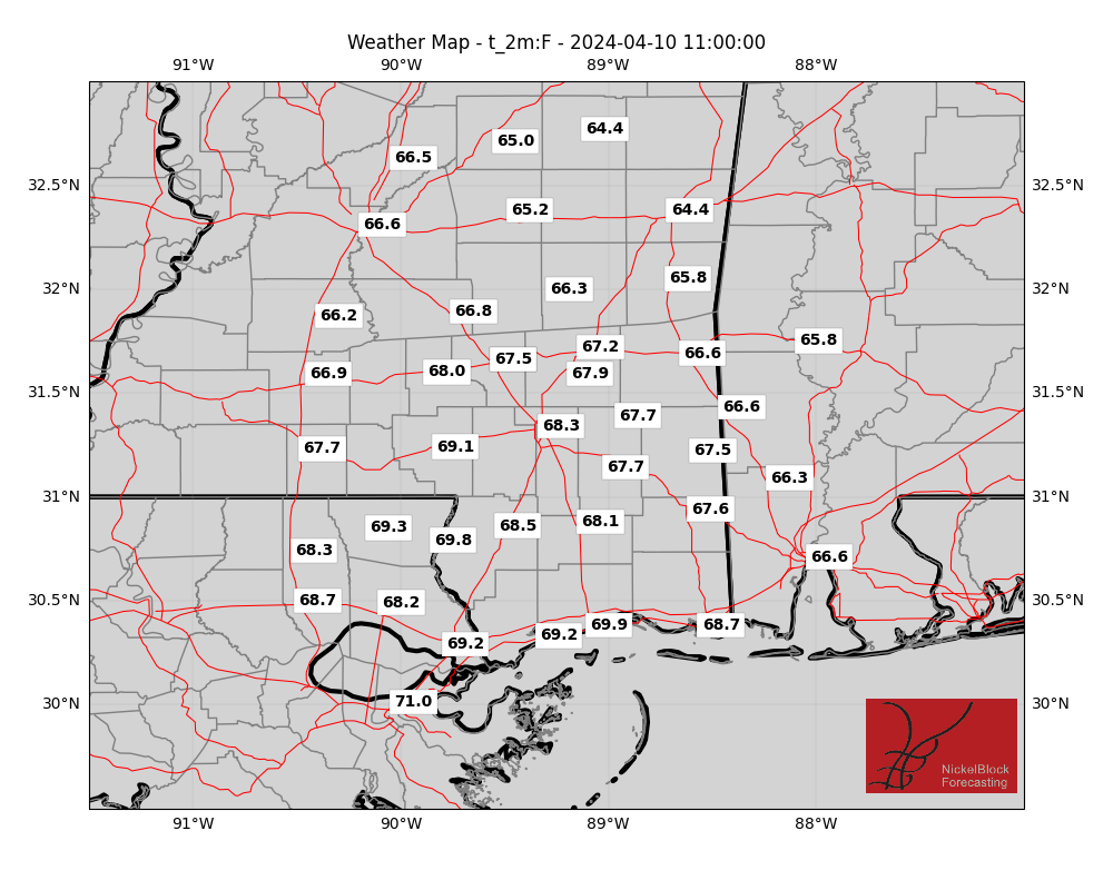
EXTRA WEATHER MAPS
Here is a look at some extra weather data!
Select Data Set:

If you’d like to see any weather data in particular here, make a request! I’ll do my best to see what I can find.
REGIONAL DAY TO DAY FORECAST
Today: Mostly sunny. Patchy fog this morning. Storms will be possible this afternoon. Highs in the upper 80s. East winds around 5 mph, becoming south around 5 mph this afternoon. Chance of rain 40 percent.
Tonight: Partly cloudy. with storms possible through sundown. Lows in the upper 60s. Southeast winds around 5 mph in the evening, becoming light and variable. Chance of rain 20 percent.
Saturday: Mostly sunny. A chance of showers and thunderstorms in the afternoon. Highs in the lower 90s. West winds around 5 mph. Chance of rain 40 percent.
Saturday Night: Mostly cloudy. A slight chance of showers and thunderstorms in the evening. Lows in the upper 60s. North winds around 5 mph. Chance of rain 20 percent.
Sunday: Partly sunny. Highs in the lower 80s. North winds 5 to 10 mph.
Sunday Night: Mostly cloudy. Lows in the mid 60s.
Monday: Mostly sunny with a few storms possible. Highs in the mid 80s. Chance of rain 30 percent.
Monday Night: Mostly clear in the evening, then becoming partly cloudy. Lows in the mid 60s.
Tuesday: Mostly sunny. Highs in the mid 80s.
Tuesday Night: Partly cloudy. Lows in the mid 60s.
Wednesday: Mostly sunny with a chance of showers and thunderstorms. Highs in the lower 80s. Chance of rain 40 percent.
Wednesday Night: Partly cloudy. Lows in the lower 60s.
Thursday: Mostly sunny.. Highs in the mid 80s.

