IT looks like we will have another shot for showers and storms today and tomorrow. Then again on Saturday, too. The threat for severe weather is pretty minimal, but not totally zero. These should remain mainly as ‘summertime storms’ with brief heavy rain, lightning, small hail and wind gusts as the main concern.
I gave ChatGPT the forecast for today and asked it to write it like Ace Ventura, Pet Detecive

Alrighty then! Let’s take a look at the weather report.
Doo-leh-looo-loo. Captains Log, Star Date 405 AM CDT on this fine Thursday morning, May 18, 2023. And guess what? We got a stalled frontal boundary between Highway 82 and Interstate 20. Talk about a traffic jam! Along and south of this boundary, we’re seeing some patchy fog creeping in.
Now, don’t go all panicky on me, but we might witness some dense fog in a few spots out east and southeast. But no need to worry, it ain’t gonna be widespread or anything. We got our trusty satellite imagery and RAP analysis showing a subtle shortwave chilling near the Mississippi/Alabama state line, and another one hanging out in Arkansas. They’re planning to swing across our area today.
So, here’s the dealio,.although the satellite shows us plenty of dry air after the first shortwave passes, the models are hinting at some convective initiation later in the morning along that stubborn frontal boundary. Then it’s gonna spread east across eastern Mississippi during the afternoon with the second shortwave making its move.
Now, pay attention, ’cause here comes the important part. The greatest chance for rain today will be in east Mississippi, and it’s gonna hit us during the late afternoon. It could rain re-eh-eh-ally hard, but don’t go expecting any crazy severe storms. The conditions ain’t that favorable, my friend. There might be a few strong wind gusts, but we’ll survive. The convection will last into the evening before it starts tapering off.
Doo-leh-looo-loo.
Not bad. And hey, who wouldn’t love Ace Ventura as a meteorologist!
Model guidance this morning I think is probably a bit too aggressive with storm coverage, but I’d definitely keep the umbrella handy.
We will have another round of storms possible tomorrow and then on Saturday as the next front rolls through. The next front won’t knock temps back much, but should dry things out a bit and make it feel like Spring again, rather than Summer.
That ‘drier’ air should hang around through midweek next week before we start to see the humidity ooze back into the area.
[wpcode id=”41149″]
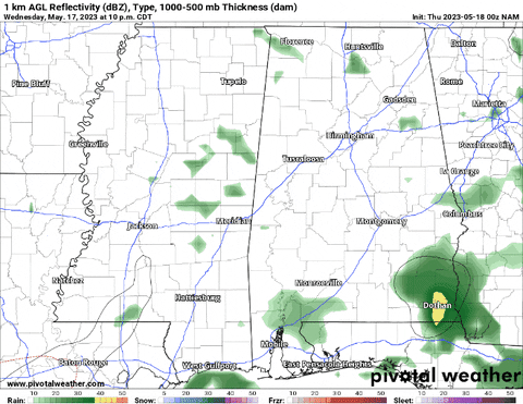
EXTRA WEATHER MAPS
Here is a look at some extra weather data!
Select Data Set:

If you’d like to see any weather data in particular here, make a request! I’ll do my best to see what I can find.
[wpcode id=”41149″]
REGIONAL DAY TO DAY FORECAST
Today: Patchy fog this morning. Partly sunny with a chance of showers and thunderstorms. Highs in the mid 80s. Light and variable winds, becoming south around 5 mph this afternoon. Chance of rain 50 percent.
Tonight: Partly cloudy. A chance of showers and thunderstorms in the evening. Lows in the upper 60s. South winds around 5 mph in the evening, becoming light and variable. Chance of rain 50 percent.
Friday: Mostly sunny. A slight chance of showers and thunderstorms in the afternoon. Highs in the upper 80s. Southeast winds around 5 mph, becoming south around 5 mph in the afternoon. Chance of rain 20 percent.
Friday Night: Mostly clear. Lows in the upper 60s. South winds around 5 mph.
Saturday: Mostly sunny. A chance of showers and thunderstorms in the afternoon. Highs around 90. West winds 5 to 10 mph. Chance of rain 40 percent.
Saturday Night: Mostly cloudy. Lows in the mid 60s.
Sunday: Partly sunny. A slight chance of showers and thunderstorms in the afternoon. Highs in the mid 80s. Chance of rain 20 percent.
Sunday Night: Mostly cloudy in the evening, then becoming partly cloudy. Lows in the lower 60s.
Monday: Mostly sunny. A slight chance of showers and thunderstorms in the afternoon. Highs in the upper 80s. Chance of rain 20 percent.
Monday Night: Partly cloudy. Lows in the mid 60s.
Tuesday: Mostly sunny. A chance of showers and thunderstorms in the afternoon. Highs in the mid 80s. Chance of rain 40 percent.
Tuesday Night: Partly cloudy. A slight chance of showers and thunderstorms after midnight. Lows in the mid 60s. Chance of rain 20 percent.
Wednesday: Mostly sunny with a slight chance of showers and thunderstorms. Highs in the mid 80s. Chance of rain 20 percent.


I’m just hoping we get the same number of days of pretty weather that we have with rain. It’s only fair.