There will be a chance for storms during the next 24 hours but it may not actually arrive until we get into the overnight hours.

The map above shows storms at midnight tonight moving south across the region between midnight and 5a. Some storms will be strong, a few will be severe. The Storm Prediction Center has pasted the area with a Marginal to Slight Risk for severe storms given the setup.

The main concern will be for heavy rain, lightning, and gusty wind. A tornado can’t be ruled oiut, but the likelihood of a tornado is very, very low.
Storms will be possible again Friday afternoon, and perhaps even through the weekend. But those would be mainly afternoon summertime storms.
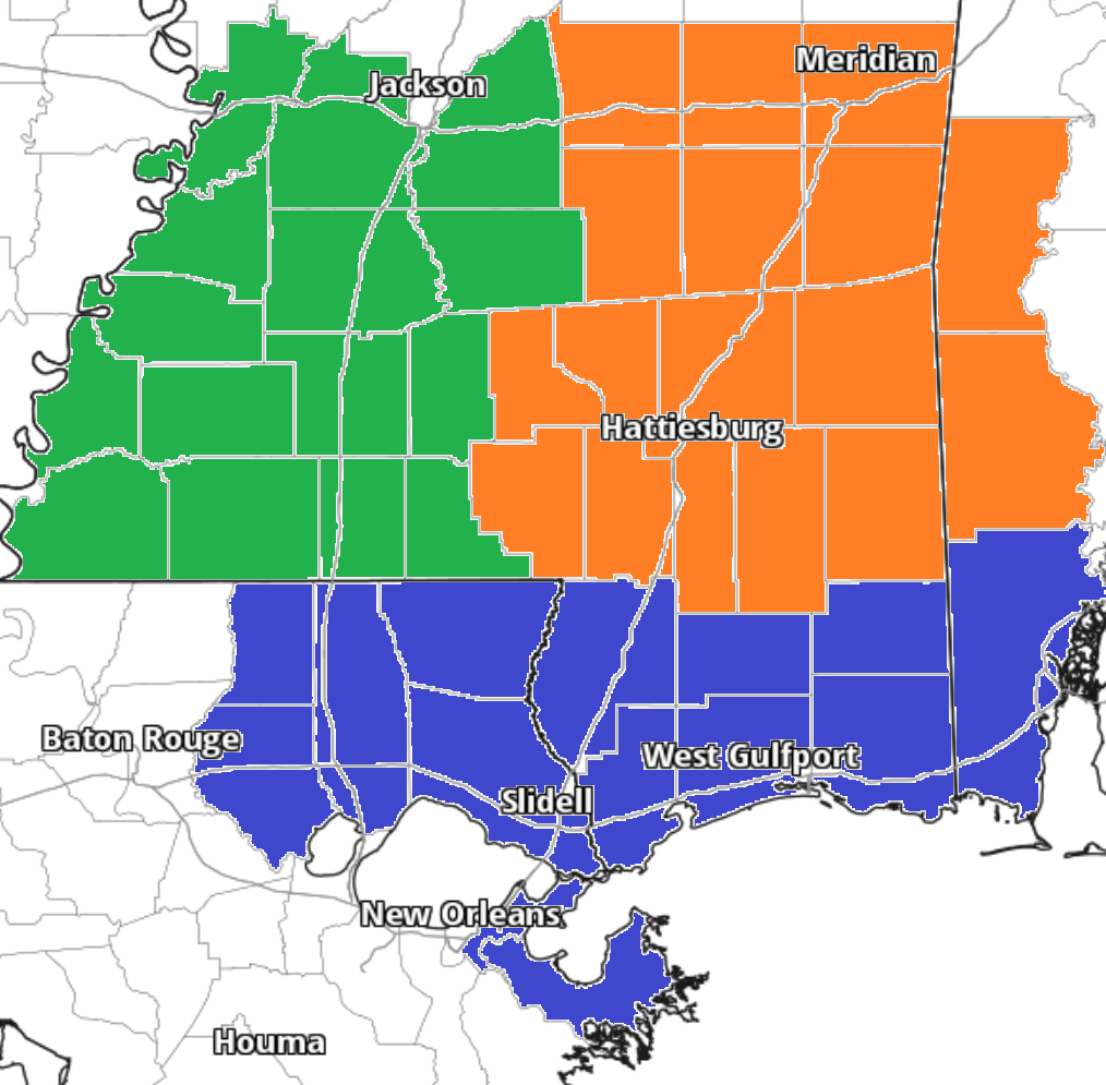
Zone-Specific Forecast
The interns have you covered with the zone-specific forecast!
Team Green (southwest Mississippi counties) on the left
Team Orange (southeast Mississippi counties and southwest Alabama counties) in the middle
Team Blue (southeast Louisiana parishes and coastal Mississippi / Alabama) on the right