Good morning and happy Thursday!
From the West Coast to the East Coast, we’ll take a look at the big weather stories for the next few days. As you’ll soon find out, one overarching theme is the presence of above-average temperatures across the Continental United States.
Synoptic Picture

An upper-level ridge is sitting over the western half of the United States, with a weak upper-level low situated just north of the Great Lakes. This ridge is responsible for some very high temperatures across the southern Great Plains and the Southwest, with triple digit temperatures seen in many cities across the region.
In fact, the only sizeable part of the continental United States that isn’t seeing above-average temperatures at the moment are parts of the Great Lakes, due to the influence from the upper-level low.

Western United States
As evident from the 500mb map in the section above, the crest of the upper-level ridge currently extends as far north as British Columbia in Canada, which brings the axis of this “heat dome” right over the West Coast. However, in the Friday-Saturday timeframe, a weak upper-level disturbance will move into the region, bringing some slightly below-average temperatures and the chance for some rain – particularly to the Pacific Northwest.


Despite the passage of this upper-level feature, much of central and southern California and the interior West will still experience above-average 500mb geopotential heights, and above-average temperatures. In fact, this small disturbance will have little affect in how the next few days will play out, as mean 500mb heights will remain above-average through the next 5 days.

According to the GFS ensemble model, much of the West will remain under anomalously high 500mb heights through the weekend. This means that the heat is expected to continue, as well as decreased chances for rain as the high-pressure promotes synoptic-scale sinking air.
Around the Four Corners region, its position on the western side of the upper-level high will lead to southerly flow off of the Pacific, moistening up the atmosphere and leading to a chance of showers and thunderstorms, especially this weekend and into next week.

Central United States
In the Central US, the passage of the upper-level low will help to keep the 500mb slightly above-average for this time of year, while the South Central US will continue to see above-average heights.

For the most part, however, the temperatures will remain above-average for much of the Central United States, with the 5-day mean temperature anomalies showing values higher than 10F for much of Kansas!

Courtesy of this ridge, no large disturbances will be able to make their way to the region, either. Leaving most of the chances of rain in the form of afternoon showers or thunderstorms, especially for the South Central United States. In the northern Great Plains, however, the northern periphery of the upper-level ridge will allow for some more organized systems to move into the region – even so, precipitation will likely be around or slightly below average for much of the region.

Southeastern United States
Across the South East, much the same is true. However, there will be some energy present in the upper-levels of the atmosphere thanks to a stalled boundary – this will increase our chance for some clouds and thunderstorm complexes, which will help to keep the temperatures down as well.

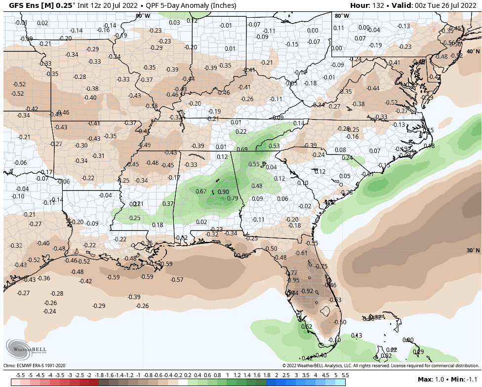
Apart from portions of Mississippi, Georgia, and Alabama, much of the Southeast will be a bit drier than usual.
Northeastern United States
For the most part, the Northeast has been left out of some of the heat that the Central and Southern parts of the country have been feeling. Well, their luck has run out! While temperatures will likely be around average today for much of the region due to the approaching upper-level low currently north of the Great Lakes, by Friday things will begin to heat up.


