Storms are still slated to move through tonight and into the overnight hours with rain, thunder and some gusty wind. But it still looks like the threat for severe weather will be very, very low.
Here is a look at the radar as of about 745p

After the rain passes through, much cooler air is going to settle across the area. The colder air will be much drier, too.
And the last few days, I’ve been talking about the battle between the colder drier air and the rainfall passing overhead. And if one was going to beat out the other. And the consequences of that fight.
The afternoon / evening model guidance seems to think that the colder drier air may win. IT shows that between Thursday afternoon and Friday afternoon a healthy portion of the area will be bone dry.
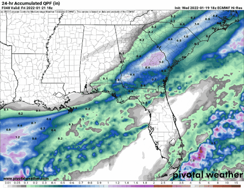
Looking at nine different models, all but one keeps more than 90-percent of the coverage area dry.
So we are in the clear, right? All dry. Nothing to see here?

I would use a Lee Corso meme there, but any time I can get a Green Bay Packers GIF into a post, I’m going to.
Well, I should clarify: In terms of impacts to the area, I think this will really slow down any chance we have at accumulating precip that will cause any kind of widespread – or even local – problems. I don’t think powerlines will be coming down, I doubt there will be much an impact to roads or bridges if this model trend continues.
But! There is still some wiggle room to see something “pretty”

The above sounding shows there will be some omega (circled) up around 500mb in the Dendritic Growth Zone. That means we will be making flakes. Since this is a look at the atmosphere to the south in Louisiana and out into the Gulf, everywhere below the 850 line can be simply ignored.
We are looking down the street at what is coming our way.
The atmosphere is drier below where the snowflakes are being made. That means as they fall, they will either sublime (move from ice to vapor) or melt and evaporate. That will slowly moisten up the atmosphere and cool it down.
If these showers are heavy enough, eventually they will allow some of the moisture to make it all the way down to the surface. But there won’t be much moisture left because so many flakes and drops will be evaporating or subliming.
I’m thinking there will be a window, maybe around sunrise, when some ice crystal showers may develop because of this. These will look pretty, but offer nothing else. There won’t even be enough moisture to get anything wet.


