Two ocean basins, two completely different forecasts.
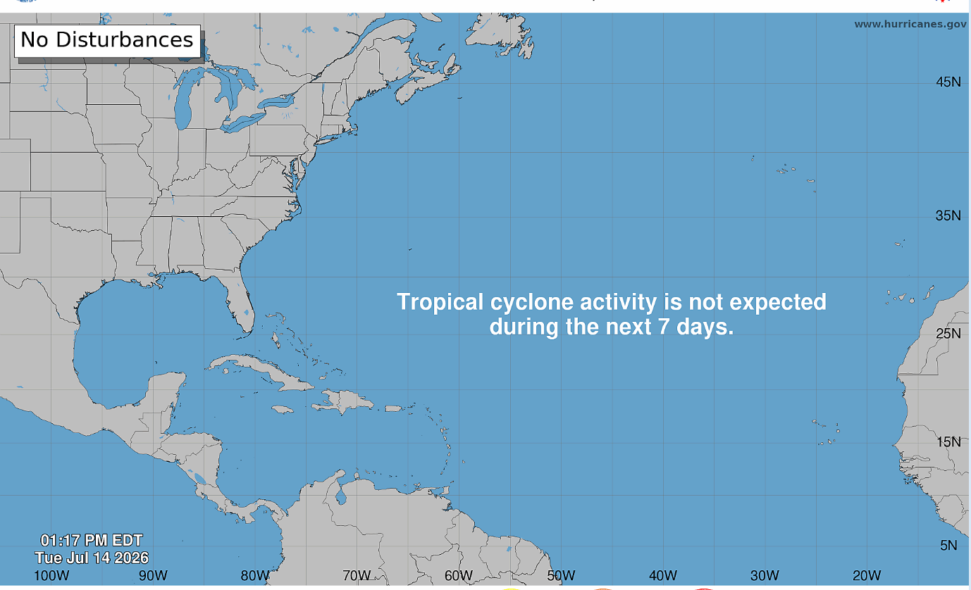
First, some good news. It’s a snooze fest in the Atlantic. But out west…
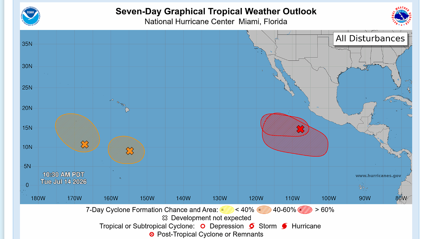
The National Hurricane Center has outlined several areas of interest. Development is most likely off the west coast of Mexico but thankfully there’s nothing in its path.
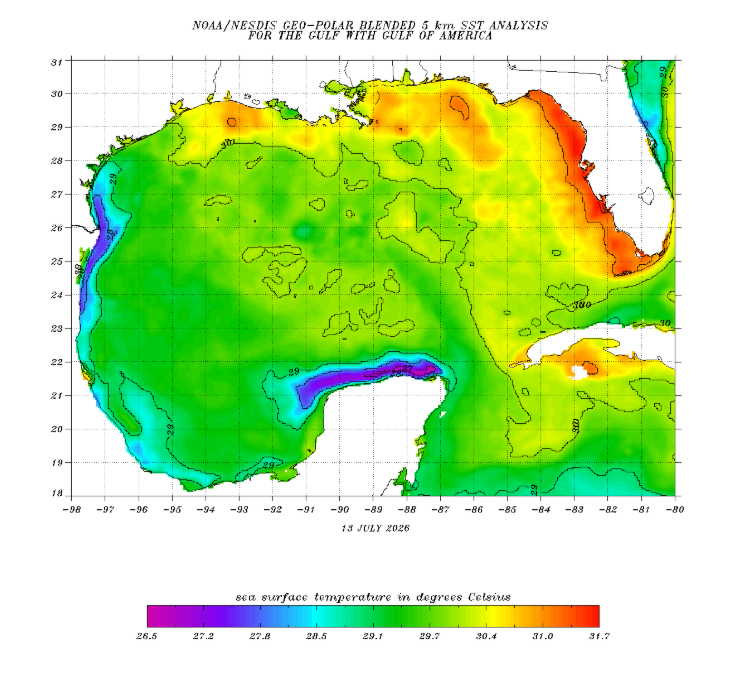
Back in the Gulf, waters are pretty toasty. This is not uncommon for mid July but we’re to the point now that if something was able to develop, the waters would allow it to sustained itself. Sea surface temperature is only one tool to look at though…
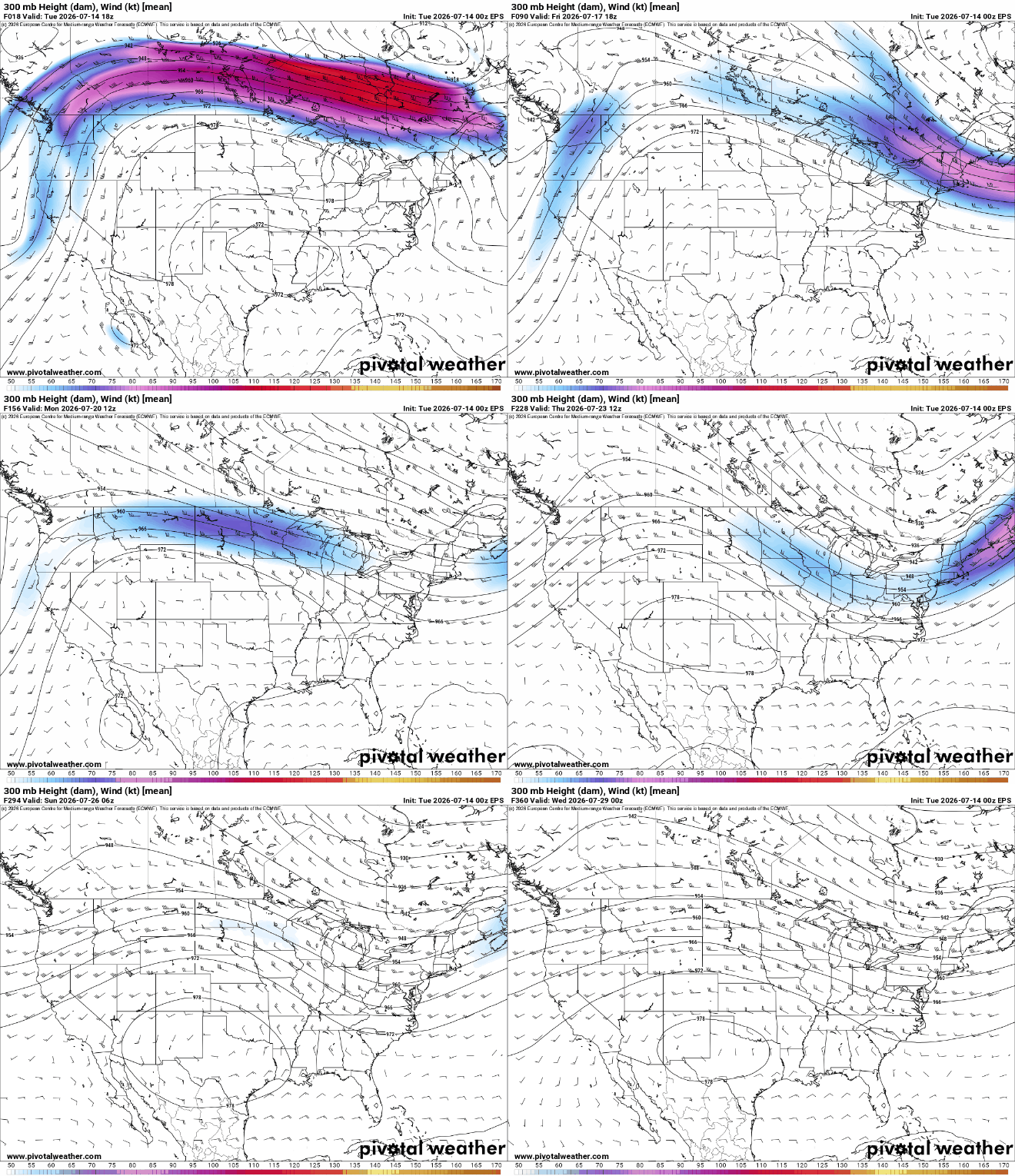
Shear is also pretty weak across the region. Again, not surprising, of course there’s a big ridge in mid July. So what’s stopping the hurricanes?
Dry air and overall subsidence.
There is no trigger to get an area of interest to develop. Just a dome of warm air that’s sinking (which is not favorable for storms to form since they need rising motion). This is further compounded by dust coming off the African Sahara.
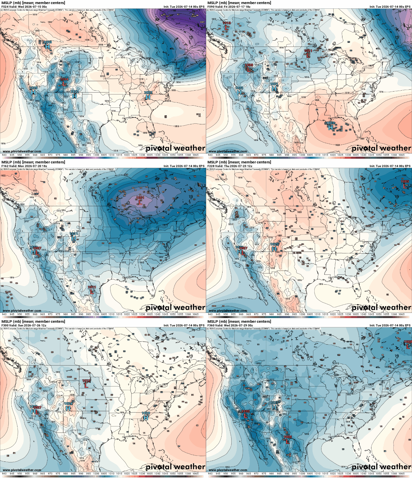
The Euro ensemble doesn’t have any real sign of development for the foreseeable future which is nice to see. This isn’t surprising given the development of a strong El Nino, but it’s welcoming nonetheless. We still have over a month before the climatological peak of hurricane season, so it’s not over yet, but overall we’re chilling for now.


