Our quiet period may be coming to an end for now as the National Hurricane Center (NHC) designated a tropical wave off the coast of Africa for gradual development as well as a wave in the Eastern Pacific. Let’s break down what these waves will do and more below with this forecast!
[wpcode id=”41149″]
Atlantic Basin
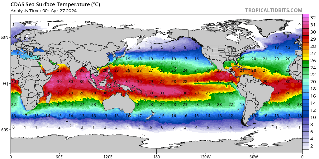
Within the Atlantic basin quiet conditions have persisted as the El Niño keeps shear high across much of the basin regions we would expect development to be at this time of year (typically in the Gulf of Mexico or the Caribbean), but a vigorous tropical wave currently emerging off the African Coastline has the potential to develop in the main development region (MDR) over the next week. While not yet an invest, the tropical wave is producing disorganized moderate to strong convection and is expected to enter a favorable region of development.
Models like the GFS and ECMWF depict the tropical wave to move within the MDR where seas surface temperatures are in the low 80s, wind shear while currently high is expected to relax, and moisture will be abundant. The main hinderance for development will be when the shear relaxes and how much latitude the system gains while developing.
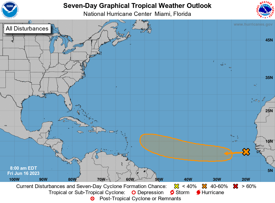
Currently, the NHC has a low chance of this system developing (0% in 48 hours and 40% in 7 days), but trends should be monitored as with any system. This system serves as a good reminder to ensure that insurance and hurricane kits are up to date as we enter hurricane season this year!

[wpcode id=”41149″]
Pacific Basin
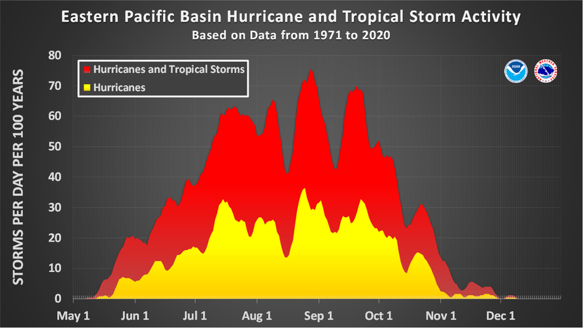
In addition to our Atlantic wave, an additional wave over in the Pacific Basin appears to be on the downtrend away from organization. Initially marked for the strong thunderstorms, trends these last few hours have turned away from any significant development as environmental conditions become increasingly unfavorable for tropical cyclone development. Once this wave dies, the basin should return to being quiet for the time being.

[wpcode id=”41149″]
Extended Outlook
Overall, outside of what the new are of interest off Africa does, the Atlantic basin should remain quiet which is normal for this time of the year. High wind shear and low latitude waves make any development more difficult which will hold true these next two weeks. The Pacific Basin does show some signs of life as the CPC highlights the basin as one with a medium chance for development. This outlook which is crafted on expected conditions and climatology shows that any development should continue to mark westward away from the continent and remain a nonissue for us on land.

Conclusion
Some potential development remains possible these next two weeks as our MDR remains warm and vigorous tropical waves continue to move off the African coast. Wind shear should work to keep the closer threats to the US at bay. A reminder to make those hurricane kits and check that insurance to ensure you are prepare once peak season comes later this year!


