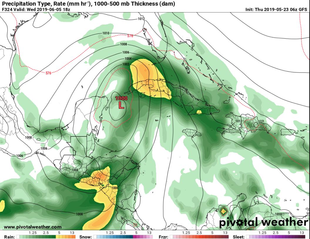
Something I covered on the news briefly yesterday is starting to garner more attention from the super smart folks in the tropical research community. We talked about how a piece of the Central American Gyre may “birth out” a weak system and send it north depending on a couple of different things occurring in the atmosphere.
It is now being discussed by people like Levi Cowan.
Thread: GEFS is trending toward mild cyclogenesis in the W. Carib. in ~5 days. Is this realistic? A few considerations:
1) GEFS is over-aggressive in this region at *all* lead times.
2) However, WHEM convective bias occurs at leads > 7 days, so 5d forecast has chance of realism pic.twitter.com/wKR4dSfdSk
— Levi Cowan (@TropicalTidbits) May 23, 2019
Levi mentioned in a different tweet that “the convective response to the upper trough’s prodding is facilitated by the background state, which currently consists of the MJO active phase passing through the western hemisphere during the next week or so. An active Caribbean is always more likely during such times.”
The GFS and GEFS models do tend to “over do” the development of storms in the six to nine day timeframe. And really have troubles figuring out what will happen beyond Day 10. But this bares watching.
There will have to be a few things that line up in jus the right way in order for – whatever happens – to be a real concern to the United States.
The lingering ridge, for example, would need to break down and slide to the east in the Day Four to Day Six time frame. And then the Gyre would need to break off a vorticity maxima in the northeast quadrant in the Day Three to Day Five time frame. Those are just two quick examples.
So, again, the likelihood isn’t high. But it bares watching. And that is all we can do at this point.


