Good morning folks! Temperatures will reach the mid 90s today with dewpoints around 75F across the forecast region bringing the heat index around 105F, so please stay hydrated and as cool as possible during this heat!

Skies will be mostly sunny this morning giving way to fair-weather cumulus clouds by noon, followed by some showers and thunderstorms will move through later in the afternoon and evening.

The subtropical ridge/areas of high pressure are holding on to the region today keeping things a bit warmer and drier; however, the upper-level trough in the Northeast has made room for more disturbances/storm systems to make their way southward into the forecast region. Come Thursday and Friday things become more active as upper-level energy swings through and brings thunderstorms and heavy rainfall.

Significantly high PWAT values ranging from 2″-2.25″ will have arrived by Thursday and will remain in the area into Friday as the front stalls just north of the region. This abundant moisture will allow for intense downpours as the upper-level swings through the region causing widespread showers and thunderstorms. Surface moisture will also remain high with dewpoints ranging from 70F-to-75F; however, temperatures will be slightly cooler both Thursday and Friday, giving us a break from heat.
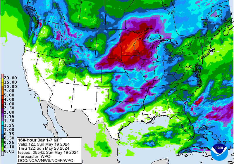
Overall, parts of the Southeast (including SE MS/SW AL) will see plenty of rainfall and below-average temperatures this week. Widespread totals ranging from 2″-4″ will be seen across the forecast region, with some of this rainfall occurring in quick and intense downpours leading to flash flooding, so be sure to avoid flooded roadways. I hope you get to enjoy your week and if you hear thunder outdoors, seek shelter indoors!
Day to Day Forecast
Today
Mostly sunny with a 40-percent chance for showers and thunderstorms in the afternoon/evening. Highs in the mid 90s. Heat Index values around 105F.
Tonight
Partly cloudy with a 20-percent chance for showers and thunderstorms before midnight. Lows in the mid 70s.
Wednesday
Mostly sunny with a 40-percent chance for showers and thunderstorms in the afternoon/evening. Highs in the mid 90s. Heat Index values around 105F.
Wednesday Night
Partly cloudy with a 30-percent chance for showers and thunderstorms before midnight. Lows in the lower 70s.
Thursday
Partly cloudy with an 80-percent chance for showers and thunderstorms in the afternoon/evening. Highs in the upper 80s. Heat Index values around 96F.
Thursday Night
Mostly cloudy with a 60-percent chance for showers and thunderstorms. Lows in the lower 70s.
Friday
Mostly cloudy with a 70-percent chance for showers and thunderstorms. Highs in the mid 80s.
Friday Night
Mostly cloudy with a 40-percent chance for showers and thunderstorms. Lows in the lower 70s.
Saturday
Partly cloudy with a 60-percent chance for showers and thunderstorms in the afternoon/evening. Highs in the upper 80s.
Saturday Night
Partly cloudy. Lows in the lower 70s.
Sunday
Mostly sunny with a 40-percent chance for showers and thunderstorms in the afternoon/evening. Highs in the upper 80s.
Sunday Night
Mostly clear. Lows in the lower 70s.
Monday
Mostly sunny with a 40-percent chance for showers and thunderstorms in the afternoon/evening. Highs in the upper 80s.
Monday Night
Mostly clear. Lows in the lower 70s.


