Tonight, we’ll see the winds shift to the south bringing an influx of moisture from the Gulf which will bring some possible dense fog to areas in the heart of the Pinebelt, so please be careful driving tonight and tomorrow morning. We’ll see the humidity start to increase with the wind shift over the next few days as a gradient forms over the Deep South to bring in some gusty winds.
Around the middle of the week, a multi-faceted low pressure system will begin to move east from the Rockies to the Great Lakes. With this, a few rain chances will be possible through the week. Tuesday night into Wednesday areas in northern Mississippi will see a chance of thunderstorms with a few strong isolated storms. By Thursday, the two fronts will occlude and dip far south enough that central Louisiana and southern Mississippi may see a chance of rain.

Friday we’ll see a slight break in the weather before the main part of the cold front moves in.
By Saturday, the cold front will have elongated across most of the southern to southwestern US. This means that we’ll have a long but thinner line of rain and thunderstorms over the weekend. Depending on whether or not this front stalls will determine whether we have a higher chance of severe weather or heavy rainfall, but for now, this system looks to move out by Monday.
[wpcode id=”41179″]
Regional Day-to-Day Forecast
Tonight – Areas of dense fog in the early morning. Otherwise, clear early, then becoming mostly cloudy, with a low in the mid 50s. South wind around 5 mph becoming calm after midnight.
Monday – Areas of dense fog before 9am. Otherwise, mostly sunny, with a high in the low to mid 80s. South wind 5 to 10 mph.
Monday Night – Increasing clouds, with a low in the low 60s. South wind 5 to 10 mph.
Tuesday – Mostly cloudy, with a high in the low 80s. South wind 5 to 10 mph increasing to 10 to 15 mph in the afternoon. Winds could gust as high as 25 mph.
Tuesday Night – Mostly cloudy, with a low in the mid 60s. South wind 5 to 15 mph, with gusts as high as 25 mph.
Wednesday – Mostly cloudy, with a high in the low 80s. South wind around 10 mph, with gusts as high as 25 mph.
Wednesday Night – Mostly cloudy, with a low in the mid 60s. South wind 5 to 10 mph, with gusts as high as 20 mph.
Thursday – Partly sunny, with a high in the mid 80s. West wind around 5 mph becoming calm in the morning.
Thursday Night – Partly cloudy, with a low in the mid 60s. South southwest wind around 5 mph.
Friday – Mostly sunny, with a high in the upper 80s.
Friday Night – Partly cloudy, with a low in the low 60s.
Saturday – A 20 percent chance of showers and thunderstorms. Partly sunny, with a high in the mid 80s.
Saturday Night – Mostly cloudy, with a low in the low 60s.
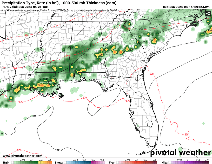
Sunday – A 30 percent chance of showers and thunderstorms. Partly sunny, with a high in the upper 70s.
[wpcode id=”41149″]


