Hot and wet is the forecast for CONUS this weekend. The headline for the southern US is heat throughout the next week. As for the Great Plains we will be seeing some rain in the midwest today and tomorrow and that storm system will shift to the east for wet weather in the midwest and northeast early next week.

[wpcode id=”41149″]
Heat Across Southern US
Summer is kicking into high gear for the Southern parts of the US especially in Texas. High temperatures will reach over 100 degrees in many parts of Texas and the south. With a ridge building across Mexico a lot of that heat will travel up into the southern US. High humidity is also likely across the area which will make the heat feel even hotter.
As the week progresses we won’t see much change in temperatures due to the stationary ridge staying across the south. Humidity will drop which will make it feel cooler but the average highs will stay hot. As summer is going into high gear be aware of the heat index and stay hydrated outside!
[wpcode id=”41149″]
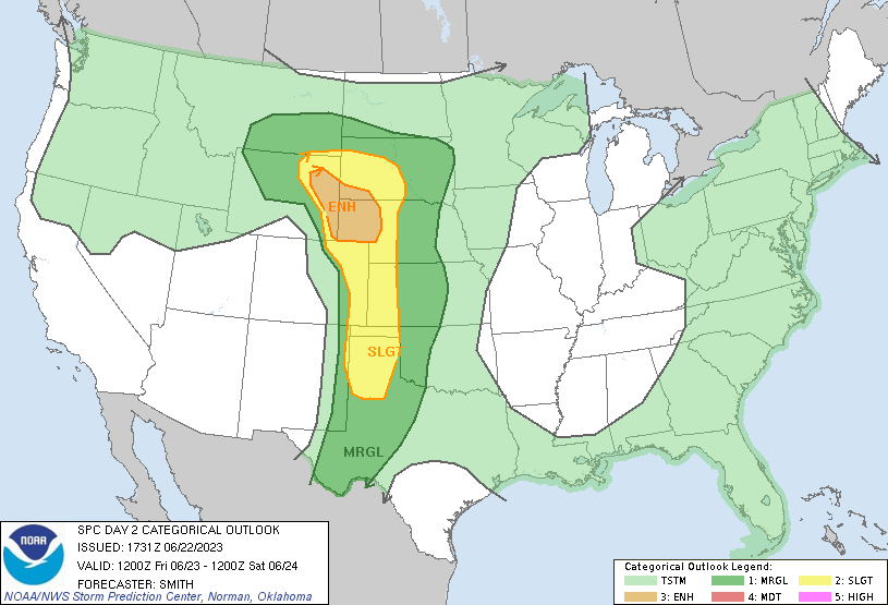
Rain Across Plains Region
Rain is forecasted across the Great Plains today into the weekend. The chance of some thunderstorms is high as well as flash flooding in the region. With the two ridges sandwiches the plains region the chances of severe storms is increased. This storm system will move out of the area over the next two days.
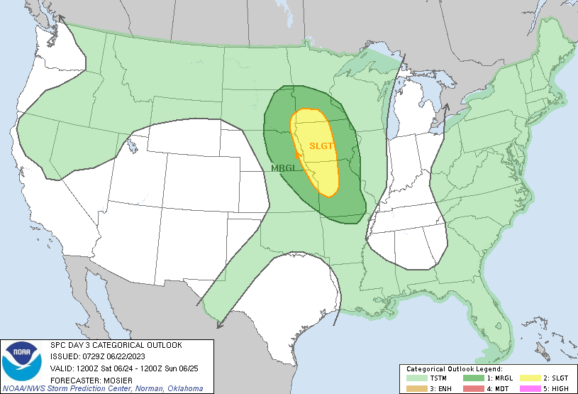
This storm system is going to make its way across the US over the course of the weekend hitting the east coast early next week. This rainfall will be beneficial for the region as there have been many drought warnings for the area. The only problem is if the rainfall is heavy in a short period of time, more flash flooding will occur due to the dryness of the ground not being able to soak up all the moisture in a short amount of time.

[wpcode id=”41149″]
Southeast Floods and Rain
Today we are still seeing some lingering showers after yesterday’s rain events. Rain will stay around with some possible severe thunder showers in Florida. With the consistent rain the chance of flooding, especially in coastal regions, is high. The upper low we have been monitoring will be sticking around awhile but as it starts to shift slightly we will see less organized storms in the region going into next week. A pattern change may occur in the long term but as for now we are stuck in a stormy pattern.
[wpcode id=”41149″]
Northeastern Rain Ahead
The Northeast is forecasted to see some of the rain coming from the midwest starting Saturday. Some isolated thunderstorms are possible. The rain will last over the weekend into early next week. The rainfall will be good for the dry northeast. A very stormy pattern will be over the northeast extending down into the DC area. Most of the northern US will see high rainfall amounts which is a positive for the currently dry region.

[wpcode id=”41149″]
Travel Concerns for Today
Traveling across Interstate 80 this weekend may be bad luck as storm systems starting in the Great Plains region move across the I-80 corridor towards the east coast. Traveling across many interstates and roads in the midwest and east coast have the potential for flooding. Be careful about hydroplaning when traveling on highways. For the southern coastal regions watch out for flash flooding across roads. Visibility in these areas will be low due to the heavy rainfall and wind so stay off the roads if at all possible. On the flip side in Texas you want to make sure your AC is working and make sure you don’t leave anything in the car that could melt!
Extended Outlook
Looking ahead rain will continue in the northeast early next week. Mid week we will see some showers across the plains again into the midwest as this stormy pattern of lows continues. These storms are likely to move into the southeast as the week progresses. Most of the west coast will be dry and sunny. Temperatures will stay consistently hot in the south with the humidity lasting awhile.
Conclusion
As the stormy patterns spread across the northern US showers are in the forecast for much of the eastern US. Flooding is a main concern in the south with hot temperatures stretching across much of the south. As summer continues the moisture in the south will follow suit. Activity weather is the main focus for next week so be sure to keep updated!


