Heat and storms remain the headline today as the West bakes under the blistering sun and the east sees storms across the region. This unsettled pattern is thanks to the Ridge located in the West and our Trough of Low pressure in our East. This pattern allows shortwaves to traverse the flow between them igniting storms in their paths. This pattern should persist as summer time means our upper level waves have little want to change due to the long wavelengths of these features, but in the far off reaches of the models there is a change being shown. Let’s dive into the region specific details below!
Heat Out West
Heat continues to build out West as the ridge sits right over the region. Cloudless skies and mountain winds make for hot and dry conditions overspreading the region leading to temperatures in the upper 90s to low 100s. Unlike the heat in the South, this heat is a dry heat rather then a wet heat meaning the humidity will be lower, but the dangerous conditions will persist. Some areas in the West will see little night time relief as locations struggle to cool below 90 or even 100 degrees at night as the heat remains trapped near the surface. Those who must work outdoors should limit their times and remain hydrated as heat related illness could set in quickly. There is also an elevated fire concern along the Arizona/Utah Border which will need to be monitored as these dangerous heat conditions will also set up dangerous fire conditions as well. Dry fuels, gusty dry winds, and oppressive temps will make any fire fighting difficult or even dangerous.
Storms Across the Midwest and East
Unsettled weather continues across the Midwest and Eastern US where shortwaves continue to provide lift and generate storms across the region. The most likely areas to see severe storms tomorrow is from Arkansas/Tennessee up through the Northeast. The most likely hazard for these storms is damage winds and hail, but an isolated tornado cannot be ruled out. Further West along the Rockies another severe storm risk area is present as a cluster of severe storms forms in lee of the Rockies. uncertainty exists with how these storms will evolve with time as they could form into an MCS or they could dissipate. We will know more once we have some measurements for our environment.

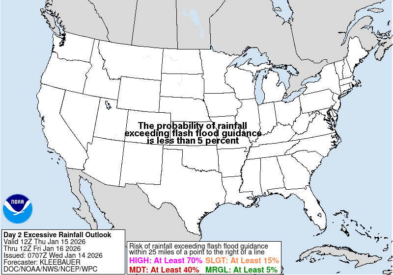
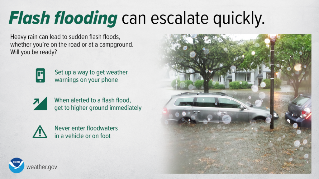
These storms could posses a flooding threat in areas such as Vermont and Mississippi where already saturated ground will make already flooded regions very susceptible to flooding. Residents of these regions (highlighted in the moderate risk areas below) should remain extra vigilant and listen to local officials when traveling or if they live in the area as flooding can be extremely hazardous.
Extended Outlook
Looking ahead, this pattern will remain in place for the next week or so. Embedded shortwaves will continue to traverse the jet stream providing storms across the Rockies, Midwest, and East while heat continues to build across the West and Southwest. This pattern won’t look to change until late next weekend where we may see a breakdown of the upper low begin which will permit more ridging to take place across the CONUS. This may lead to heat building across the region in late July. This remains extremally uncertain however, so check back for regular updates!
Travel Outlook
Delays at airports in the eastern 2/3 of the country due to showers and thunderstorms may occur over the next week, as several places will see substantial opportunities for precipitation. Dangerous travel conditions in the northwest may exist with repeated rounds of showers and thunderstorms in the region. These storms may bring flood conditions to the area over the coming days especially with the abundance of moisture in the air available for these storms to utilize. Otherwise, heat will be the other noticeable concern in the western US over the next 7 days and safe travel measures to avoid heat impacts should be taken in this region of the country.
Conclusion
Storms continue across the Midwest and East leading to higher flooding concerns and increased travel risks. Heat will continue to build across the West and Southwest creating dangerous conditions to be outdoors. Readers within regions of repeated flooding should continue to remain aware of the impacts the floods may have on travel and on their nearby communities as these conditions continue to remain at times lift threatening. Those who work outdoors out west should remember to remain hydrated and take breaks in order to combat the effects the heat may have on their bodies.


