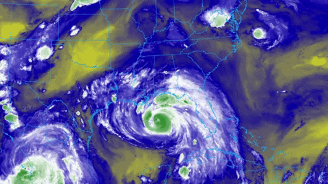
Tropical Storm Ida continues to drift north across the counties of Mississippi. Heavy rain, flash flood warnings and power outages will continue for the next few hours before Ida finally moves off to the north.
Here is a look at the radar as of about 5:50am

A new Tornado watch was issued by the National weather Service, and it will run until 4pm this afternoon. This covers a handful of counties across southeastern Mississippi and southwestern Alabama, as well as the Florida panhandle.

The biggest concern for most spots during the next 6-12 hours will be flooding rains and wind gusts strong enough to knock down trees given the very wet ground.
And that will lead to more power outages.
Thankfully, so far, for the folks in Mississippi and Alabama, the power outages haven’t been as widespread as anticipated.
And just a quick note, not really related to anything, but an interesting statistic of Ida. The push of water into the mouth of the Mississippi from Ida slowed the flow of the river down to a halt and actually started to backup the water upstream.
In essence, the river flowed ‘backward’ for a short period of time.


