We have one more pleasant night ahead of us as the north winds wane and the high pressure system passes east of us. Conditions will shift to more warm and humid as we reach the weekend, however, this doesn’t mean the fire weather will go away for a little while. There will be a chance for rain Monday and Wednesday, but we’ll have to see how much meaningful precipitation there is starting Monday for the fire weather hazard to lift.
Temperatures will be in the low 50s tonight, however this will be the last time we’ll see it for a while. As we gear towards the weekend, we’ll gradually reach the low to upper 80s during the day and mid 60s at night. The winds will shift towards the south and gust up to 20mph for several days thanks to the gradient from the high pressure zone moving towards the Atlantic and a slowing cold front that’s moving from the central Plains to the Great Lakes. If you’re having an Easter Egg hunt or a picnic on Friday or Saturday, I would batten down anything that might blow away. If you’re burning anything, please take extra precautions as I’m sure burn bans are right around the corner.
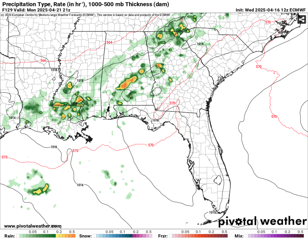
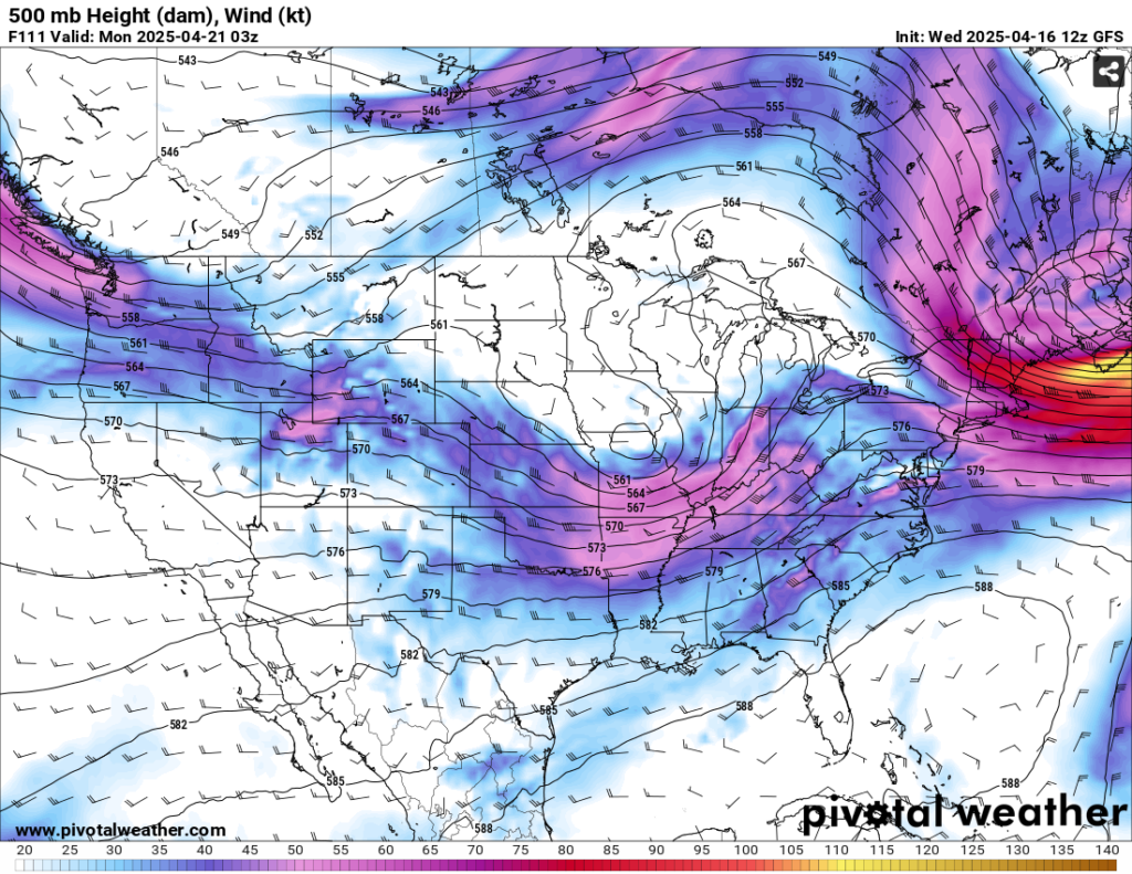
Easter Sunday looks to be pretty warm, cloudy, and breezy. The Storm Prediction Center has placed a slight risk on much of Louisiana, Arkansas, and northwestern Mississippi, however this looks to be fairly limited due to the low moving further northeast and breaking up the line. This system will slowly move east into our neck of the woods by Monday afternoon bringing a decent amount of rain to our dry soil. While this is still a bit far out, we may receive around 3/4 of an inch to an inch in some areas depending on whether we get thunderstorms. This looks to fizzle out as it battles the Atlantic high.
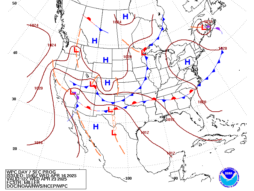
Behind it is another low pressure system out of the mid-Plains. Another slight chance of rain looks to happen Tuesday with some daytime convection and south winds. We’ll feel slightly cooler outside with the mix of clouds, but we’ll still be in the low 80s during the day and lows in the low 60s. By Wednesday, we’ll see another round of rain and thunderstorms moving in but slowly as the front stalls out. This will continue on throughout the rest of the week.
[wpcode id=”41179″]
Regional Day-to-Day Forecast
Tonight – Clear, with a low in the low 50s. South wind around 5 mph becoming calm.
Thursday – Sunny, with a high in the low to mid 80s. Light southeast wind becoming south 5 to 10 mph in the morning. Winds could gust as high as 20 mph.
Thursday Night – Increasing clouds, with a low around 60. South wind 5 to 10 mph, with gusts as high as 20 mph.
Friday – Mostly sunny, with a high in the upper 80s. South wind 5 to 15 mph, with gusts as high as 25 mph.
Friday Night – Mostly cloudy, with a low in the mid 60s. South southeast wind 5 to 10 mph, with gusts as high as 20 mph.
Saturday – Mostly cloudy, with a high in the mid 80s. South wind 5 to 15 mph, with gusts as high as 25 mph.
Saturday Night – Mostly cloudy, with a low in the mid 60s. South southeast wind 5 to 10 mph, with gusts as high as 20 mph.
Sunday – Mostly cloudy, with a high in the mid 80s. South wind 5 to 10 mph, with gusts as high as 20 mph.
Sunday Night – A 20 percent chance of showers after midnight. Mostly cloudy, with a low in the mid 60s. South wind 5 to 10 mph, with gusts as high as 20 mph.
Monday – A 40 percent chance of showers and thunderstorms. Partly sunny, with a high in the low 80s.
Monday Night – A 40 percent chance of showers. Mostly cloudy, with a low in the low 60s.
Tuesday – A 20 percent chance of showers and thunderstorms. Partly sunny, with a high in the low 80s.
Tuesday Night – A 30 percent chance of showers. Mostly cloudy, with a low in the low 60s.
Wednesday – A 30 percent chance of showers and thunderstorms. Partly sunny, with a high in the low 80s.


