It’s been especially warm and humid for the past several days with an early taste of summer upon us. The good news is that later on this week, the north winds will move through giving us a break from the humidity. Storm chances look fairly slim by the time they pass I-20, but it’ll be something to look out for.
Today and tonight we’ll see highs in the low 90s and lows in the low 70s with winds out of the south. 20mph wind gusts are possible into tomorrow before the main system arrives.
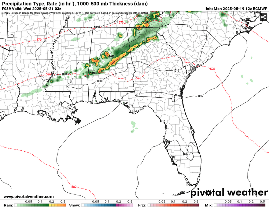
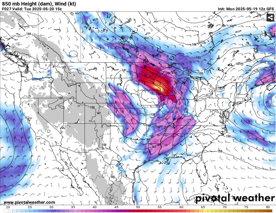
Things are slowing down a bit in the atmosphere, but the severe weather still rages. Much of the mid-South to the Ohio River Valley will see severe weather tomorrow due to this low pressure system. Not only that, flooding is also a major concern. For us, we’re on the cusp of the Marginal (1/5) risk, but areas north of I-20 will see more of the strong and severe weather. A few storms will move in towards the evening hours with the stronger storms developing in Alabama. Areas in the marginal risk may see some high winds and possible hail.
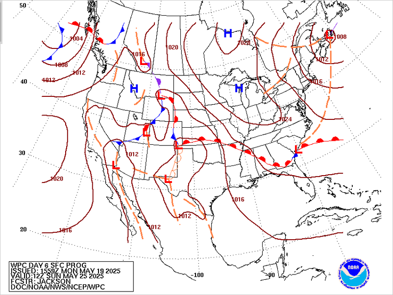
Afterwards, we’ll have a pretty dry period through the week and into the weekend. North and northwesterly winds will prevail due to a channel of cooler, dry air in the mid and lower levels left from the surface low and incoming surface high from Canada. The winds won’t have a massive cooling effect, but they’ll help lower the humidity for the next few days. Afterwards, temperatures and heat indices will start to rise a bit by the weekend. Highs will climb back into the low 90s and lows will reach the mid to upper 60s.
//Courtesy: Pivotal Weather
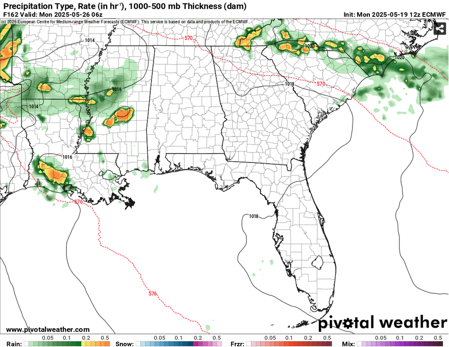
One other thing to watch out for by the end of the weekend is another incoming cold front. We may see the last of the warm front on Sunday, but by Monday we’ll have another series of storms, this time hanging around a little longer. The Climate Prediction Center suggests some cooler than average temperatures, but this may be due to the incoming rain.
[wpcode id=”41179″]
Regional Day-to-Day Forecast
This Afternoon – Mostly sunny, with a high in the low 90s. South wind around 15 mph, with gusts as high as 20 mph.
Tonight – Partly cloudy, with a low in the low 70s. South wind 5 to 15 mph, with gusts as high as 20 mph.
Tuesday – Mostly sunny, with a high in the low 90s. South southwest wind 5 to 15 mph, with gusts as high as 25 mph.
Tuesday Night – A 20 percent chance of showers and thunderstorms before midnight. Partly cloudy, with a low in the low 70s. South southwest wind 5 to 15 mph, with gusts as high as 20 mph.
Wednesday – Sunny, with a high near 90. North wind around 5 mph.
Wednesday Night – Partly cloudy, with a low in the mid 60s. Calm wind.
Thursday – Mostly sunny, with a high in the low 90s. Calm wind becoming west around 5 mph in the afternoon.
Thursday Night – Mostly clear, with a low in the low to mid 60s. Northwest wind around 5 mph becoming calm in the evening.
Friday – Sunny, with a high in the upper 80s. Calm wind becoming north northeast around 5 mph in the afternoon.
Friday Night – Mostly clear, with a low in the low to mid 60s.
Saturday – A 20 percent chance of showers and thunderstorms. Sunny, with a high near 90.
Saturday Night – Mostly clear, with a low in the mid 60s.
Sunday – A 20 percent chance of showers and thunderstorms. Sunny, with a high in the low 90s.
[wpcode id=”41149″]


