The heat continues as temperatures reach the mid 90s during the day and heat indices reach the low and mid 100s across much of the Deep South. A heat advisory is still in effect for much of Mississippi until tomorrow. The only remedy to cool it off is our daytime convection leading to the afternoon thunderstorms. We still have a chance for those thunderstorms for the next several days, however we’ll build up to some higher rain chances by the weekend.
The SPC has placed us under a marginal risk for severe thunderstorms on Thursday due to the MCS. Some strong storms are possible with damaging winds possible.
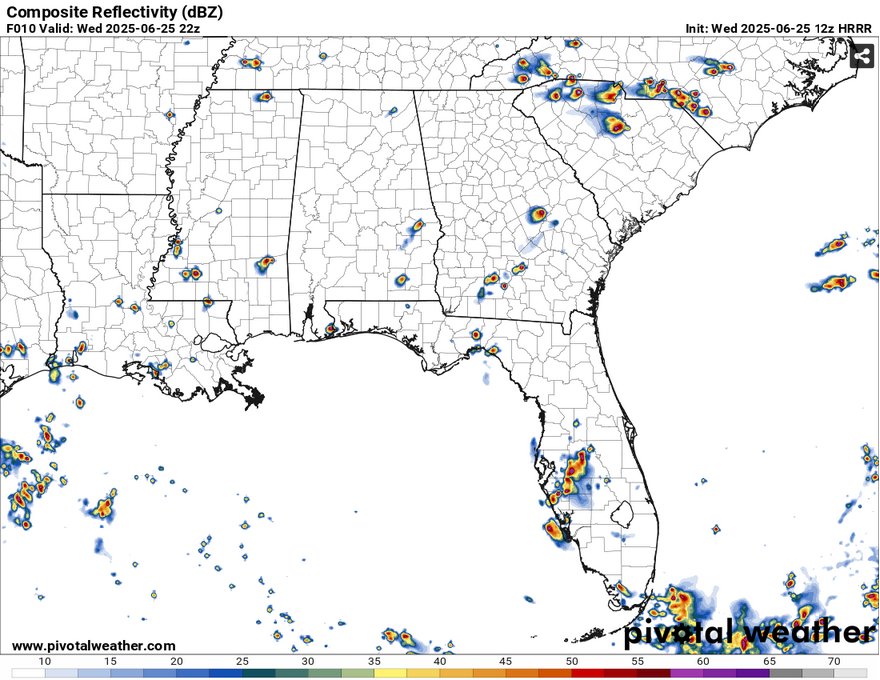
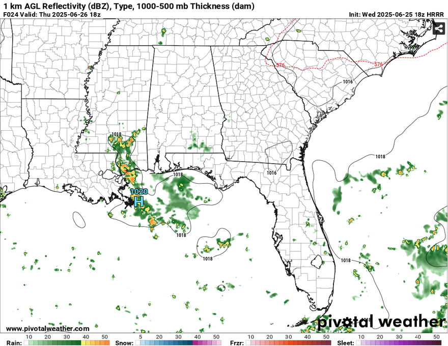
The center of the surface high is currently overhead of us in Mississippi which will increase the heat stress and decrease thunderstorm development. There are already a few storms developing across the state, however they have dissipated a bit quicker than usual due to the high’s location. Overnight, a shortwave system will move in from the northeast bringing an MCS to Georgia, Alabama, Florida, and eventually Mississippi and Louisiana by the early afternoon. More storms will press on westward as the afternoon progresses. A few storms may linger into the overnight hours.
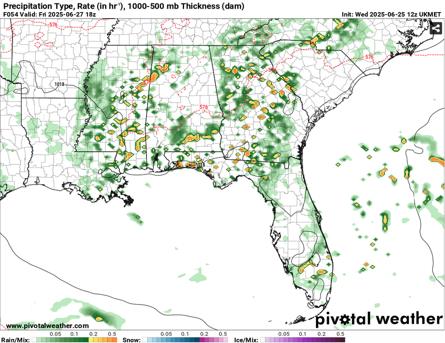
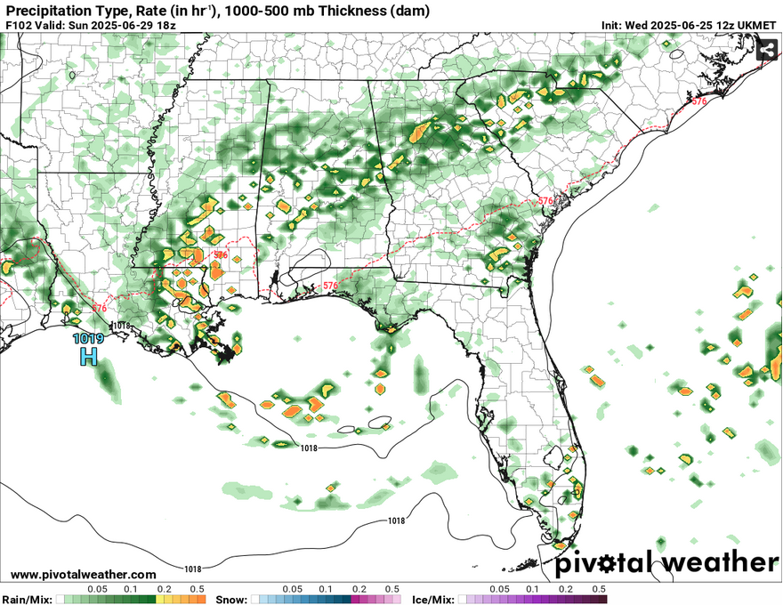
Friday also touts a possible shortwave moving in bringing more afternoon thunderstorms. Heat stress concerns may be a little less, but it will still be hot as usual. Saturday and Sunday will both be a similar story as a surface front begins to form. More storms will follow during the early afternoon each day with highs in the low to mid 90s and lows in the low to mid 70s. The severe threat looks fairly low, bu

[wpcode id=”41179″]


