Hello everyone! Fortunately, today and the rest of the week are looking like regular summertime conditions, with low 90s temperatures and lower afternoon/evening rain and storm chances. So, let’s dive in and take a closer look at what’s going on:
Today’s Overall Setup:
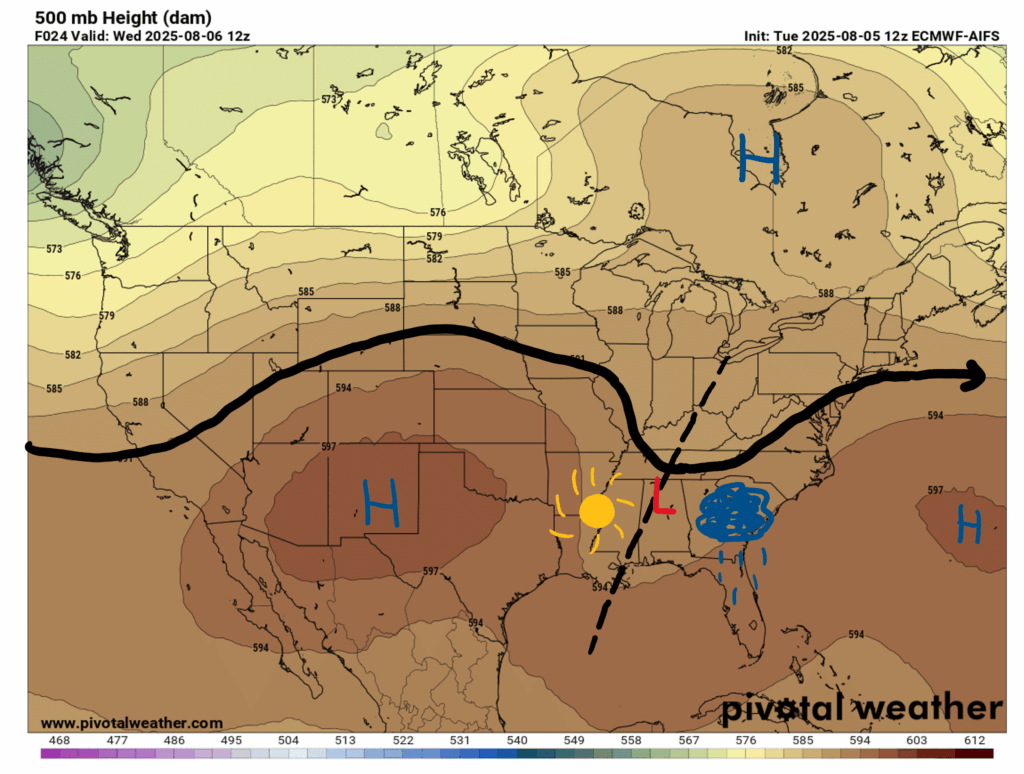
Looking at our upper-air chart, there is some troughing to stick around for the rest of the work week, then some mild ridging to occur over us during the weekend. With how our trough axis lines up, we should luck out and miss most of the rain today, with the exception of a few light, scattered afternoon and evening showers popping up.
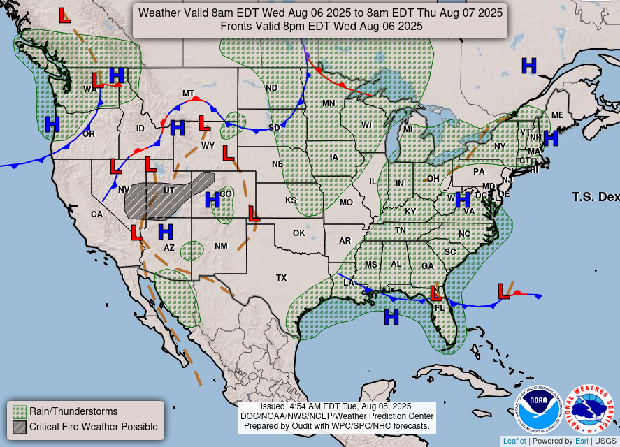
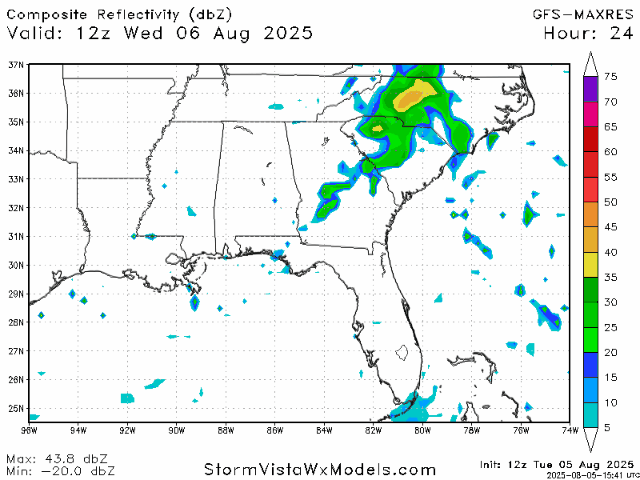
Moving toward the surface, there is a cold front coming through and dipping down into the Gulf, so rain and storms are forecasted for today. This does not mean that every location in our forecast region will receive showers or thunderstorms, but some will. So, keep an eye on the radar today and don’t be surprised by a quick shower in the afternoon or evening, especially if you are located near the Gulf Coast.

Today’s Weather
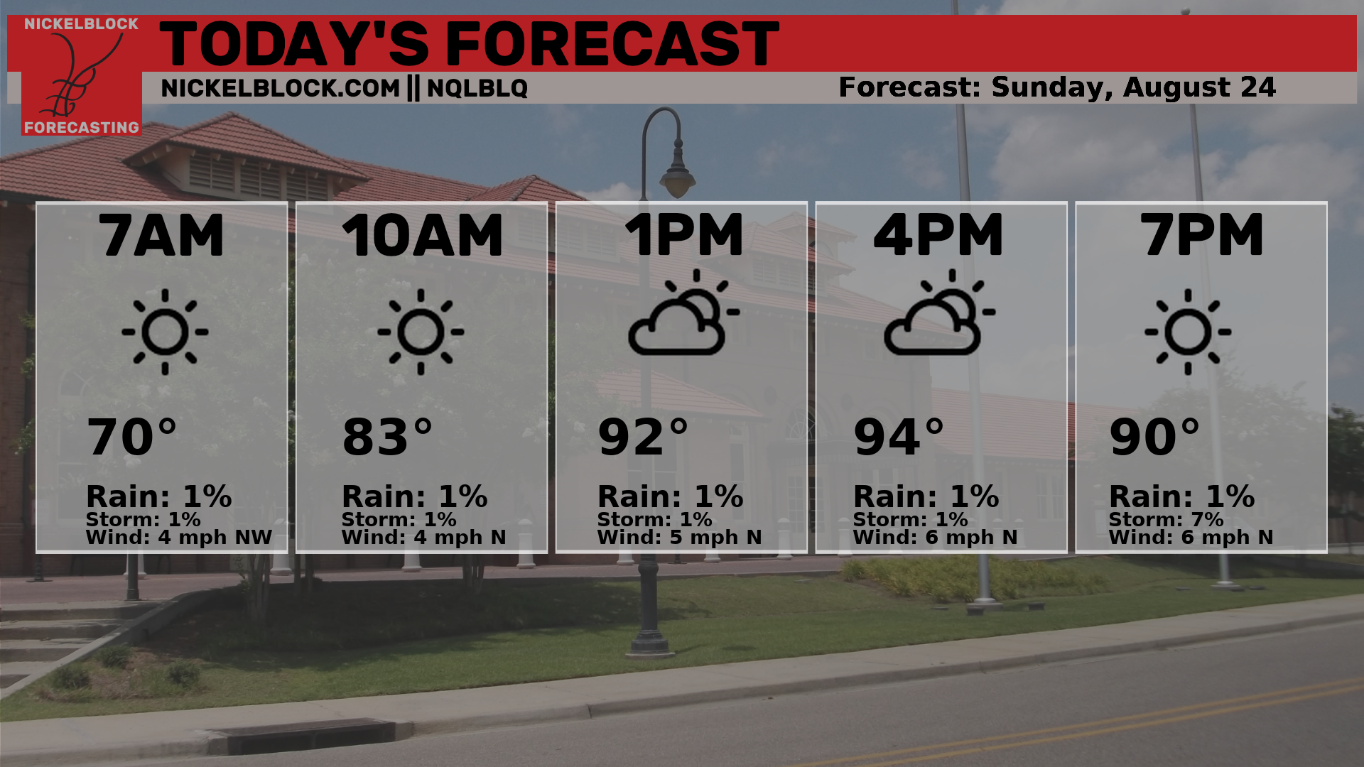
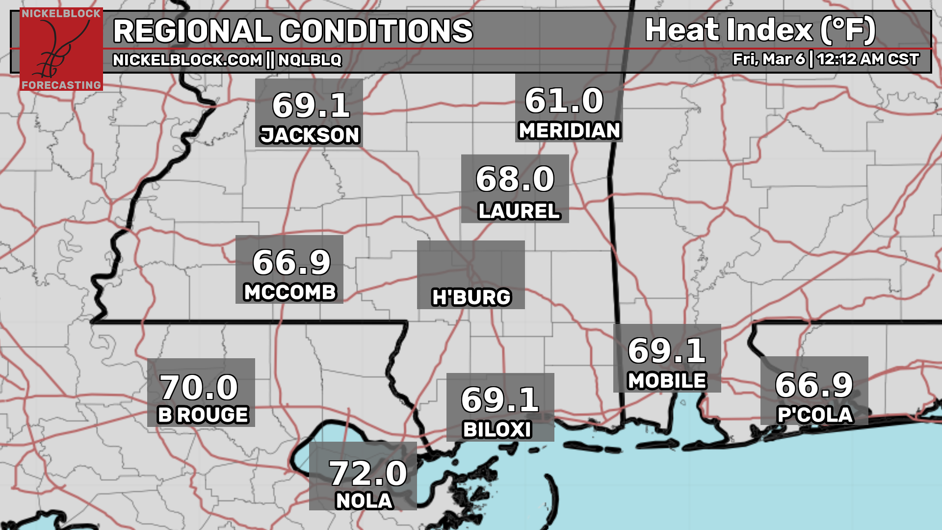
Actual temperatures will reach the low 90s today, and with humidity, experienced temperatures will reach around 105 degrees in some areas today, particularly around the Hattiesburg area. Check out the current actual and “feels like” temperatures in your area here:

As I discussed earlier, there is a possibility for scattered pop-up showers and thunderstorms today, but nothing too crazy. Here’s the radar hour-by-hour for today, starting at 8am:
The Rest of the Week’s Weather

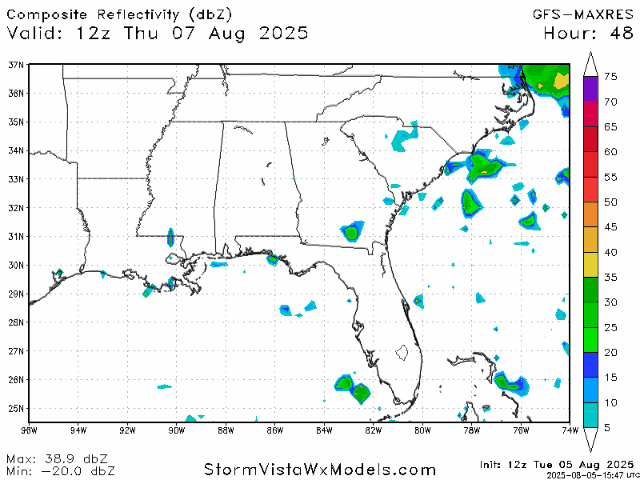
The troughing pattern in the upper-atmosphere that we are currently experiencing will persist through tomorrow and Friday, so we will likely be experiencing a similar weather pattern to today. High temperatures will stay in the low 90s, and scattered showers and thunderstorms will continue tomorrow afternoon and into the evening. Chances for showers will diminish a bit on Friday, and most places either won’t experience storms at all or experience very little precipitation that day.
Weather for the Weekend and into Next Week

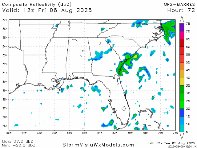
Over the weekend, a ridging pattern will begin to build in over our region, so slightly increased temperatures would not come as a surprise next week. Otherwise, this same summertime weather pattern should continue for the most part, with a 30-50% chance of showers and thunderstorms overall.
Regional Day-to-Day Forecast:
Today: Mostly sunny during the day, then a chance for showers and thunderstorms in the afternoon. Highs in the low 90s. Chance of precipitation 40%.
Tonight: Chance of showers and thunderstorms early in the evening, then mostly clear. Lows in the low 70s. Chance of precipitation 40%.
Thursday: Mostly sunny during the day, then a chance for showers and thunderstorms in the afternoon. Highs in the low 90s during the day and lows in the low 70s at night. Chance of precipitation 40%.
Friday: Mostly sunny during the day, then a chance for showers and thunderstorms in the afternoon. Highs in the low 90s during the day and lows in the low 70s at night. Chance of precipitation 30%.
Saturday: Mostly sunny during the day, then a chance for showers and thunderstorms in the afternoon. Highs in the low 90s during the day and lows in the low 70s at night. Chance of precipitation 50%.
Sunday: Mostly sunny during the day, then a chance for showers and thunderstorms in the afternoon. Highs in the low 90s during the day and lows in the low 70s at night. Chance of precipitation 50%.
Monday: Mostly sunny during the day, then a chance for showers and thunderstorms in the afternoon. Highs in the low 90s during the day and lows in the low 70s at night. Chance of precipitation 50%.
Tuesday: Mostly sunny during the day, then a chance for showers and thunderstorms in the afternoon. Highs in the mid 90s during the day and lows in the low 70s at night. Chance of precipitation 30%.
Wednesday: Mostly sunny during the day, then a chance for showers and thunderstorms in the afternoon. Highs in the mid 90s during the day and lows in the low 70s at night. Chance of precipitation 30%.


