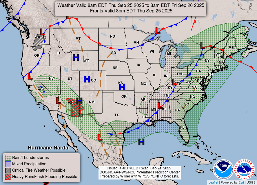
It took a little while for it to get here, but the rain finally made it! It won’t be here for a long time, but we’ll get a some across much of Louisiana, Mississippi and Alabama in the next 24 hours. The flash flood warning has subsided, but we’ll still get a good second round of rain as we reach the overnight hours tonight. Afterwards, we’ll have a humid evening ahead as the front hasn’t made it quite yet. Expect temperatures in the low 70s much like this morning.
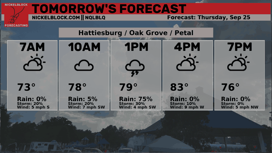
Medium range models are still in disagreement about any possible rain Thursday, but I think most of the rain will hit us until the mid-morning with a possible shot in the afternoon. Otherwise, we’ll have some low clouds across the area. Highs will reach the mid 80s with winds shifting to the west.

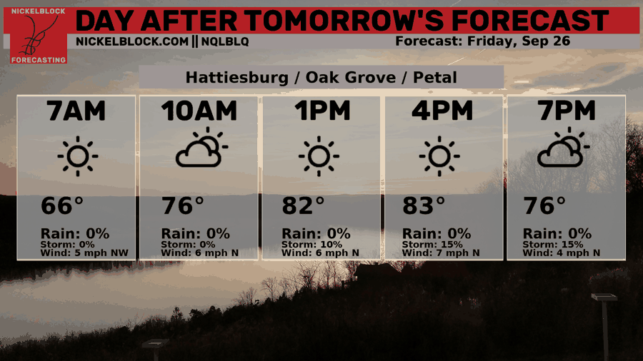
Afterwards, we’ll have an extended period of dry weather ahead starting Friday. It’ll be slightly more pleasant than the past few days we had since temperatures are dropping to the mid to upper 80s and lows in the low 60s into the weekend. Dewpoints will drop into the mid 50s which means the humidity is down quite a bit. Winds will also pull out of the north from Friday into the weekend. Any kind of outdoor events will be quite nice, just don’t forget to bring some sunscreen and water with you to keep cool.
The Tropics
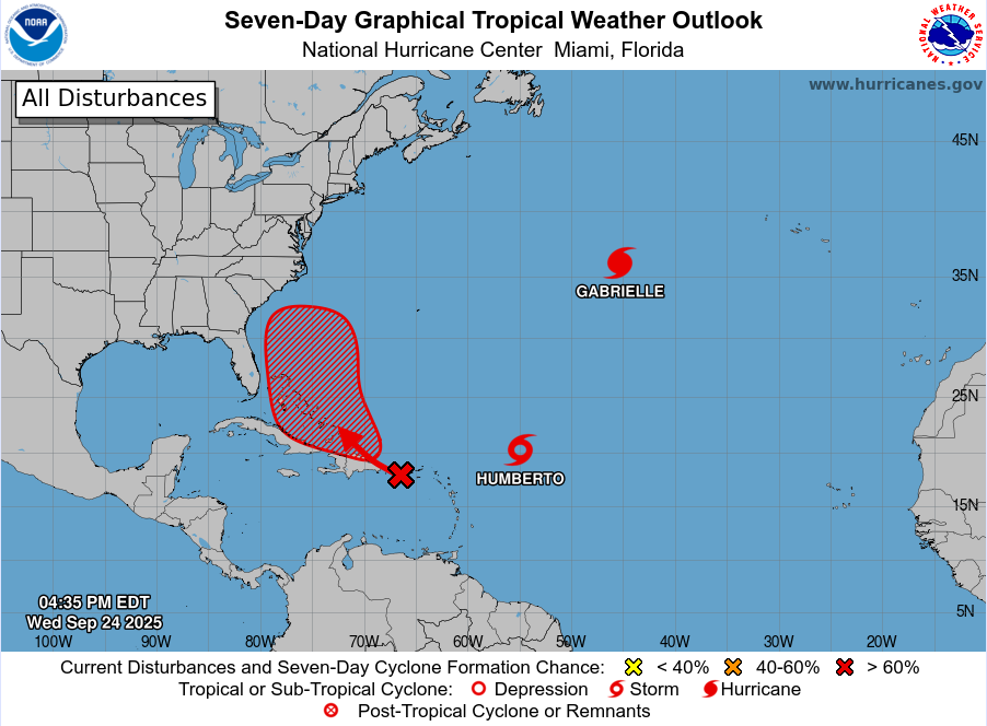
The tropics have been fairly active with three systems currently active across the Caribbean and Atlantic. Tropical Storm Humberto is moving slow, but will eventually become a hurricane. The track so far looks to move it northwest before it may hook east just as Gabrielle did. Another unorganized system just west of the Lesser Antilles will gain strength as it moves over the Greater Antilles and may possibly move in the same direction. Gabrielle is forecast to move east northeast to the northeastern Atlantic, possibly over to Europe.
Tomorrow’s Forecast
Friday’s Forecast