The isolated showers and storms we had this afternoon are all but gone except for some that are encompassing the New Orleans area right now. The good news is, behind it is a decent sized front! That means we’ll get some cooler temperatures for the next several days as we roll into the weekend. For those with outdoor plans, it’s going to be pretty nice outside!
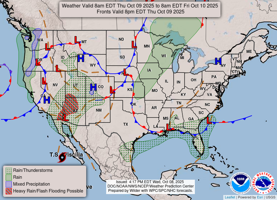
There will be a more northerly flow as a large dome of high pressure builds behind the front. This means conditions will be much drier. Not only that, the temperatures will fall back a bit with the dewpoint drops. Dewpoints will be in the low 60s at the end of the week to the low 50s by the weekend.

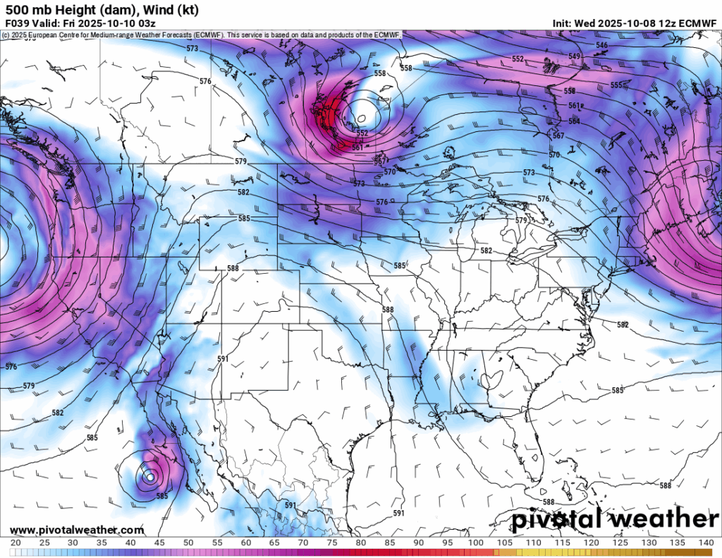
The upper atmosphere will also provide some cooler air as a large closed ridge will reside in the southwest US for the foreseeable future. This will also block off some possible rain, so there is a con to this setup as well. Overall, it’ll keep things drier and eventually warmer as we move into next week.
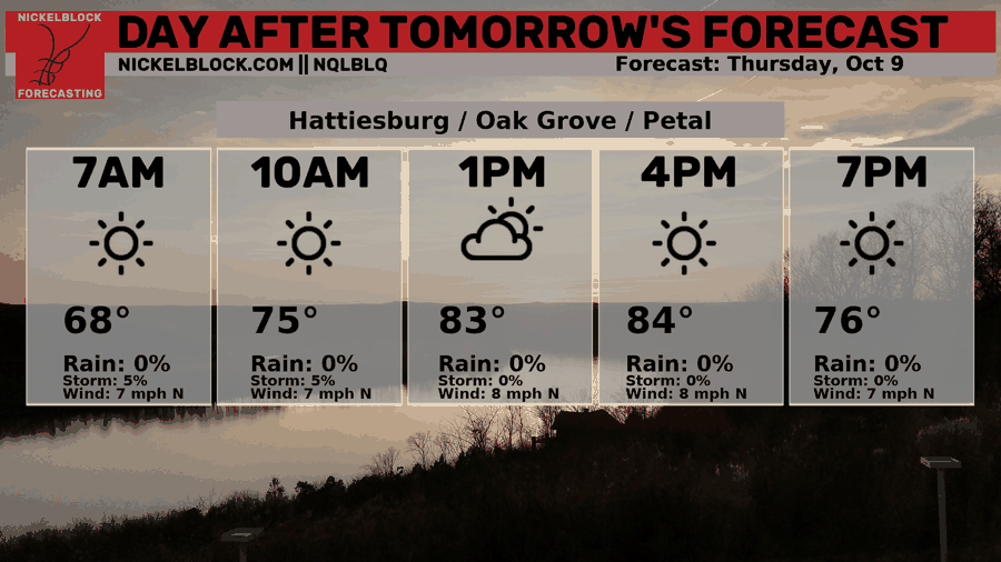
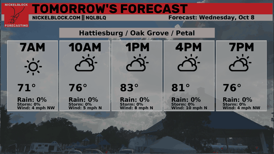
We’ll fall into the mid 60s tonight before reaching the mid to upper 80s tomorrow with few clouds and drier conditions. As we roll into Friday and Saturday, it’ll be good to know that we’ll reach the upper 50s at night and low 80s during the day. Yep, the upper 50s! Enjoy the cooler nights whether it’s football or just hanging out in the backyard. Sunday will be slightly warmer as temperatures reach the mid 80s and fall into the low 60s. Do expect some slightly windy days as well with some gusts reaching up to 20mph.
Tropical Update
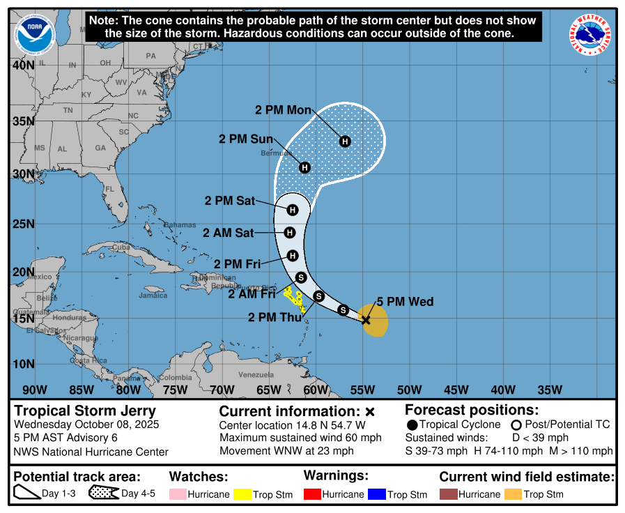
So the good news is that Tropical Storm Jerry is moving out to sea. Considering the more dynamic setup that is moving out from the southeast and mid-Atlantic currently, the spaghetti models are showing Jerry hooking north and east and moving to the Atlantic. It will likely reach low hurricane status as it inches closer to Bermuda. Tropical storm warnings are in effect for the northern Lesser Antilles and I wouldn’t be surprised to see some watches and/or warnings for Bermuda as well.
Tomorrow’s Forecast
Friday’s Forecast