It’s been an absolutely gorgeous day outside with hardly a cloud in the sky and temperatures in the low 80s. It doesn’t feel quite like Fall yet, but it’s pretty close. The good news is, this weather is here to stay for a while!
//Courtesy: Pivotal Weather
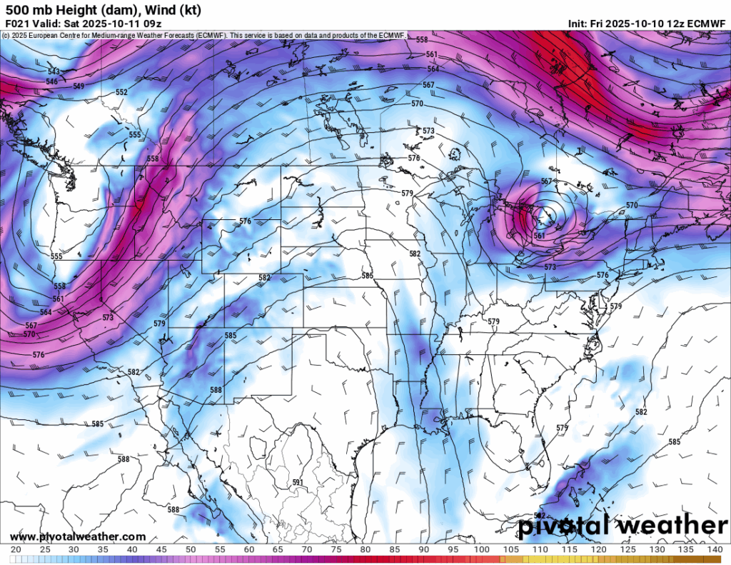
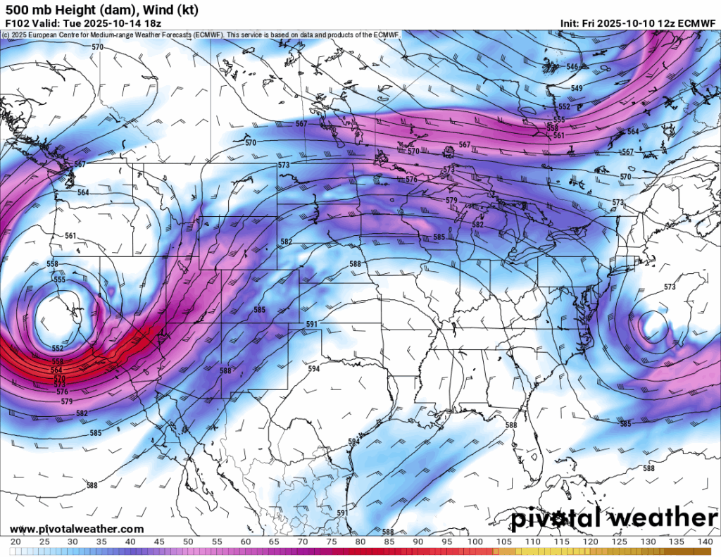
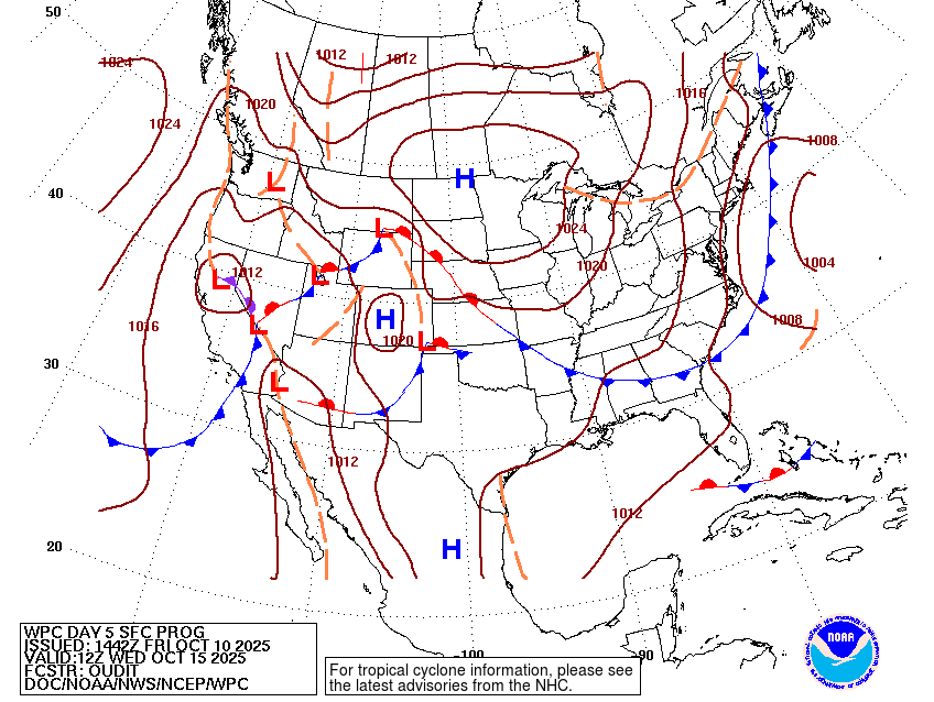
The synoptic setup shows an amplified trough-ridge-trough pattern over the Continental US and this will slowly evolve over the next few days into a closed ridge trough pattern in the same area. As it evolves, it will keep the pattern across the Deep South nearly the same for several days as north winds will dominate and keep conditions drier overall. Later in the week, however, this pattern will break down as the trough ejects to the northeast and a more linear pattern takes over most of the US.

The weekend will be fairly same-y as temperatures fall into the mid to upper 50s and rise to the mid 80s during the day. The good news, dry conditions, so the humidity won’t be a big factor. If you’re outside during the weekend, enjoy it! But also still wear some sunscreen. It’ll be a beautiful weekend overall.
The start of the week will be fairly warmer with sunny skies and temperatures in the upper 80s. Lows will be in the upper 50s. By the mid-week, we’ll have a bit of a warm-up with temperatures reaching the mid to upper 80s as the winds shift towards the East. Another front will move south, however no rain will move in. Otherwise, low temperatures will increase into the low 60s and we’ll see some more clouds move in closer to the weekend.
Models are still in disagreement about the week after next, however some warmer temperatures may be possible before another main front moves in. The ECMWF model shows a decent looking shortwave trough that could bring some significant weather while the GFS is stalling it out towards the west coast and weakening it before it moves towards the Great Plains. For now, we’ll have to wait a while before they come into agreement.

Regional Day-to-Day Forecast
Tonight – Clear, with a low in the upper 50s. North wind around 5 mph.
Saturday – Sunny, with a high in the low 80s. North northeast wind 5 to 10 mph, with gusts as high as 20 mph.
Saturday Night – Clear, with a low in the mid 50s. North wind around 5 mph becoming calm in the evening.
Sunday – Sunny, with a high in the mid 80s. Calm wind becoming north around 5 mph in the afternoon.
Sunday Night – Clear, with a low in the mid 50s. North northeast wind around 5 mph becoming calm.
Monday – Sunny, with a high in the upper 80s. Calm wind becoming north around 5 mph in the afternoon.
Monday Night – Clear, with a low in the upper 50s. North northeast wind around 5 mph becoming calm.
Tuesday – Sunny, with a high in the mid to upper 80s. North northeast wind 5 to 10 mph.
Tuesday Night – Clear, with a low in the low 60s. North northeast wind around 5 mph becoming calm in the evening.
Wednesday – Sunny, with a high in the upper 80s.
Wednesday Night – Clear, with a low in the low 60s.
Thursday – Sunny, with a high in the upper 80s.
Thursday Night – Clear, with a low around 60.
Friday – Sunny, with a high near 87.


