Happy Halloween! It feels like Fall which is great especially for those trick-or-treating or going outside tonight! The winds have died down with the passing of the front and we’ll have a cool day overall with temperatures in the mid 60s. Overnight, we’ll fall into the low 40s again.

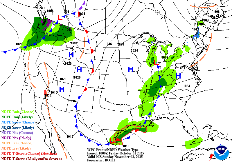
Saturday will be another cooler day with increasing clouds from the incoming low pressure system near the Gulf. As the low pressure system in the Great Lakes weakens, the low in the Gulf will move northeast bringing rain to the Gulf, however it will struggle to bring in moisture further inland. Some areas of central and north Mississippi may see some rain, but south Mississippi and Alabama will only see some drizzle or light rain. Highs in the mid 60s and lows in the upper 40s.
After the front moves out, we’ll actually see temperatures gradually warm up. Sunday will be our only cooler day with temperatures in the low to mid 60s due to the cloud cover. Afterwards, we’ll slowly climb from the upper 60s and upper 40s on Monday to the low 70s and upper 40s by Wednesday.
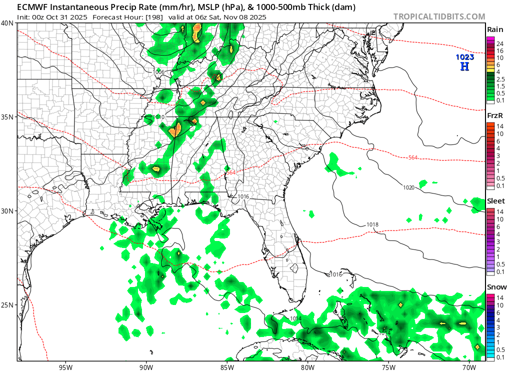
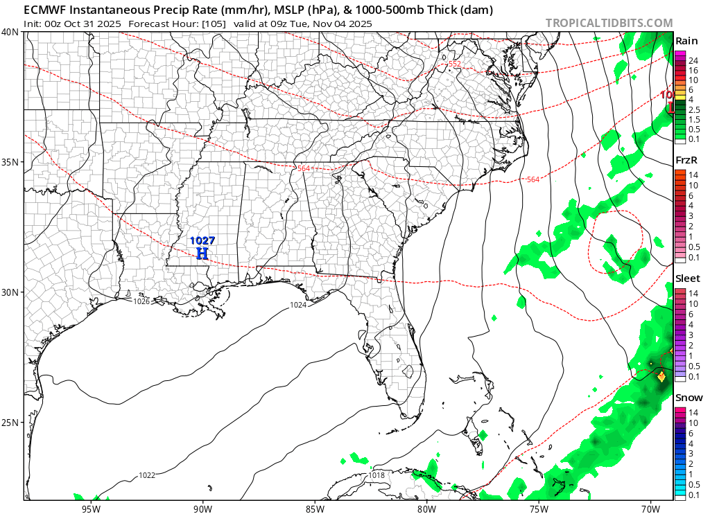
We’ll have a slight change of the guard on Wednesday as a surface low moves through the Great Lakes region and another high pressure system moves in from the Plains. This will bring in more southerly winds adding to the temperature increase towards the weekend. We’ll reach the upper 70s during the day and low 50s at night. Another surface low is expected to move in Friday night, however so far models are keeping the moisture flow further north, so rain chances are slimmer from the Pine Belt southward. This can change in the next several days, but I think with the extent that this system is reaching, it will struggle a bit to bring in enough moisture to our neck of the woods.

Regional Day-to-Day Forecast
Today – Patchy fog before 10am. Otherwise, sunny, with a high in the mid 60s. Calm wind becoming north northwest around 5 mph in the afternoon.
Tonight – Clear, with a low in the low 40s. Calm wind.
Saturday – Mostly sunny, with a high in the upper 60s. Calm wind becoming north northeast around 5 mph.
Saturday Night – A slight chance of sprinkles. Mostly cloudy, with a low in the upper 40s. Calm wind.
Sunday – Clouds clearing out with a high in the mid 60s. North northwest wind 5 to 10 mph.
Sunday Night – Mostly clear, with a low around 40. North northwest wind around 5 mph becoming calm in the evening.
Monday – Sunny, with a high in the upper 60s. Calm wind becoming north around 5 mph in the morning.
Monday Night – Clear, with a low in the low 40s. North wind around 5 mph becoming calm.
Tuesday – Sunny, with a high in the mid 70s. Calm wind becoming north northeast around 5 mph in the afternoon.
Tuesday Night – Clear, with a low in the mid 40s.
Wednesday – Sunny, with a high in the mid 70s.
Wednesday Night – Clear, with a low in the upper 40s.
Thursday – Sunny, with a high in the upper 70s.


