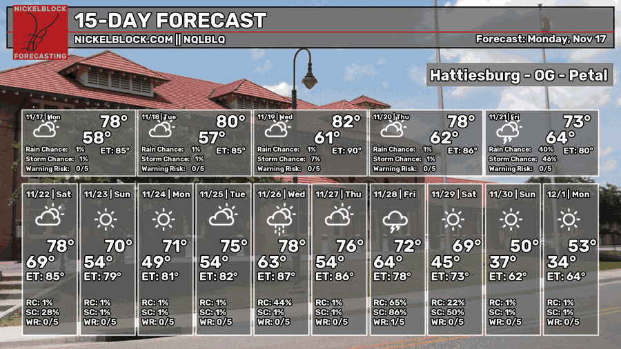
The NWS has already described this week to be unseasonably warm and even record breaking in some areas. While it’s not deathly hot by any means, it’s very noticeable for mid-November. A subtropical high pressure dome is currently over much of the Gulf South leaving us warm and dry and that won’t change until Friday.

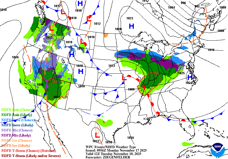
The high’s location and blocking will help with the formation of clouds for the next several days as larger fronts pass north. Southerly winds will also be a factor as we’re on the back side of the high. Temperatures will increase from around 80 today to the low-mid 80s by Wednesday. Lows will increase from the upper 50s to low 60s, so this will make for some more humid feeling nights.
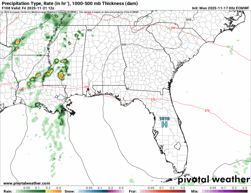
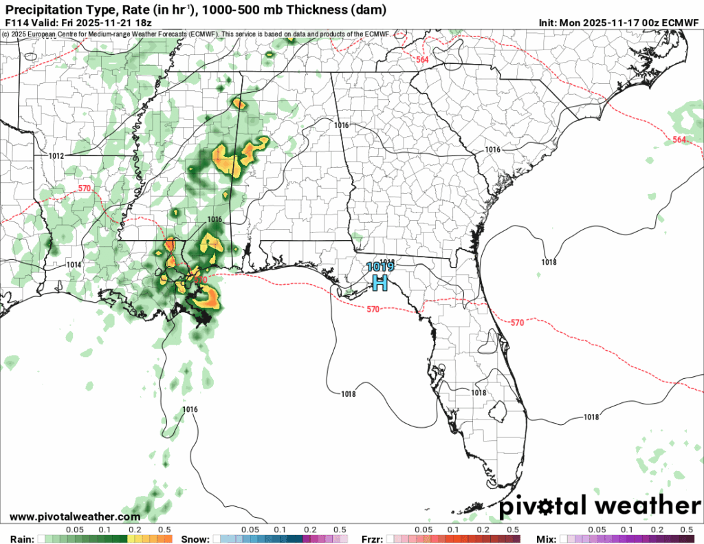
Overnight into Friday, our first front will break through the barrier. Rain chances are fairly good all throughout Friday, especially in the morning to mid-afternoon hours. Severity remains on the low side giving mainly for pockets of heavy rain. I won’t doubt we’ll see lightning and some gusty winds as well.
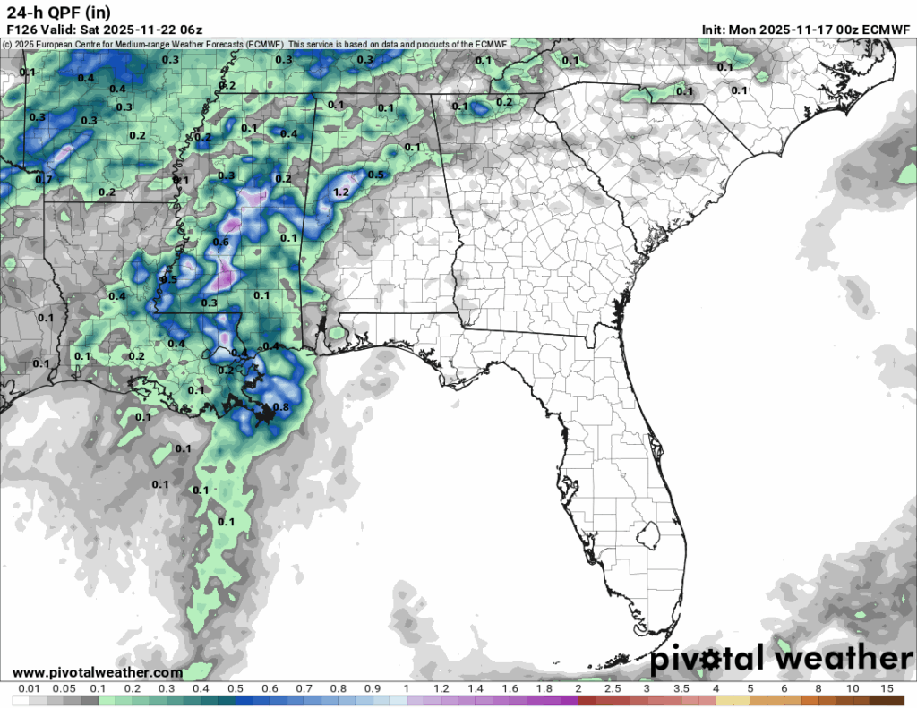
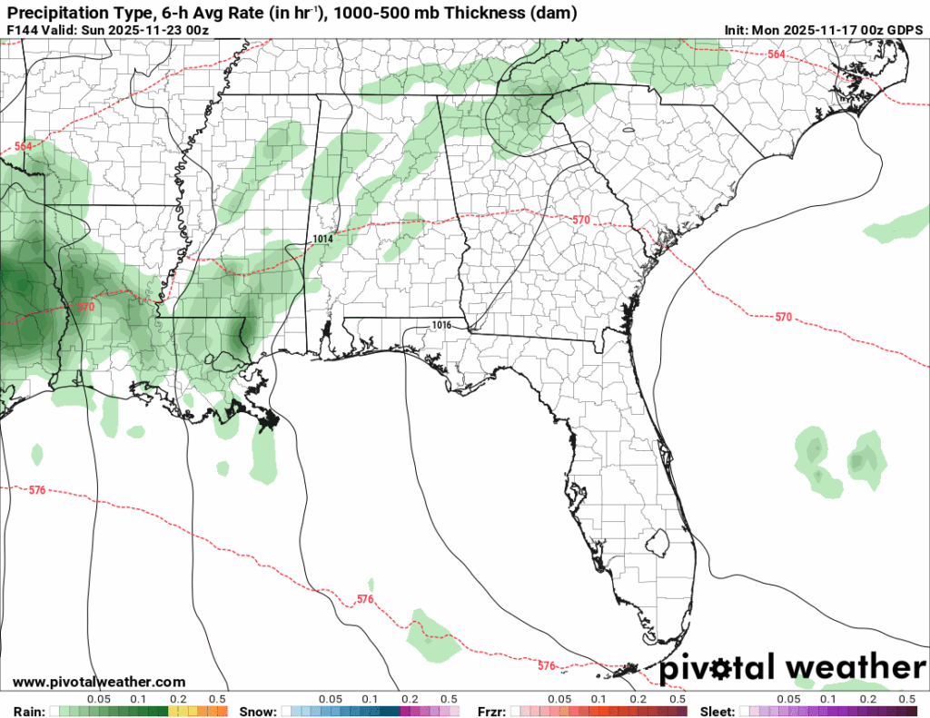
The forecast for this weekend has flip-flopped a bit between some rain and no rain and it’s still a bit iffy depending on the model. I think there’s still a small chance between Saturday and Sunday as the cold front moves through Saturday and another front gears up behind it Sunday. Like Nick said, have a backup plan for any outdoor plans this weekend.