It’s pretty darn cold out this morning! Lows fell into the low 20s and frost everywhere. We won’t get out of the 40s today either, so dress warm for your commute or if you’re working outside. Overnight, temperatures will fall again into the upper 20s, so keep your pipes and plants covered and your pets indoors. Tomorrow will be better with clear skies and a high in the mid 50s.

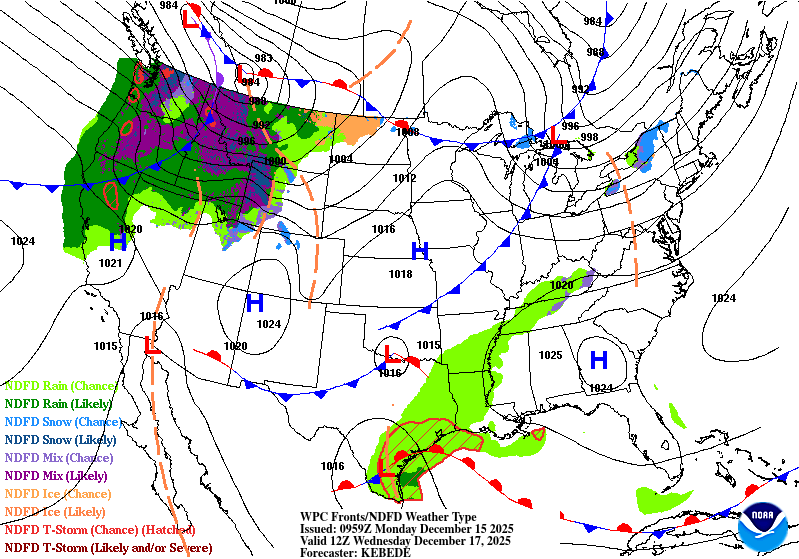
We’ll be on the warming trend by Wednesday. The large high pressure system that hovered over us begins to move east and give way to a large cold front that spans much of the continental US. While that might sound scary, later on this won’t bring a lot to us except some showers and thunderstorms. We’ll reach the upper 60s on Saturday with winds out of the southwest. Clouds will be increasing and lows will only fall into the low 50s.
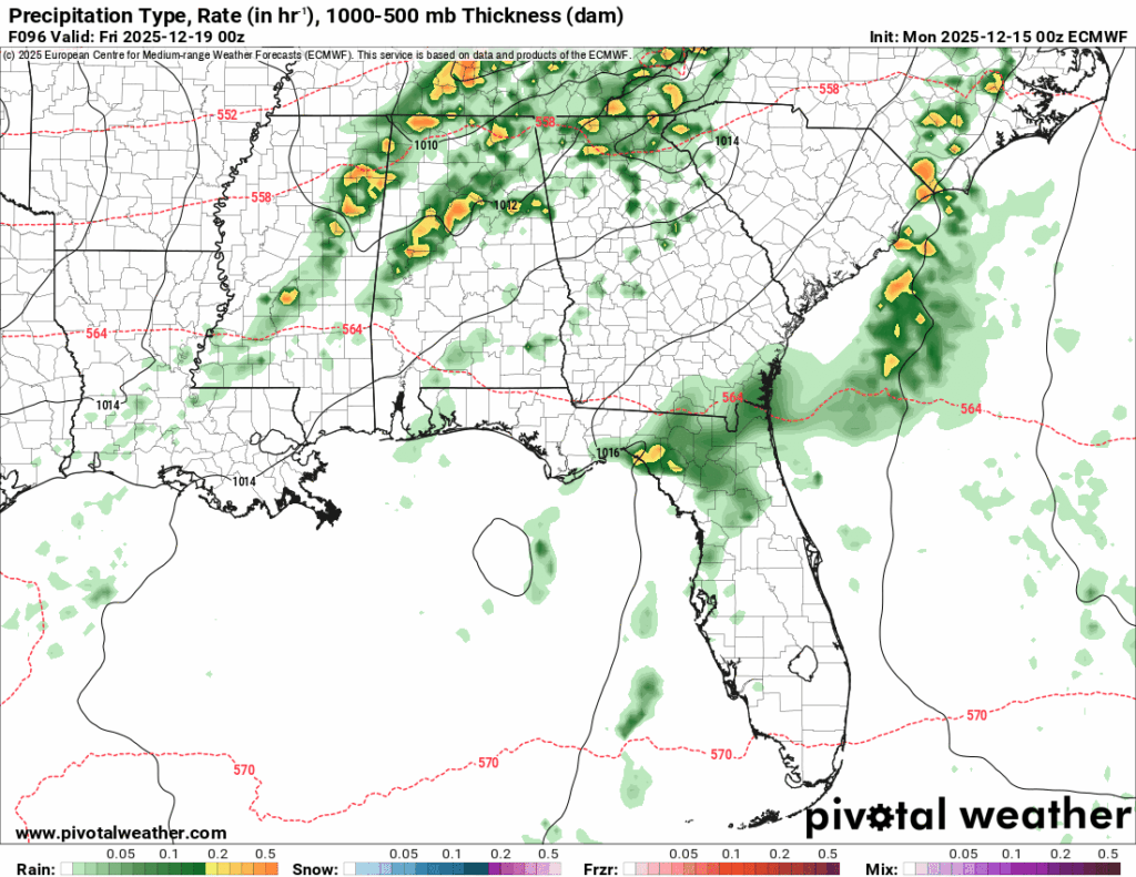
//Courtesy: Pivotal Weather
Scattered showers and a few thunderstorms are possible starting Thursday afternoon for much of the Pine Belt. Expect some on and off showers during the afternoon before a slightly more organized system moves in by the evening hours. Highs will be in the mid 70s during the day with winds out of the south southwest. Overnight as the cold front moves in, temperatures will fall into the mid 40s. Friday will be slightly windy in the morning with a high in the low 60s. Overnight, we’ll see clear skies and a low in the low 40s.
Hope you have a good week and be safe getting your Christmas shopping done!