Current Setup

Hey everyone! I am filling in for Noah today and Friday, so you’ll be hearing from me all week long! Not a whole lot going on weather wise for us, as we’re seeing a quiet week and an even quieter and nicer weekend ahead to look forward to. Let’s get into it!

Tonight’s Forecast
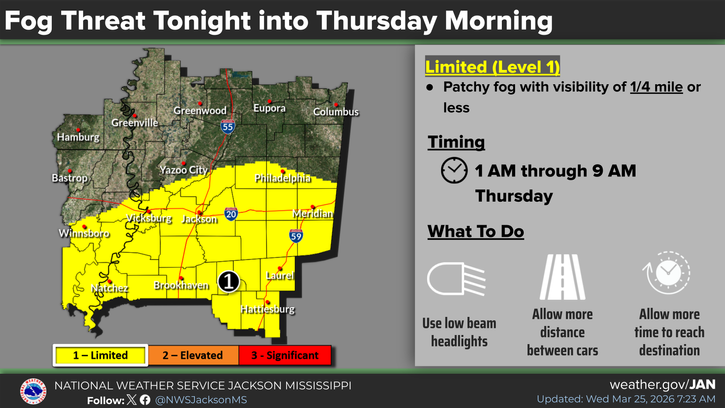
Tonight, we’ll see temperatures drop to the low-to-mid 50s. Increasing clouds are expected as well as some late night to early morning fog, which will affect areas in yellow, which is pretty much all of the Nickel Block Forecast region, even though this image only highlights Mississippi.
Why are we seeing this fog? Well, our relative humidity is on the rise to 100% overnight, which means the air temperature and the dew point temperature are the same and we have a moist surface layer, which forms clouds at the ground, AND we have calm winds that won’t blow it away!

Tomorrow’s Forecast: Thursday, March 26
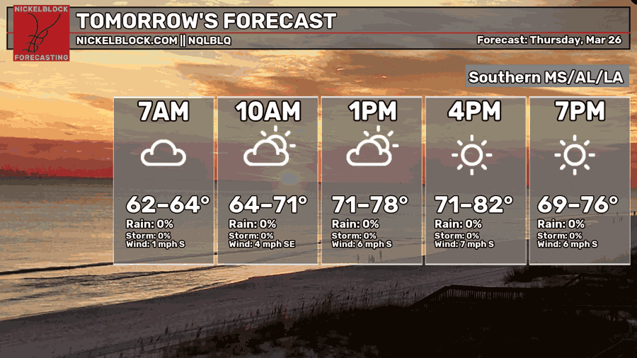
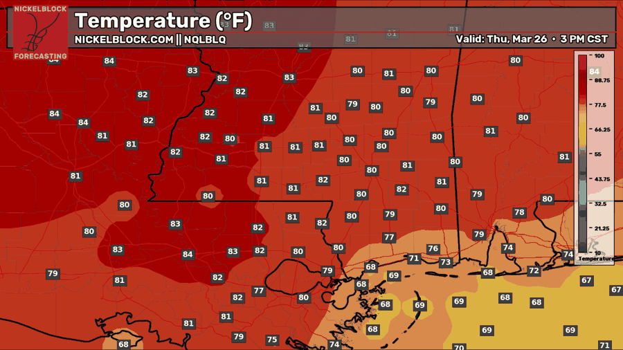
Tomorrow will start off cloudy as we will have that morning fog until about 9 am, but the sun will come out shortly after and there will be plenty of sunshine. Highs will continue above average around 80-82 in the mainland, and closer to 70 by the coastal areas. We’ll see a slight southerly breeze at around 5 mph, and feel some sticky humidity, but that’s about it in terms of weather!
Friday’s Forecast: March 27
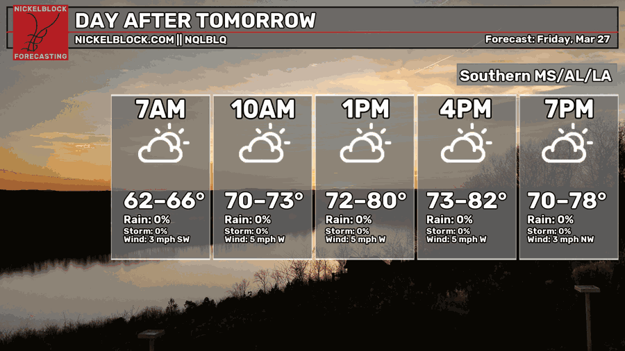
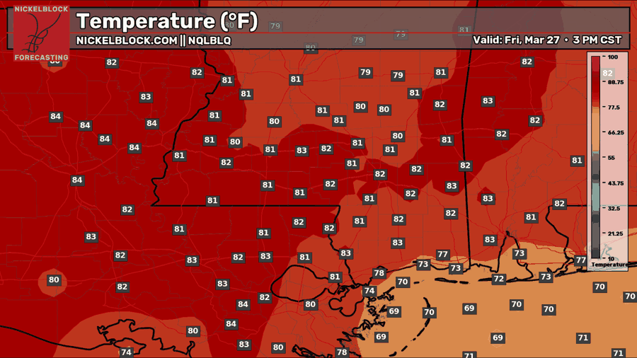
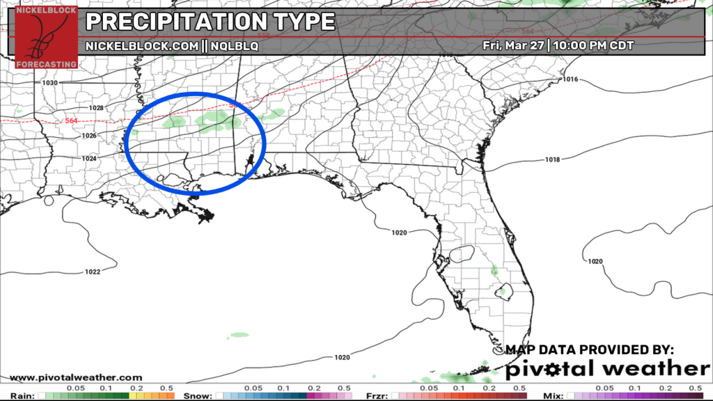
A similar day for the start of the weekend on Friday with a mix of sun and clouds and temperatures near 80-82 with some moderate humidity. We’re tracking a mostly dry cold front push through by late day Friday, which could drop a few showers in our area as it pushes through. The best timing for this front is looking like sometime from 8pm to midnight, and as it comes through, there will be sort of a gust front with some gusty winds, cooler temperatures, and very low humidity!

Extended Local Outlook
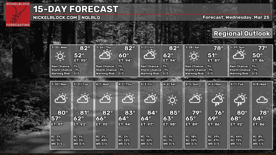
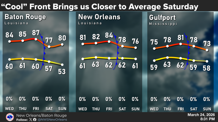
As shown in the cool graphic above from the NWS in New Orleans/Baton Rouge, this cold front, or “cool” front as they’re calling it, will drop temperatures for Saturday and Sunday to closer to average, which is the mid-to-upper 70s. The northerly flow will feel great, since dry air will be spilling down from the north, allowing for some really low humidity for Saturday and Sunday!


