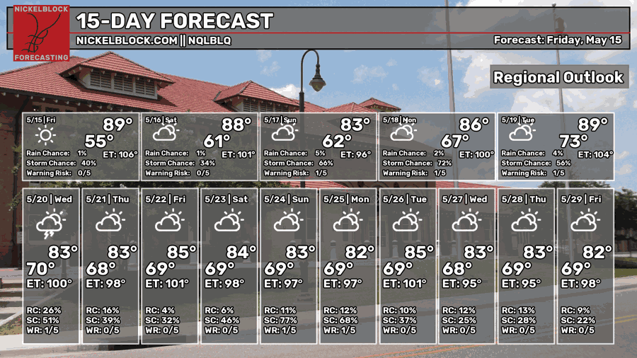
What a Friday! I’ve been bogged down with a large project and it’s been a headache. Hope y’all are doing well on this fabulous day! The weekend starts off clear and warm, but we’ll soon be in another rain pattern as we roll into Sunday. A stalling cold front will be our main contender for the contribution of all the rain.

Today
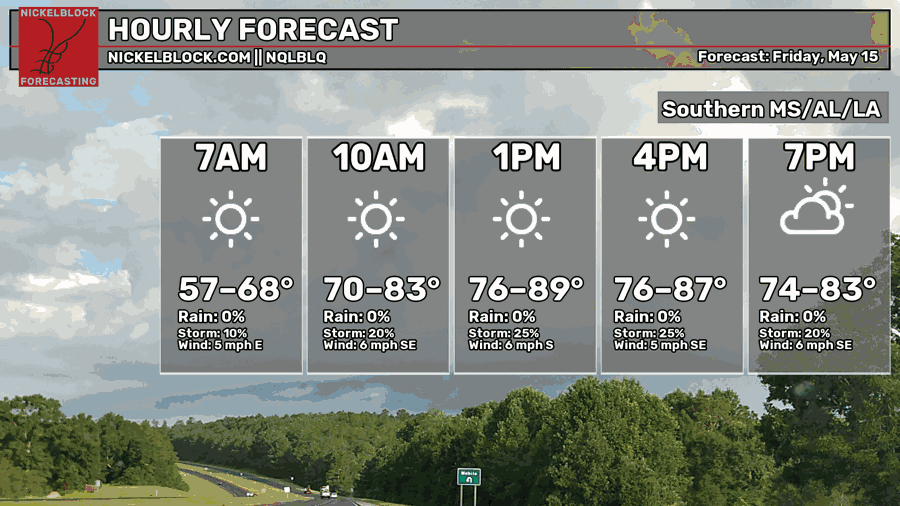
We’ve had a beautiful day with a surprising lack of humidity considering the southeastern winds. It’s going to stay pleasant into this evening, so enjoy the outdoors if you’re out and about tonight! The high hit in the mid 80s today and lows will fall into the low 60s tonight.

Tomorrow
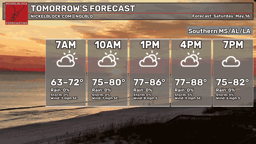
High and mid level clouds are moving in from the south and east tomorrow, so expect a partly to mostly cloudy day. Winds will shift from the southeast to the south during the day around 5-10mph. Highs will be in the mid to upper 80s with a bit more humidity compared to today. Overnight, temperatures will fall into the low to mid 60s with decreasing clouds.
Sunday
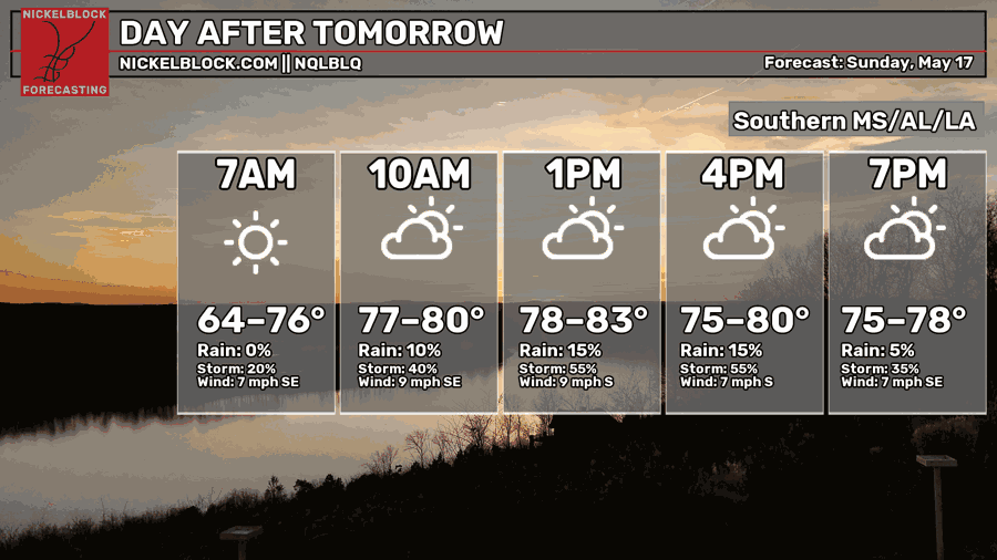
We’ll start off clear in the mid-morning, but some on and off rain showers are possible especially to the west of the Pine Belt along the MS/LA border. Storms will be moving northward during the day into central Mississippi. Expect a few showers and thunderstorms in the Pine Belt in the mid-afternoon to evening hours. Highs will be in the low 80s and lows in the mid 60s.
Next Week
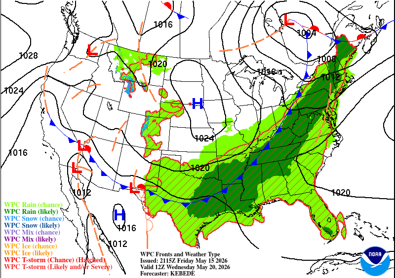
On and off rain chances are the name of the game next week. An incoming and slow-moving cold front will come into the southeast bringing more moisture to the region and with it, yep, more rain! On and off chances are possible Monday and Tuesday especially in the afternoon. Our biggest chance is on Wednesday as the front moves closer. The SPC has mentioned of a chance for severe weather and the European model suggests a few stronger ones in the cluster of storms that move in.
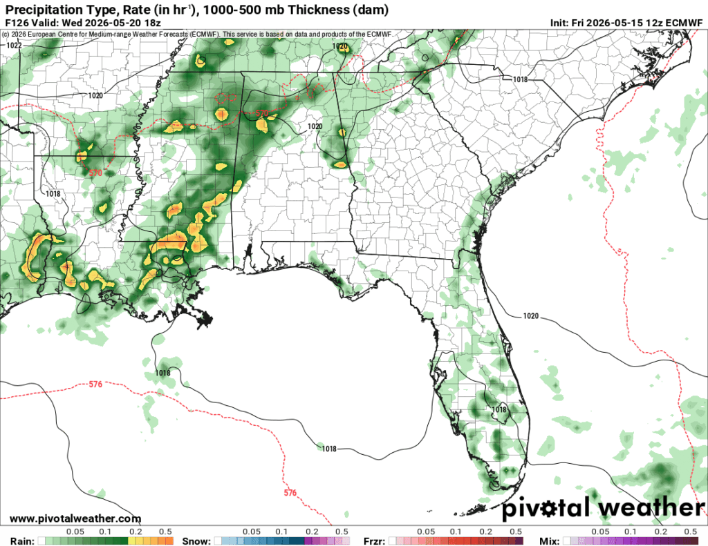
We’re right at the tail end of the front which makes some of these storms a little less organized than a more idealistic setup. That being said, severe weather is still possible especially with high dewpoints and a good amount of convection. I’d say this would be more of a heavy rain, wind, and hail event.
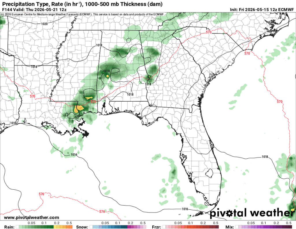
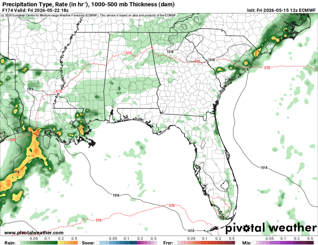
More rain will follow Thursday and Friday as the front swoops just around the mid-Mississippi area. This will also keep most of the rain towards our area. Overall, expect some soggy days as the rain moves in and out. The overall temperature will fall from the mid-upper 80s in the early week to the low 80s-upper 70s by Friday. That may sound great, but we know it’s definitely going to feel a bit soupy outside, especially with lows in the upper 60s to around 70.